[READY TO CHECK] Scotland’s 5 tallest mountains: giants of the Highlands
We reveal the 5 tallest mountains in Scotland, from the mighty Ben Nevis to the giants of the Cairngorms National Park
While each of the four nations that comprise the United Kingdom boast mountain regions of their own, Scotland’s high places are the highest, most extensive and the most spectacular. The country’s south is dominated by the wild, uninhabited Southern Uplands, a region of mostly modest hills and moorland. This gives way to the lowland Central Belt, where you’ll find the cities of Glasgow and Edinburgh, as well as upwards of the two-thirds of the country’s population.
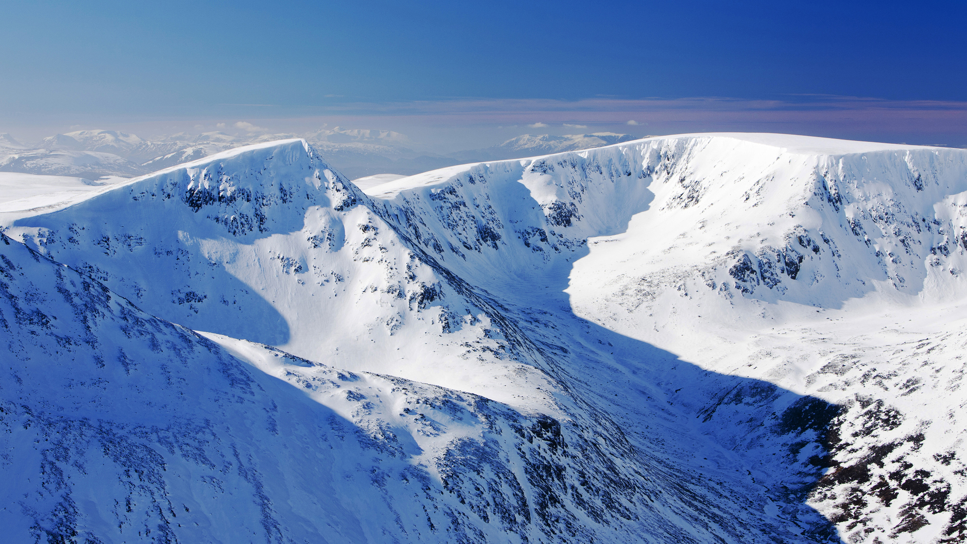
Travel north of the Central Belt and you come to Britain’s most vast and awe-inspiring landscapes, those of the Scottish Highlands and Islands. The sheer variety is astonishing, from the sub-Arctic plateau of the Cairngorms, where many of Scotland’s highest mountains are found, and the tight-knit peaks and ridges of the West Highlands; to the ancient, peculiar mountains of the Northwest and the intimidating and jagged Black Cuillin of Skye.
Scotland’s tallest mountains are generally found in either the sprawling Cairngorms or in the Lochaber region, where Ben Nevis, the nation’s highest and most famous mountain, is found. We asked one of our UK-based mountain experts to delve into the five highest lands in the Highlands, revealing some of their history and the legends associated with them.
Scotland's tallest mountains
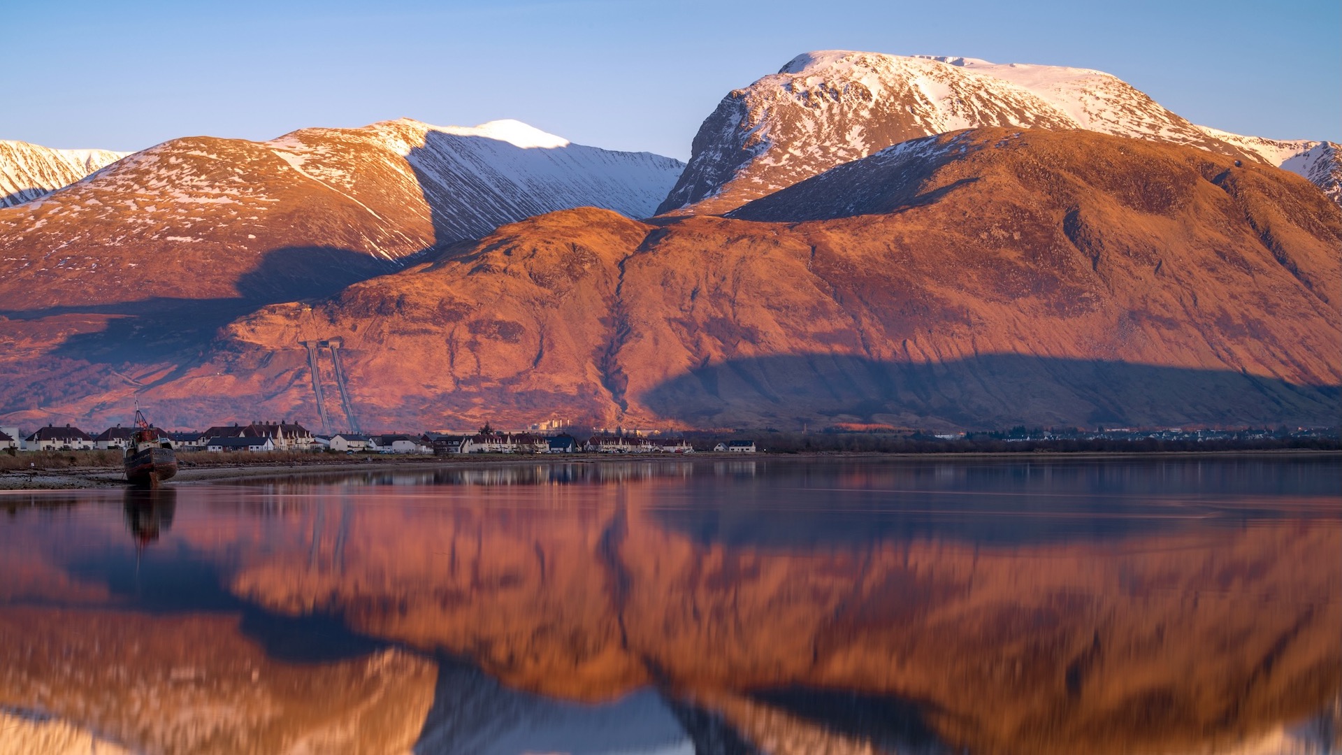
1) Ben Nevis: The spectacular remains of a 350-year-old volcano, Ben Nevis is the highest mountain in the UK.
2) Ben Macdui: A broad, high and remote Cairngorm summit with supernatural associations.
3) Braeriach: A mighty apex perched on the edge of a great system of glacial cirques.
4) Cairn Toul: A bulky mountain that towers above the Cairngorm's great Lairig Ghru pass.
Advnture Newsletter
All the latest inspiration, tips and guides to help you plan your next Advnture!
5) Sgòr an Lochain Uaine: Yet another Cairngorm giant, home to an enticing scrambler’s ridge.
Meet the expert

Qualified Mountain Leader and avid hiker, Alex adores the Highlands. Had he been born ten miles further north, he'd be Scottish himself. He has to make do with being English but he still travels up to Scotland as often as he can to get amongst its great mountains. He's enjoyed many great adventures exploring the peaks of Lochaber and the great sprawl of the Cairngorms.
Ben Nevis
Height: 1,345 meters
Location: Lochaber, West Highlands
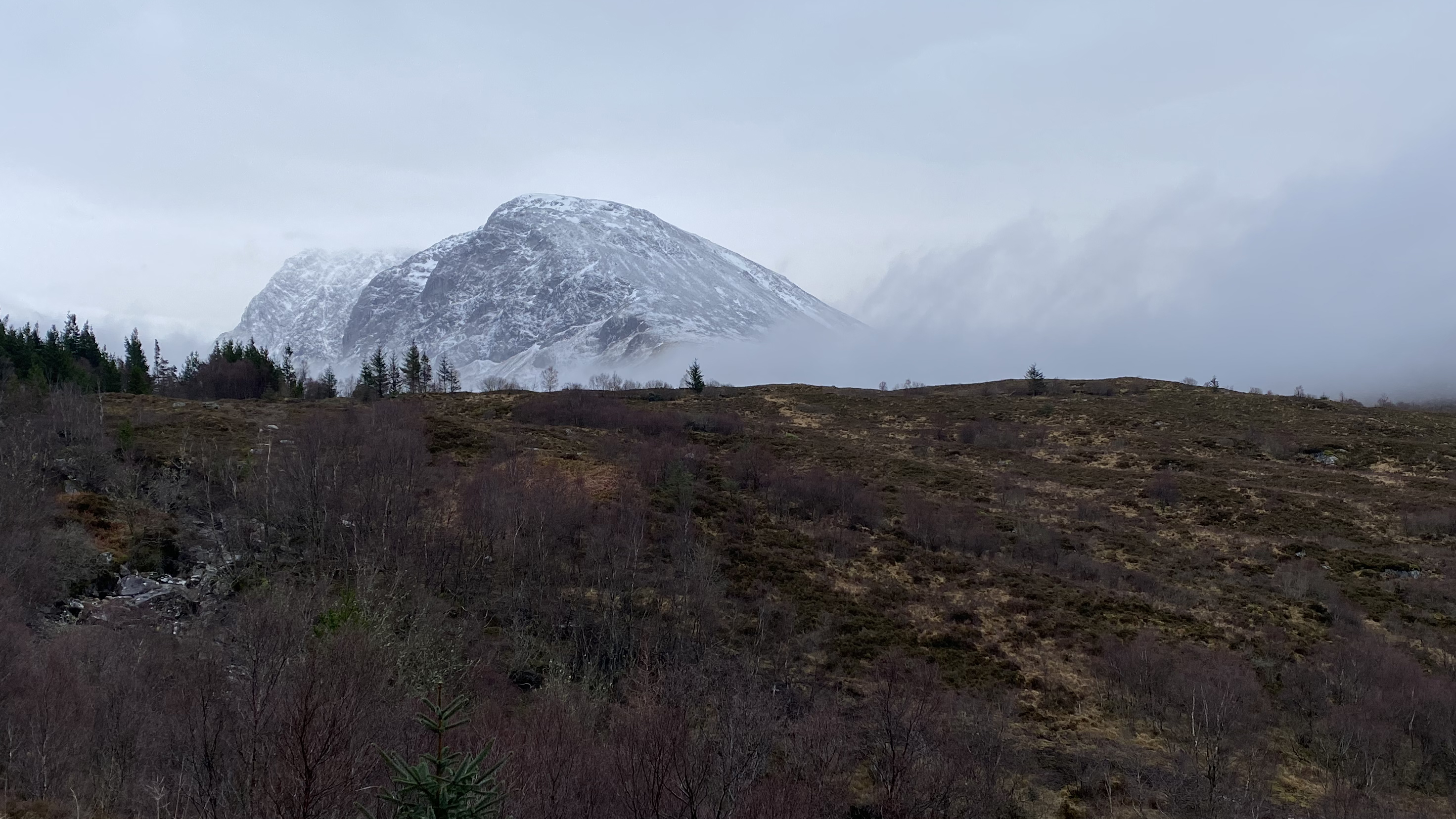
The gong of Scotland’s tallest mountain goes to Ben Nevis – the Ben – an iconic massif above the town of Fort William. It’s the odd one out among the five mountains here – the other four being found in relative proximity within the Cairngorms National Park. The Ben is the remains of an immense volcano that collapsed in on itself some 350 million years ago. Its great bulk has has since been sculpted by glaciers and the weathering of the ages.
From many angles, Ben Nevis assumes the form of a great, broad, steep-sided dome, quite at odds with the shaper peaks and ridges of the surrounding ranges. However, approach the mountain from the northwest and a very different picture emerges. A deep, glacial valley cuts into the mountain’s heart, revealing the dark crags, muscular buttresses, intimidating gullies and soaring ridge lines of the North Face. This is the mountain’s finest feature, a masterpiece of rocky architecture only rivalled, in UK terms, by the Black Cuillin on the Isle of Skye.
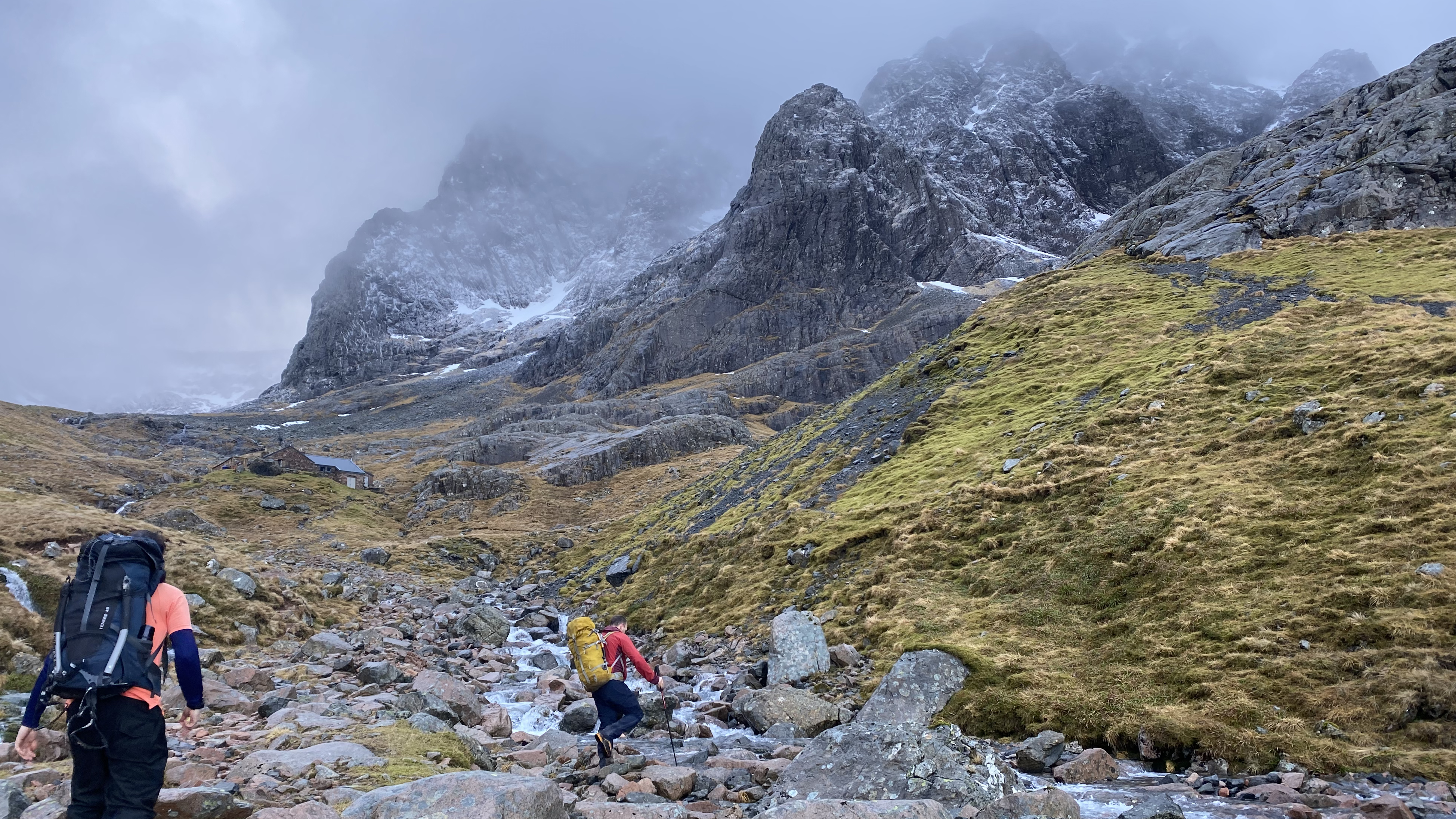
It’s thought that around 150,000 people attempt to climb to its summit every year, most by way of the Mountain Track (also known as the Pony Track). This route snakes up the Ben’s relatively featureless western flank and, while strenuous, is technically straightforward. This path originally provided access to a meteorological observatory that, incredibly, was permanently manned between 1883 and 1904. I say incredibly because the Ben is prone to extreme weather, particularly in winter, when the summit can be an absolutely savage place. The remains of the observatory still stand as testament to this unique scientific endeavor.
For scramblers and climbers, the Ben’s North Face is the place to be, though it’s a remote setting, involving a long walk in. This is a world-class mountaineering arena that attracts climbers from all over the world, with many historic routes of varying difficulty. The spectacular Tower Ridge is one of the great mountaineering lines in the UK – long, committing and alpine in character. Meanwhile, linking to the summit from the east is the Càrn Mòr Dearg Arête (often shortened to CMD Arête), a grade one scramble that’s a more adventurous alternative to the Pony Track for hikers and runners.
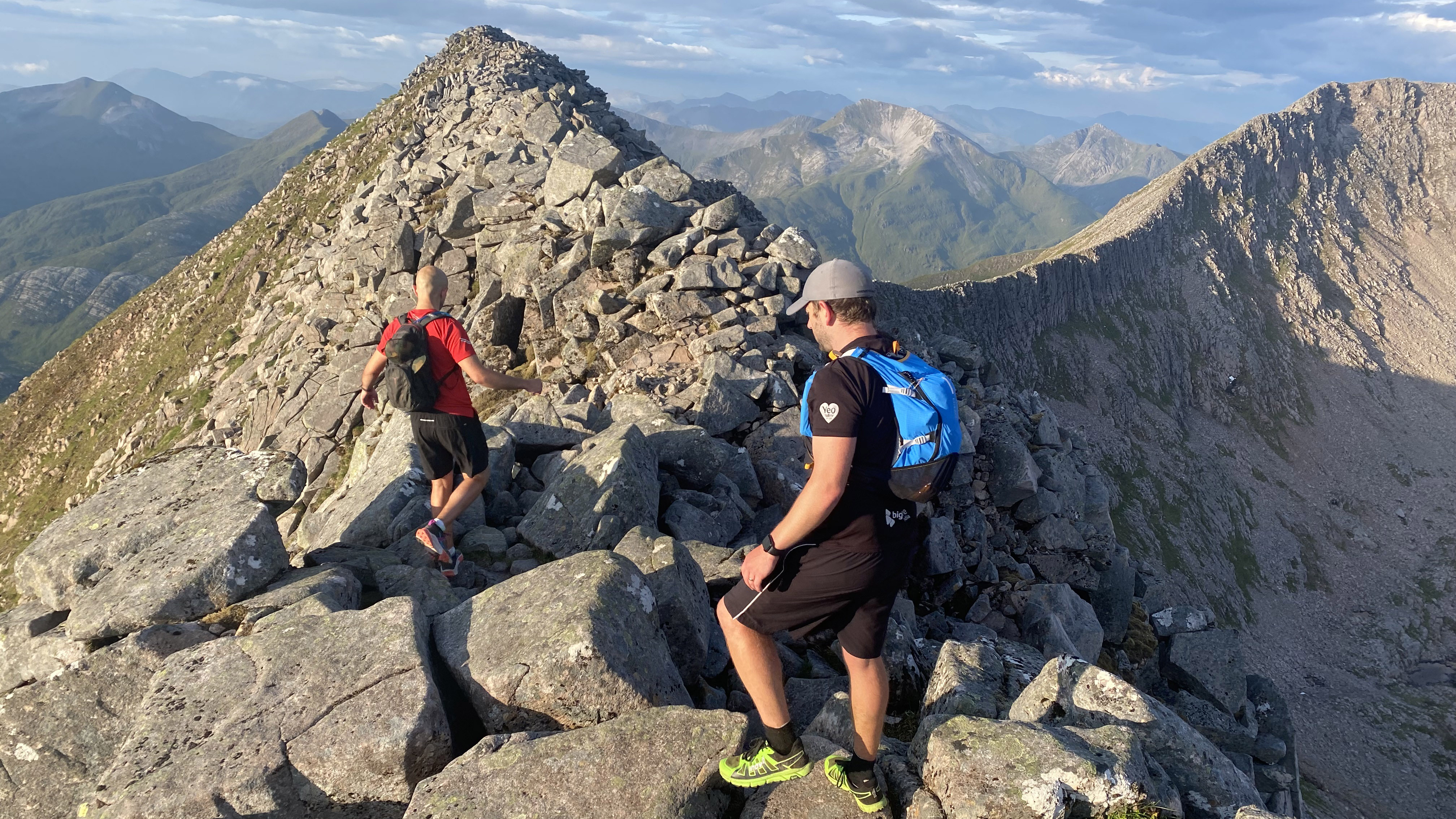
Beneath the cliffs of the North Face, is the Charles Inglis Clark Hut (CIC Hut), named after a soldier who perished in the First World War. This alpine style hut is owned by the Scottish Mountaineering Club and provides unrivalled access to the North Face.
Ben Macdui
Height: 1,309 meters
Location: Cairngorms National Park
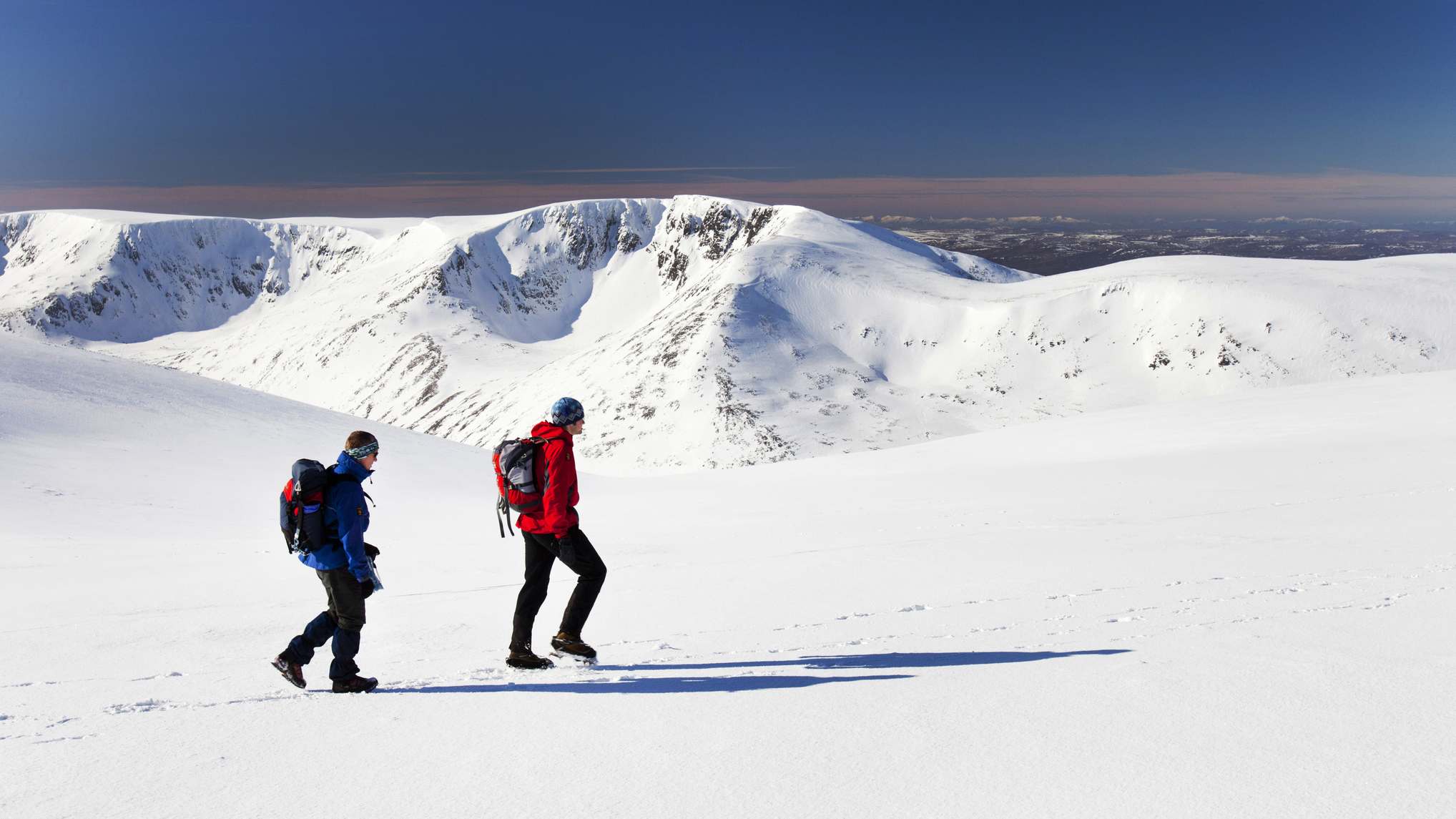
The Cairngorms contrast starkly to the peaks found in the West and Northwest Highlands. These weathered granite hulks are characterized by their rounded forms and the sub-Arctic climate found on the high plateaus. Six of Scotland’s ten highest mountains are found here and the region contains the largest tracts of high ground in the UK. The highest tract of all, is the broad top of Ben Macdui.
Hard won and remote, Ben Macdui is a much wilder place than Ben Nevis, with only a fraction of the footfall that Scotland’s tallest mountain sees. The Cairngorms are renowned for their challenging conditions, which combined with the featureless nature of the terrain can make navigation, particularly winter navigation, difficult. Ben Macdui is particularly prone to whiteouts and poor visibility.
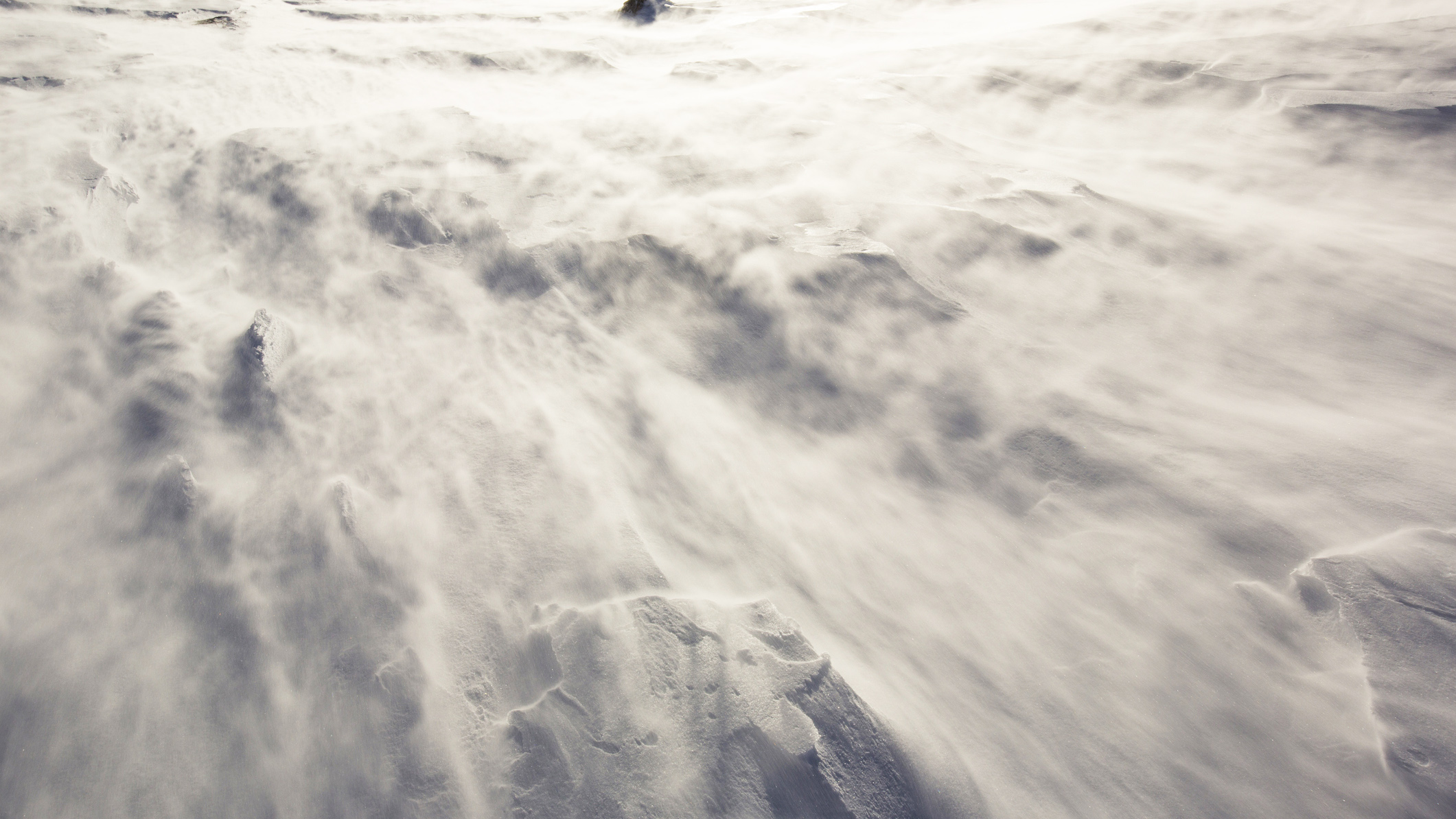
This, coupled with its remoteness, may have something to do with the legend of Am Fear Liath Mòr – the Old Grey Man of Ben Macdui. This wraith-like spirit is said to haunt the mountain and there are many tales associated with a ghoulish presence being felt, seen or heard on the high plateau. It’s easy to imagine the mind playing tricks on exhausted hikers and mountaineers fumbling their way through the clag. Or, perhaps, there’s more to Ben Macdui than initially meets the eye…
Braeriach
Height: 1,296 meters
Location: Cairngorms National Park
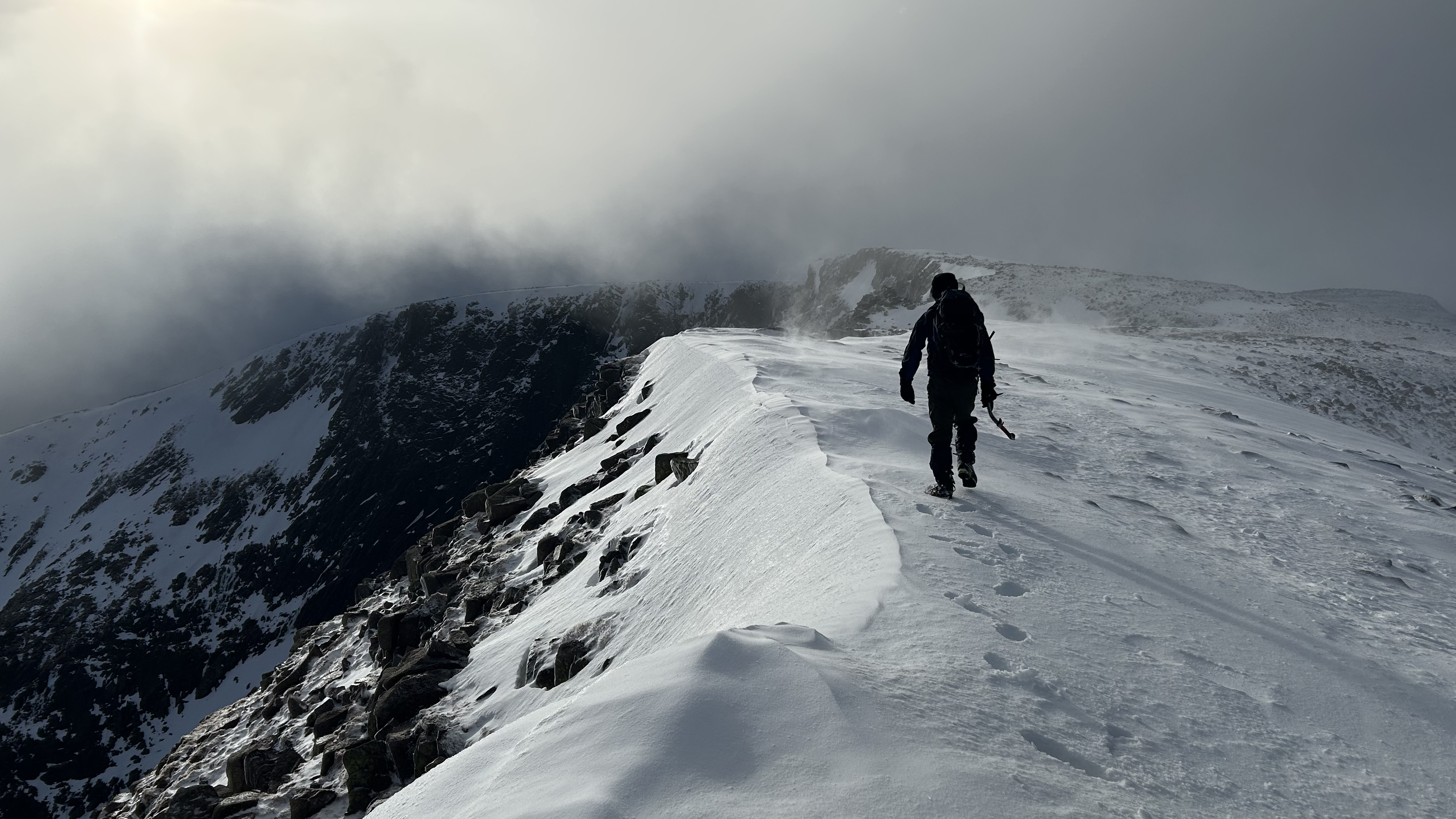
Scotland’s 3rd, 4th and 5th highest mountains are also located in the Cairngorms, just a short distance to the west of Ben Macdui, on the other side an immense trench, the Lairig Ghru. This famous mountain pass splits the heart of the Cairngorm plateau in two, running north-south from Speyside in the north to Deeside in the south. The source of the River Dee, one of Scotland’s great rivers, is found not far from the 836-meter high point of the pass.
Around 460 metres above and two kilometers southwest of this is the summit of Braeriach, Scotland’s 3rd highest mountain. The very apex is perched on the edge of the cliffs of Coire Brochain, one of four glacial cirques that combine to form one great super corrie, An Garbh Choire, to the south of the mountain. Three more corries are found to the north, making Braeriach a spectacular, vast and unique setting – the mountain is often cited as the finest in the Cairngorms.
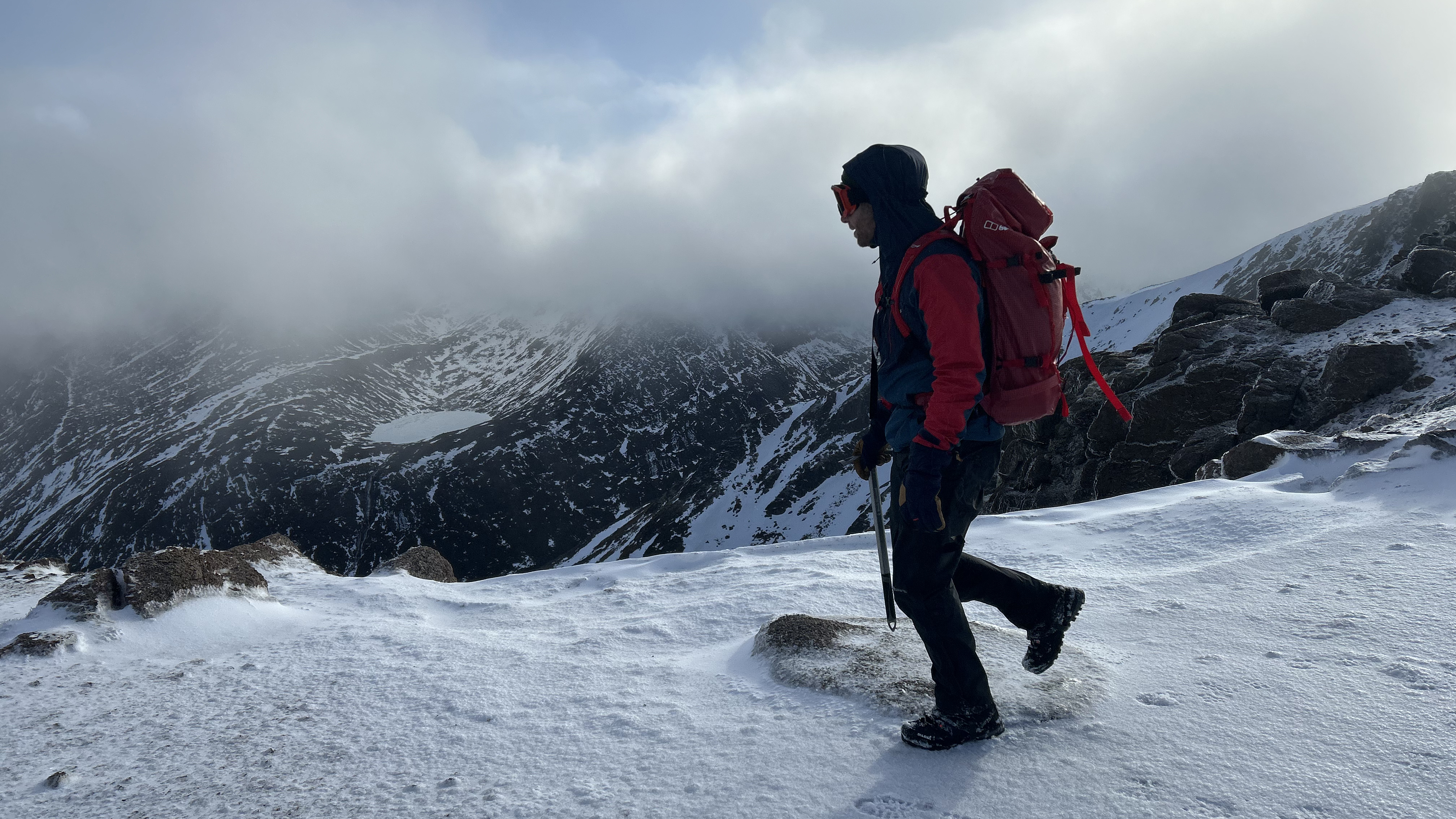
In winter, the corrie rims are renowned for their huge snow cornices, which makes approaching the very summit of Braeriach, on the very edge of the abyss, a potentially dangerous proposition. Careful navigation is required and many use a rope in order to make the exploration of the summit region safe.
The mountain is also a study in climate change. On Garbh Coire Mor, one of the cirques of the super corrie, Britain’s longest lasting snow patch can usually be found. This remote patch, named the Sphinx, has survived almost every summer over the last 300 years, only melting completely in 1933, 1959, 1996, 2003, 2006, 2017, 2018, 2021, 2022, 2023 and 2024. As is obvious, its summer demise is fast becoming a yearly occurrence, with snow scientists pointing to climate change as the cause.
Cairn Toul
Height: 1,291 meters
Location: Cairngorms National Park
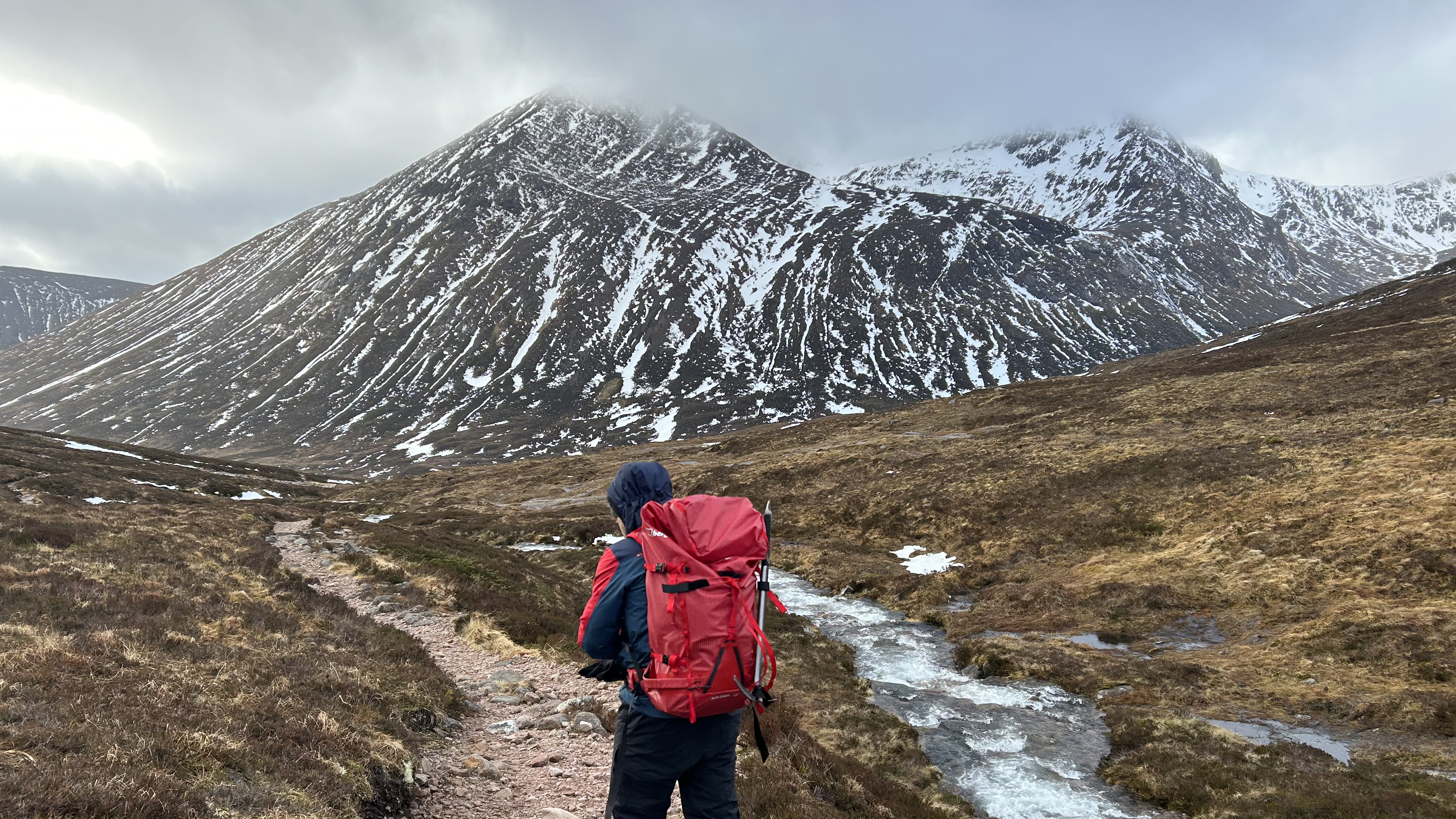
South of Braeriach, as part of the same massif, are Scotland’s 4th and 5th tallest mountains: Sgòr an Lochain Uaine and Cairn Toul. Cairn Toul is the higher of the two, standing proud above the Lairig Ghru pass, at the southeastern end of the the An Garbh Corrie system. Its name comes from the Gaelic Cárn an t-Sabhail, meaning ‘the hill of the barn’. This uninspiring title may come from the mountain’s square-shaped appearance when viewed from the vast Moine Mhor to the west.
Cairn Toul is often ascended alongside the Devil’s Point, a dramatic neighbouring peak to the southeast. This anglicised name has an interesting story behind it. In Gaelic, the peak is known as Bod an Deamhain – literally ‘the Penis of the Demon’. While exploring the region, Queen Victoria asked her ghillie (guide) John Brown what the name of the peak was. To save embarrassment, he quickly improvised a toned-down version of the name. ‘It’s the Devil’s Point, your majesty.’ The name has stuck ever since.
Beneath these two peaks is one of Scotland’s most famous bothies, Corrour. This simple stone shelter provides a welcome refuge in one of the Highland’s most remote spots and is a good launch base for bids to climb the Devil’s Point, Cairn Toul, Braeriach and Ben Macdui.
Sgòr an Lochain Uaine
Height: 1,258 meters
Location: Cairngorms National Park
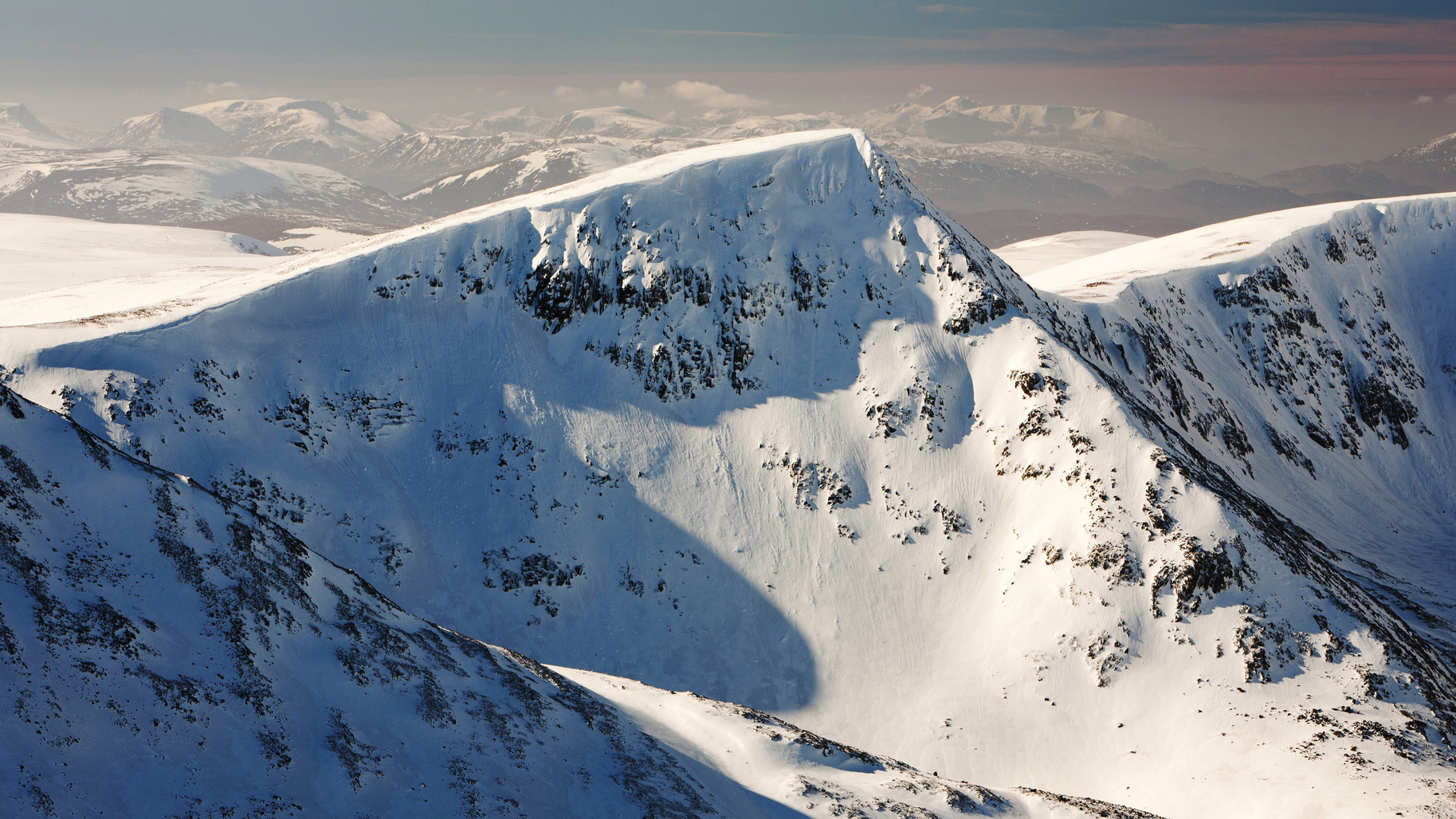
As well as a Devil’s Point, this part of the Cairngorms is also home an Angel’s Peak, Sgòr an Lochain Uaine. It’s a close neighbor and twin to Cairn Toul, standing on the western end of the lochan adorned corrie for which it is named, while Cairn Toul occupies the eastern end. The alternative name of Angel’s Peak, balancing good and evil in the region, was supposedly given the mountain in the 19th century by a member of the Cairngorm Club, an Aberdeen-based mountaineering club.
Perhaps the mountain’s finest feature is the arrow-straight ridge that rises up to the summit from the west shore of the lochan. This is the North East Ridge, a grade one scramble in a breathlessly spectacular setting. In a place characterized by broad plateaus and great glacial scoops, a sharp ridge such as this is sure to draw the eye like sunlight glinting off a razor.
Sgòr an Lochain Uaine, like the other summits in this list, is a Munro – a prominent Scottish peak of over 3,000 feet, of which there are currently 282. However, it was only promoted to this prestigious list in 1997 by the Scottish Mountaineering Club. Previously, it was considered to be a subsidiary top of Cairn Toul, unworthy of the status in its own right. It seems that the authorities within the prestigious club agreed that elevation change between the two peaks was enough to bestow the peak with the Munro title.
Alex is a freelance adventure writer and mountain leader with an insatiable passion for the mountains. A Cumbrian born and bred, his native English Lake District has a special place in his heart, though he is at least equally happy in North Wales, the Scottish Highlands or the European Alps. Through his hiking, mountaineering, climbing and trail running adventures, Alex aims to inspire others to get outdoors. He's the former President of the London Mountaineering Club, is training to become a winter mountain leader, looking to finally finish bagging all the Wainwright fells of the Lake District and is always keen to head to the 4,000-meter peaks of the Alps. www.alexfoxfield.com

