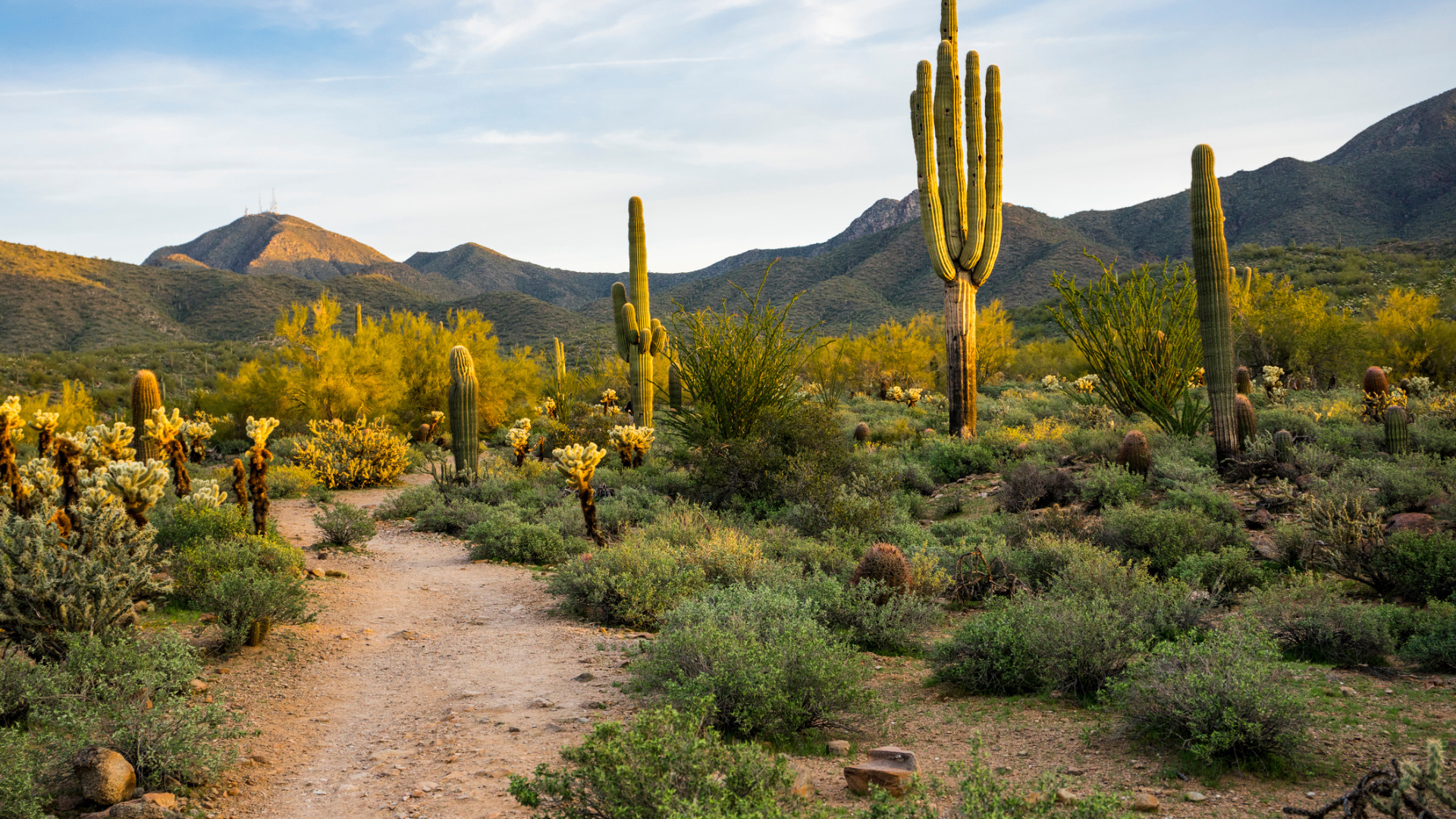
Take a hike on one of these 11 National Scenic Trails
Discover natural wonders and historic sites along the 11 National Scenic Trails with day hikes, section hikes and thru-hikes
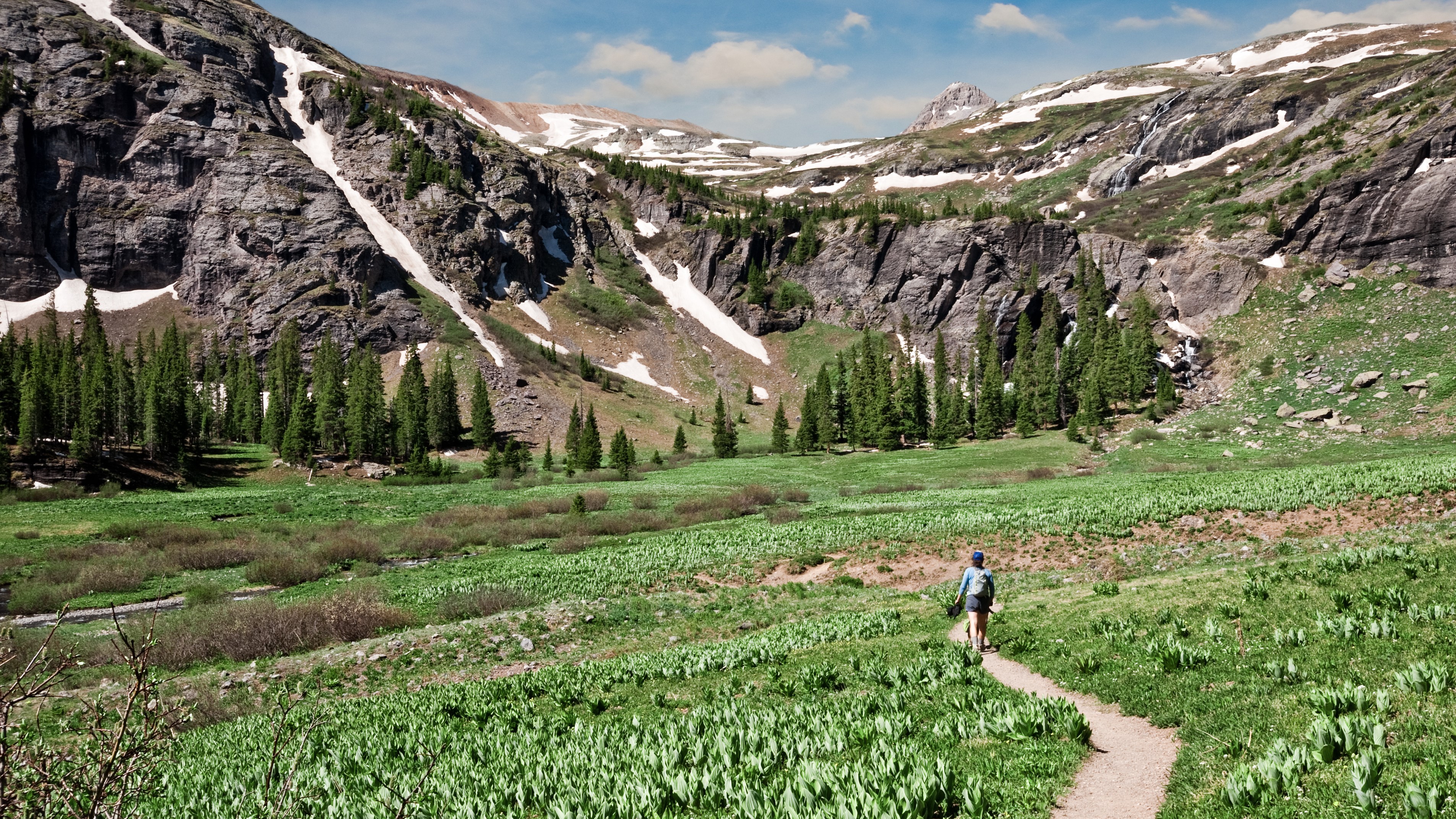
You’ve heard of National Parks and National Monuments, but what about National Scenic Trails? These recreational long-distance trails are also managed by the National Parks Service and are part of the National Trail System, designed to promote public access to areas of natural beauty as well as historic significance. There are 11 National Scenic Trails that criss-cross the country, showcasing our diverse ecology from rugged mountain ranges to endless coastlines, weaving around the Great Lakes, through National Parks and following important watersheds. These trails are all non-motorized and together encompass much of the best hiking the country has to offer. Though opportunities abound for epic thru-hiking adventures, all of these National Scenic Trails lend themselves to memorable day hikes and shorter backpacking trips and section hikes, too. If your regular hikes are getting a little stale, it’s time to grab your hiking boots, load up your backpack and hit one (or two) of these National Scenic Trails.
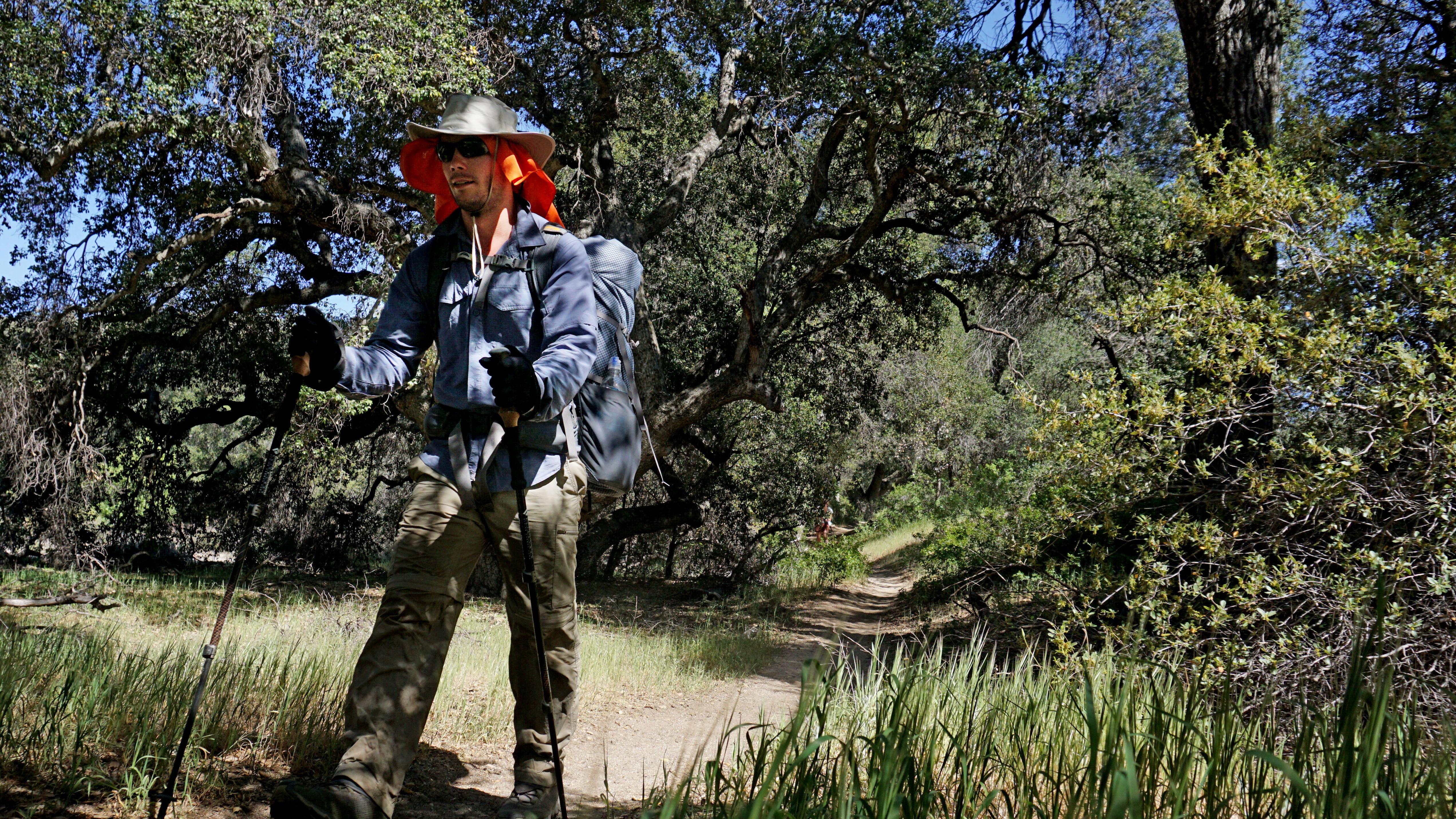
Appalachian Trail
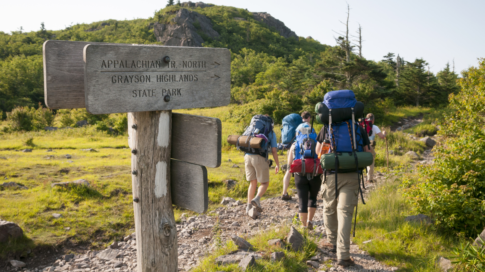
- Length: 2,190 miles
- Where is it? Georgia, North Carolina, Tennessee, Virginia, West Virginia, Maryland, Pennsylvania, New Jersey, New York, Connecticut, Massachusetts, Vermont, New Hampshire, Maine
The Appalachian Trail, or AT as it is commonly referred to, is the nation’s first National Scenic Trail and the world’s longest hikers-only footpath. Stretching approximately 2,200 miles from Springer Mountain in northern Georgia to the summit of Mount Katahdin in Maine, the AT crosses 14 states along the eastern seaboard, mostly in the Appalachian Mountains. On a typical year, the AT now sees upwards of three-million visitors of all ages every year. Of those, 3,000 start out with a plan to thru-hike while only about a quarter are successful. The average person takes just under six months to complete the trail, while the record time is currently 41 days.
Fun fact: The elevation gained by hiking the entire Appalachian Trail is equivalent to climbing Mount Everest 12 times.
Arizona Trail
- Length: 800 miles
- Where is it? Arizona
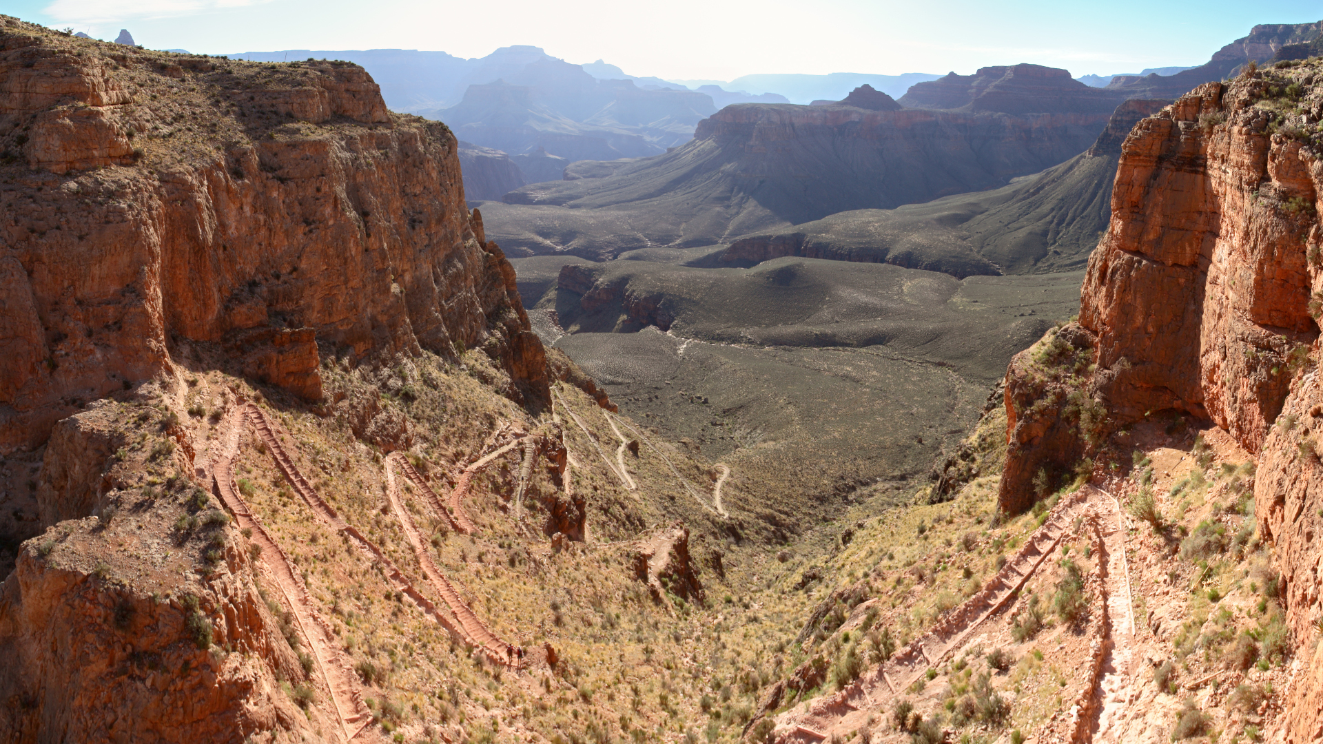
The Arizona Trail traverses the entire state north to south from Mexico to New Mexico. Established in 2009 by connecting pre-existing paths, this primitive trail is intended for use by hikers, mountain bikers, equestrians and even cross country skiers and showcasing the ecological diversity of the state. The trail is divided into 43 sections, called Passages, three of which take you from the South to the North Rim of the Grand Canyon, where you can check off another bucket list item.
Fun fact: All finishers of the Arizona Trail receive a copper belt buckle from the Arizona Trail Association.
Continental Divide Trail
- Length: 2,500 - 3,100 miles
- Where is it? Montana, Idaho, Wyoming, Colorado, New Mexico
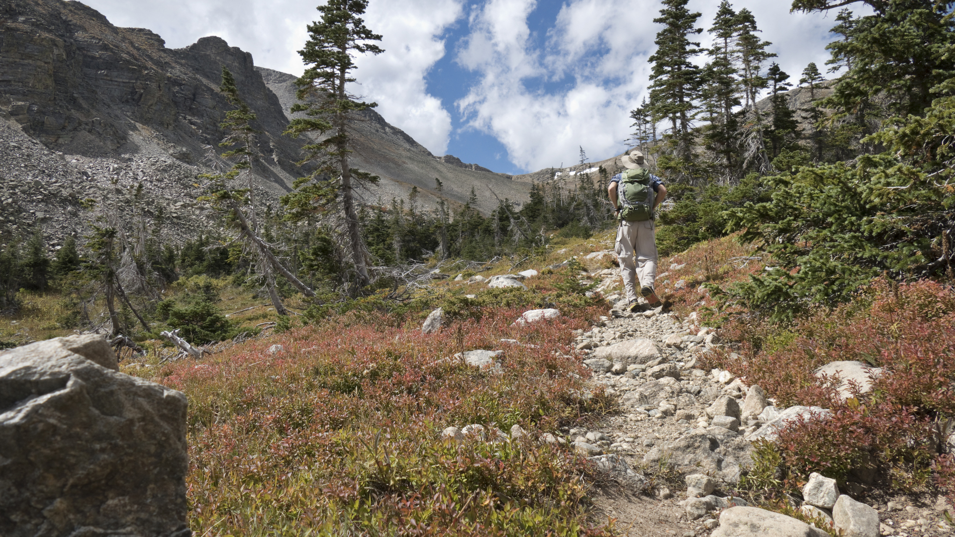
The Continental Divide Trail, or CDT, follows the Continental Divide, which separates the watershed that divides river drainage into the Pacific and Atlantic oceans in the US. The CDT spans diverse landscapes from tundra to desert, and takes hikers through Glacier, Rocky Mountain and Yellowstone National Parks, and over the summit of Grays Peak, a Colorado 14er. It is considered the most challenging of all the Scenic Trails in the US and also the most remote. It’s also the highest – the lowest point on the entire trail is in New Mexico at 4,189ft above sea level. Only about 150 people per year are thought to complete the thru-hike.
Fun fact: The CDT is about 94% completed and therefore its length varies as the route is finalized, meaning it can be anywhere from 2,700 to 3,150 miles.
Advnture Newsletter
All the latest inspiration, tips and guides to help you plan your next Advnture!
Florida Trail
- Length: 1,500 miles
- Where is it? Florida
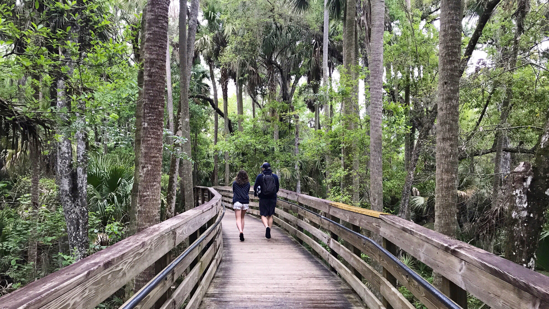
The Florida Trail begins at Big Cypress National Preserve and ends at Gulf Islands National Seashore. The idea for the trail came from hiker Jim Kern who had recently returned to Miami after hiking the Appalachian Trail and the first blaze was painted in 1966. Hikers on the Florida trail can experience an incredibly wide range of ecosystems – from swamplands to pine plantations – and of course, wildlife including alligators, sea turtles, black bears and osprey.
Fun fact: The Trail’s location and the geography of this narrow state means that the trail is within an hour of most people who live in Florida.
Ice Age Trail
- Length: 1,200 miles
- Where is it? Wisconsin
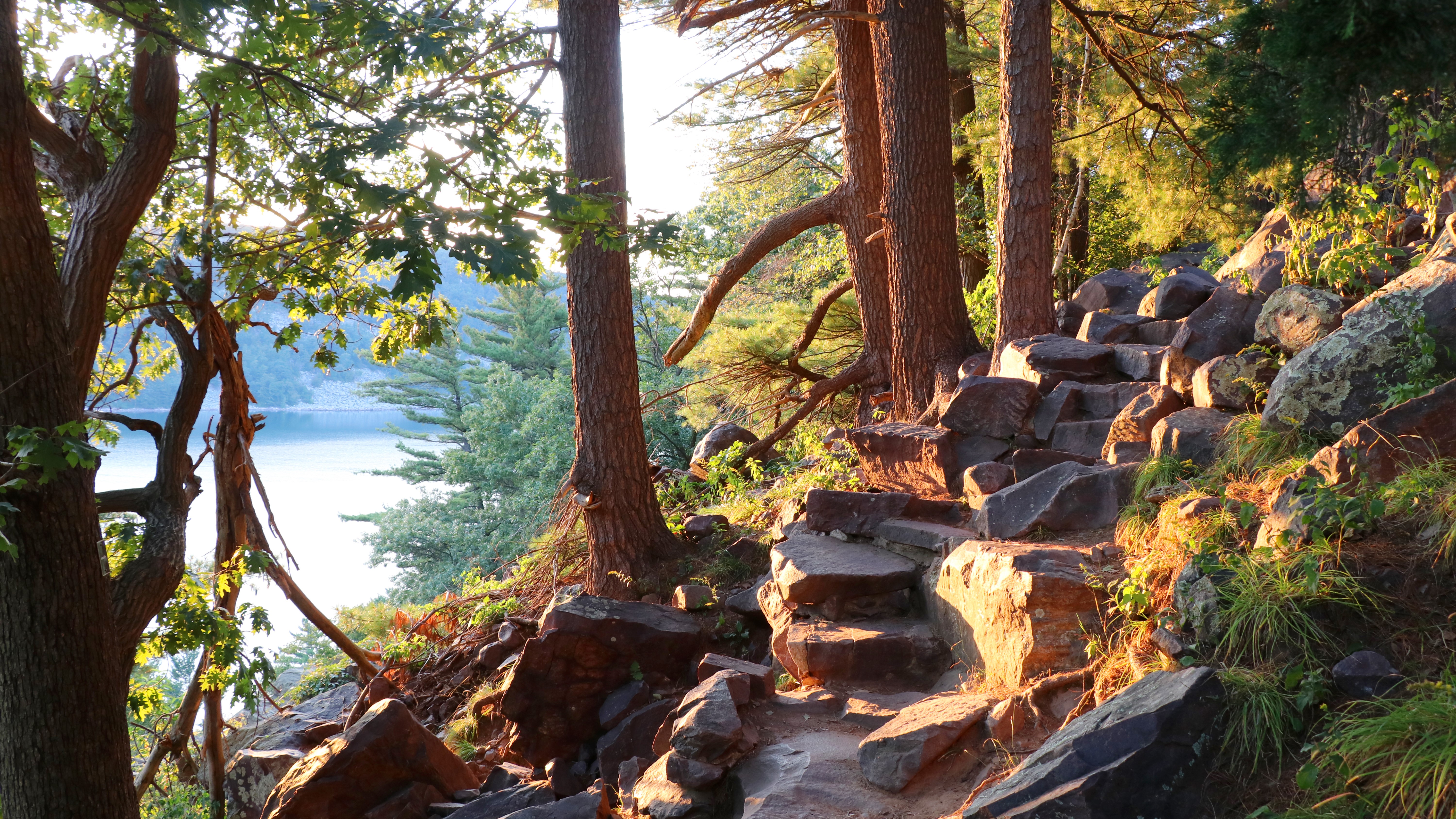
The Ice Age trail takes you through a twelve hundred-mile path in the footprint left behind by glaciers over 12,000 years ago. Today you’ll wind through woodland terrain popular for forest bathing and enjoy glacial landforms from the northwestern part of Wisconsin to St Croix falls on the shores of Lake Michigan. The trail is thought to host over two million visitors per year.
Fun fact: The trail is not yet complete and more than 500 miles of unmarked routes connect the blazed sections.
Natchez Trace Trail

- Length: 65 miles
- Where is it? Mississippi
The Natchez Trace Parkway Scenic Motor Road is a 444-mile scenic drive between Natchez, Mississippi and Naschille. The Natchez Trace Trail roughly follows a section of the road and isn’t one long continuous trail but rather connects and provides five separate sections of trail that are between three and 25 miles each through pretty woodland and nature areas as well as by the city of Tupelo.
Fun fact: Hikers on the Rocky Springs section can see the historic ghost town of Rocky Springs, Mississippi on their way.
New England Trail
- Length: 215 miles
- Where is it? Connecticut and Massachusetts
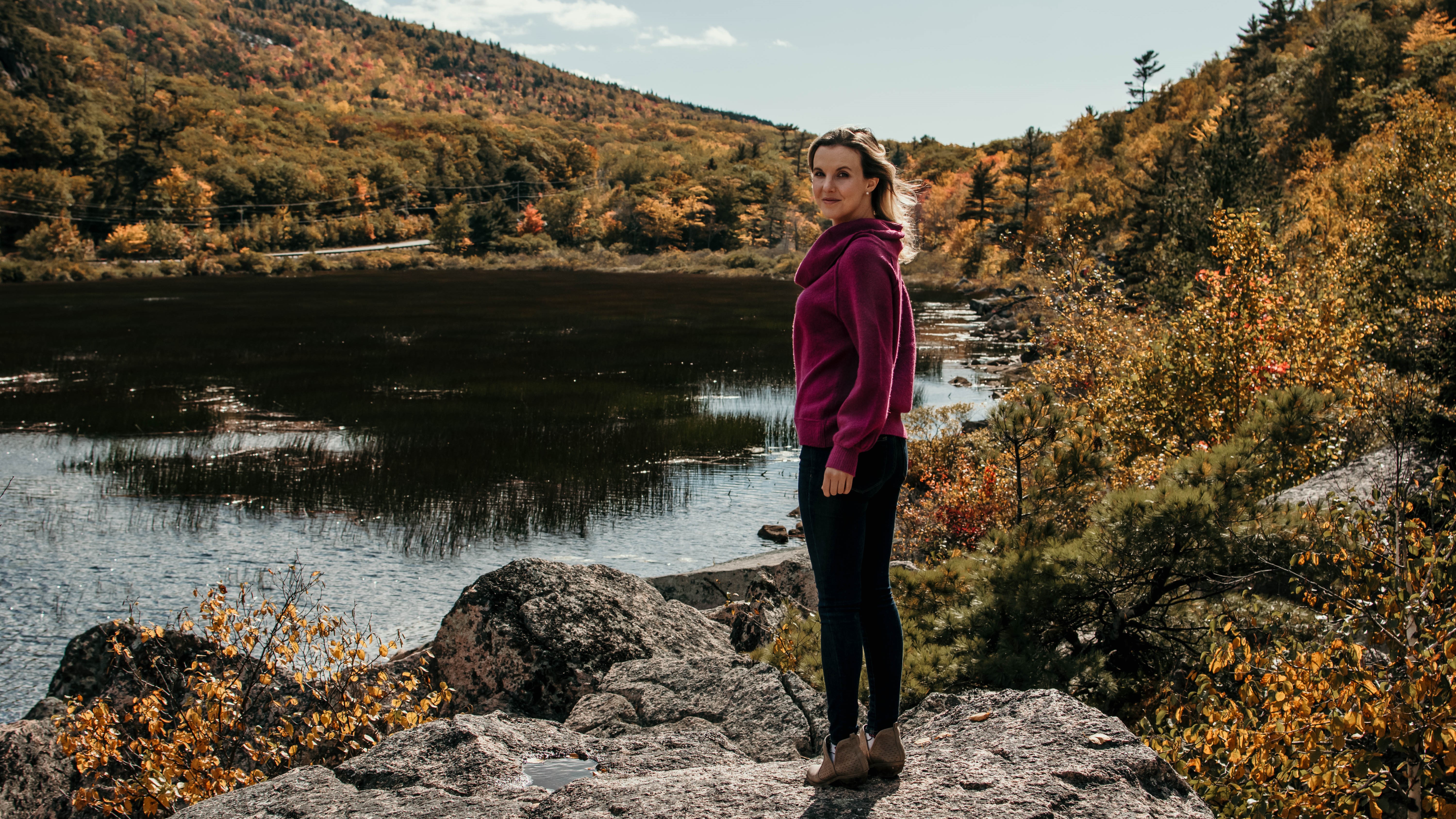
Though it’s often overlooked thanks to more famous nearby trails like the Long Trail and the AT, the New England Trail takes you through some of the prettiest countryside in the region, traveling along the Metacomet traprock ridgeline from the Long Island sound to the forested region of northern Massachusetts, near the border with Vermont. Though it doesn’t share the same infrastructure as the AT, it takes you through classic New England landscape: rolling farmland, historic towns, mountains, forests and waterfalls.
Fun fact: Hanging Hills Brewing Company’s Old New England Trail IPA is named for the NET.
North Country Trail
- Length: 4,600 miles
- Where is it? North Dakota, Minnesota, Wisconsin, Michigan, Ohio, Pennsylvania, New York, Vermont
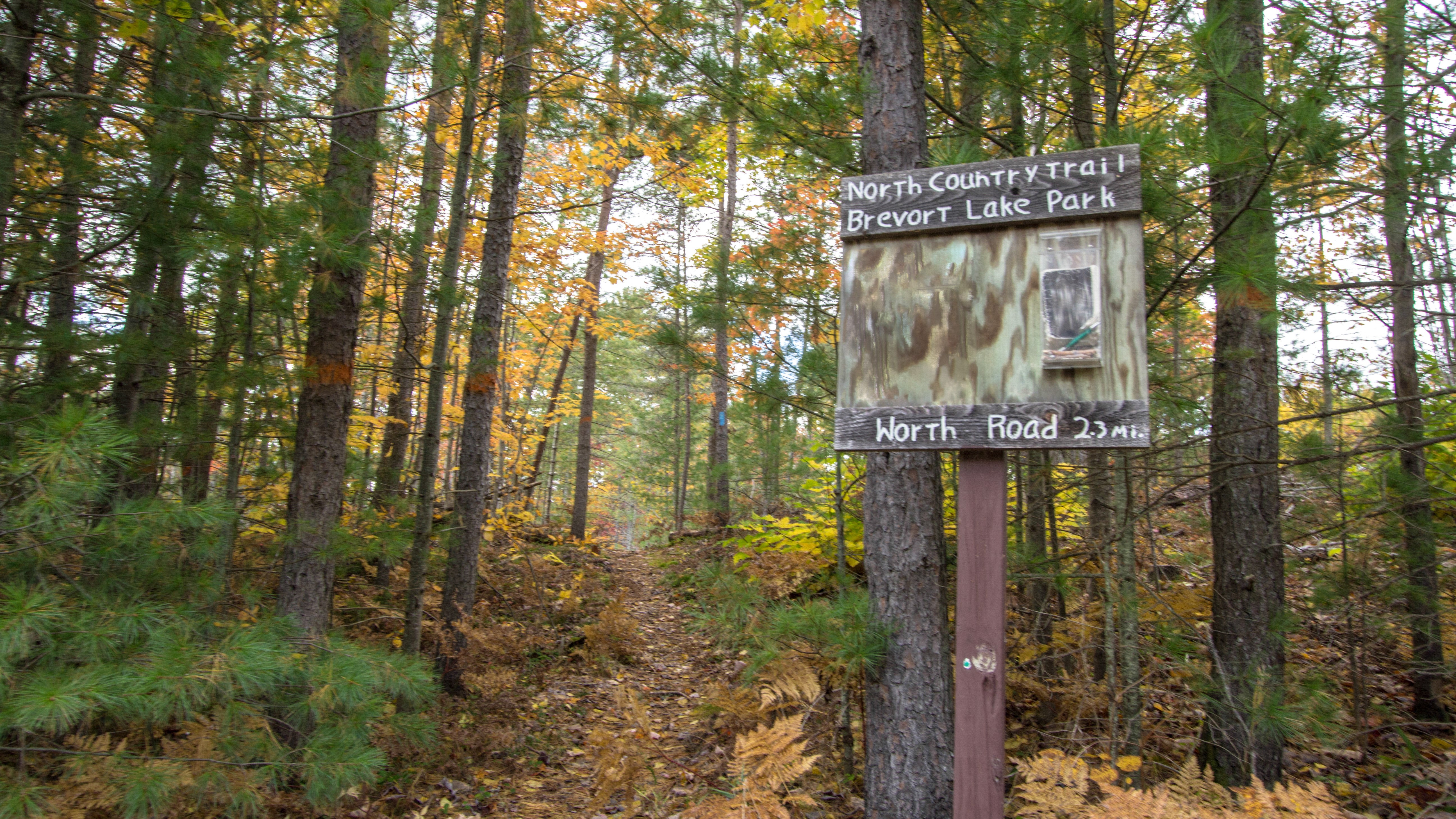
Unlike the majority of Scenic Trails which travel on a north/south axis, this trail stays firmly in the north country, and journeys from North Dakota to Vermont, celebrating the glacial terrain, streams and valleys so beloved by residents of northern states. The North Country Trail traverses through more than 160 public lands, including 10 National Forests, four National Park Service sites, and over 100 state parks and forests. Along the way, it weaves along the shores of three of the Great Lakes, large cities, vast prairies and takes you through the famous Adirondack mountains.
Fun fact: Less than 20 people are known to have walked the entire length of this protracted pathway.
Pacific Crest Trail
- Length: 2,650 miles
- Where is it? California, Oregon, Washington
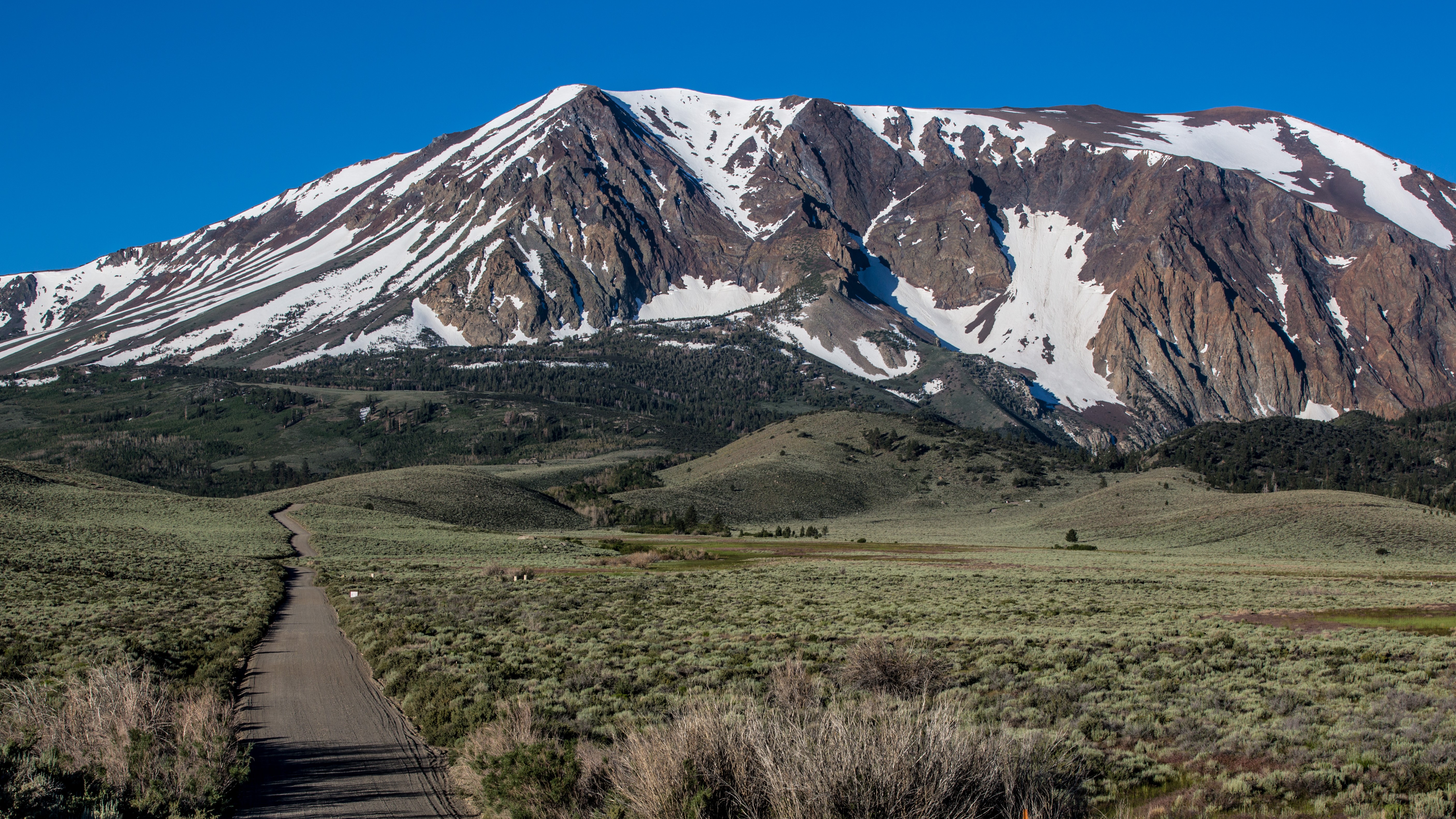
The Pacific Crest Trail is a 2,650 mile long hiking and equestrian trail that roughly follows the Cascade and Sierra Nevada mountains near the west coast of the U.S. Traveling north, the trail spans the entire length of the U.S. from Mexico to Canada and takes hikers through California, Oregon and Washington. The official start of the PCT is a California border town called Campo and its terminus is Manning Park in British Columbia. Though the PCT is near sea level in parts, much of it is at high altitude with its highest point being Forester Pass near Mount Whitney at 13,180ft. Hikers on the PCT are exposed to true topographical extremes, from the rugged deserts of California to the lush fir forests of the Pacific Northwest, and from the glacial erosion that carved the Sierra Nevadas to the volcanic peaks of the Cascades. Together with the Appalachian Trail on the east coast and the Continental Divide Trail in the Rockies, the PCT forms part of the Triple Crown of Hiking.
Fun fact: The PCT passes through seven National Parks including Sequoia, Kings Canyon, and Yosemite.
Pacific Northwest Trail
- Length: 1,200 miles
- Where is it? Idaho, Montana, Washington
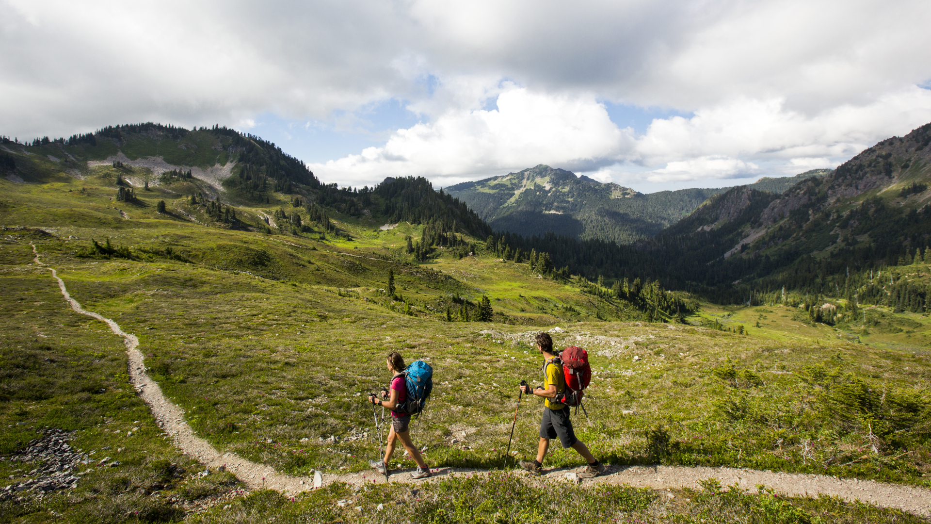
The very name of this trail should signal to you that it guides you through some of the most outstanding mountain terrain in the country and it does not disappoint. Travelling west, you’ll begin near the border with Canada and hike through idyllic North Cascades National Park before traveling down through the Puget Sound, and through Olympic National Park to the Pacific Ocean – truly hard to beat in terms of scenery!
Fun fact: Thru-hikers will travel across Cathedral Pass in Washington, the highest point of the PNT, which is located in the Pasayten Wilderness, where you can walk for 160 miles without encountering a road.
Potomac Heritage Trail
- Length: 710 miles
- Where is it? Washington DC, Maryland, Pennsylvania, Virginia
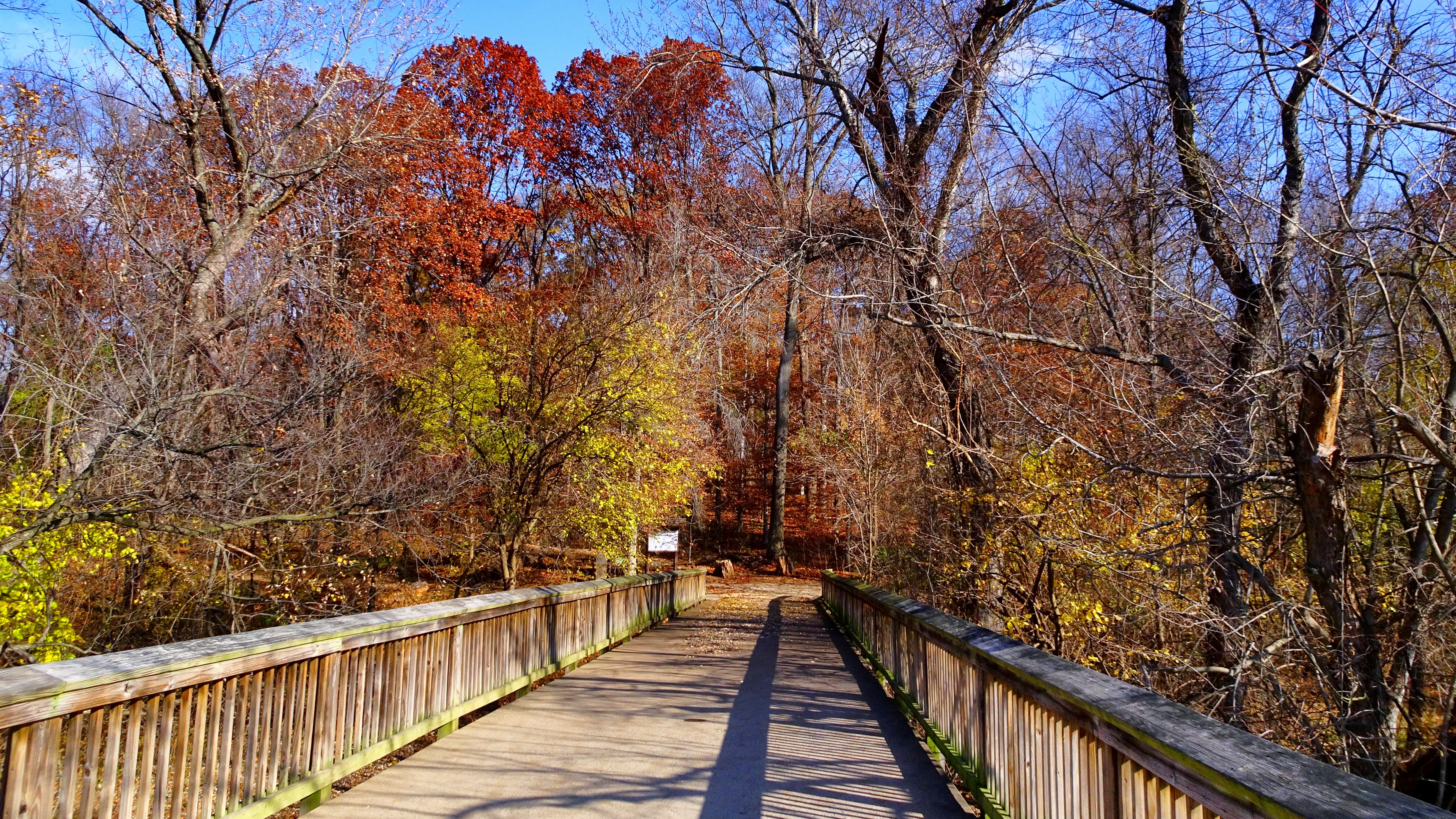
Follow the trajectory of the Potomac River and experience history as well as nature. This is a more informal trail connecting various other trails and historic sites that follows a watershed of great importance to the forming of the United States. Hikers can explore sections around the Potomac River as it flows to the Atlantic, the rugged Alleghenies, Harper’s Ferry and the Chesapeake Bay for some of the most iconic landscapes and landmarks in the country. Expect bluffs, gorges, waterfalls and historic canals.
Fun fact: The PHT includes parts of the Underground Railroad, which carried escaped slaves from the South as they fled to the North across the Potomac River and paths that were explored by George Washington.
Julia Clarke is a staff writer for Advnture.com and the author of the book Restorative Yoga for Beginners. She loves to explore mountains on foot, bike, skis and belay and then recover on the the yoga mat. Julia graduated with a degree in journalism in 2004 and spent eight years working as a radio presenter in Kansas City, Vermont, Boston and New York City before discovering the joys of the Rocky Mountains. She then detoured west to Colorado and enjoyed 11 years teaching yoga in Vail before returning to her hometown of Glasgow, Scotland in 2020 to focus on family and writing.

