My Favourite Run: the Dumgoyne Hill loop
This trail run near Glasgow offers a variety of terrain, a rewarding push up a landmark hill in the Campsie Fells, superb panoramic views and then a fast descent
The Dumgoyne Hill Loop from Strathblane
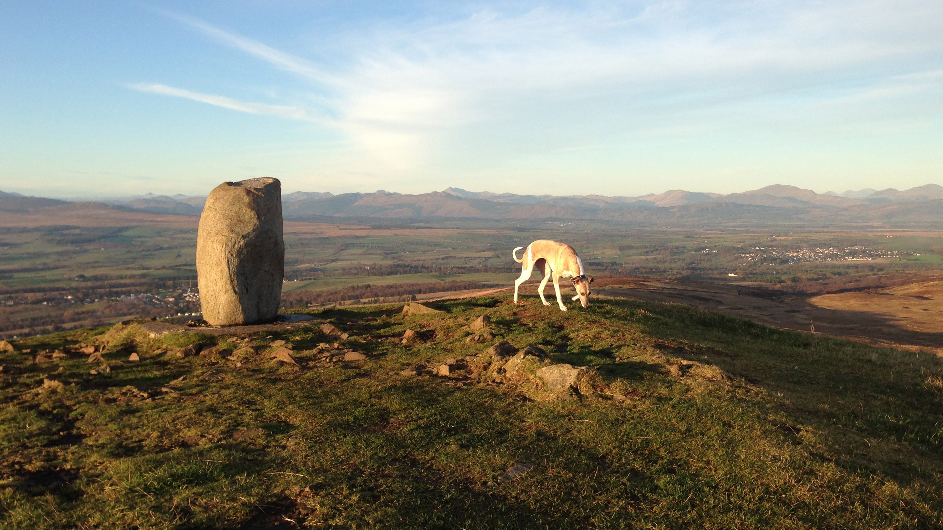
In the latest edition of our My Favourite Run series, Advnture contributor Fiona Russell describes a trail route in the Campsie Fells north of Glasgow, which takes in a landmark hill, and offers the rewards of fantastic views including Loch Lomond and the mountains of the southern Scottish Highlands.
The route
- Start/finish: Blanefield, Stirlingshire spaces just below
- Distance: 6.2 miles / 10km
- Elevation gain: 1255ft / 383m
- Difficulty: Moderate
- Duration: 1.5-2 hours
The run starts in Blanefield, north of Scotland’s largest city of Glasgow and in the region of Stirlingshire. There are plenty of parking options in the village and some limited spots just below St Kessog's Church, on Campsie Dene Road, where this run route begins.
St first, you run a singletrack tarmac road that serves some grand houses either side. Soon the tarmac turns two gravel track and heads trough a series of farm gates. If you take your dog make sure it’s on lead because there are often sheep and cattle around.
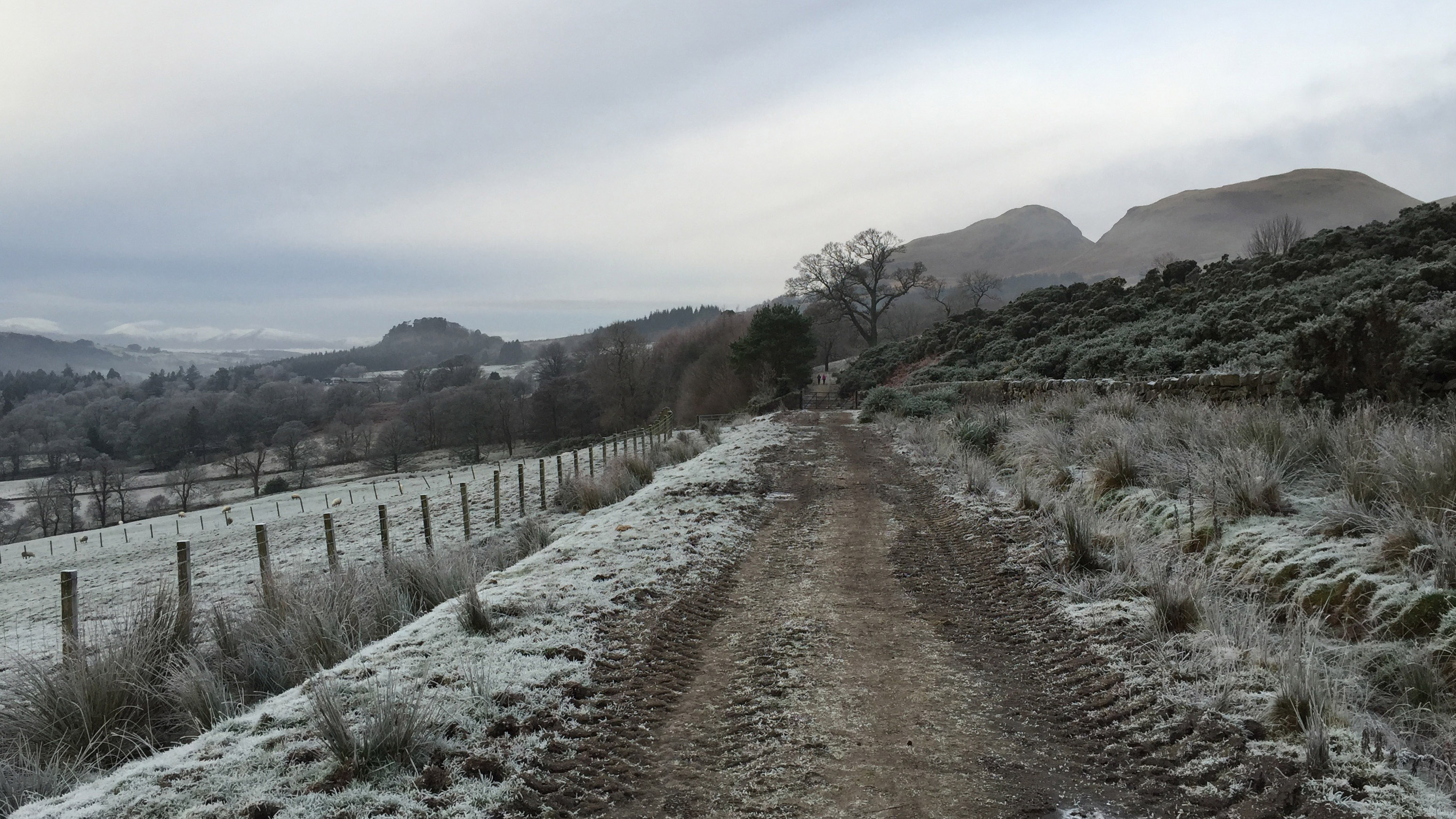
The gravel track – known as the Pipe Track – climbs more gently and heads along the foot of the Campsie hills to the north. The Pipe Track is so called because it follows the route (underground) of an aqueduct that feeds drinking water from Loch Katrine further north to reservoirs near Glasgow.
After a couple of kilometres, look out for a silver farm gate and a wooden kissing gate going north (your right hand side). This is just before a black farm gate across the track. It is marked as Cantywheery on the map.
Go through the kissing gate and continue on to a hill path. It’s easy to follow but can be muddy in places after periods of wet weather. Trail running shoes with aggressive lugs work well in these kind of conditions.
After waterfalls and at a Y-junction in the path, take the left-hand path to traverse at a higher contour of around 250m to 260m. The path undulates but still continues to climb over more open hillside and moorland.
Advnture Newsletter
All the latest inspiration, tips and guides to help you plan your next Advnture!
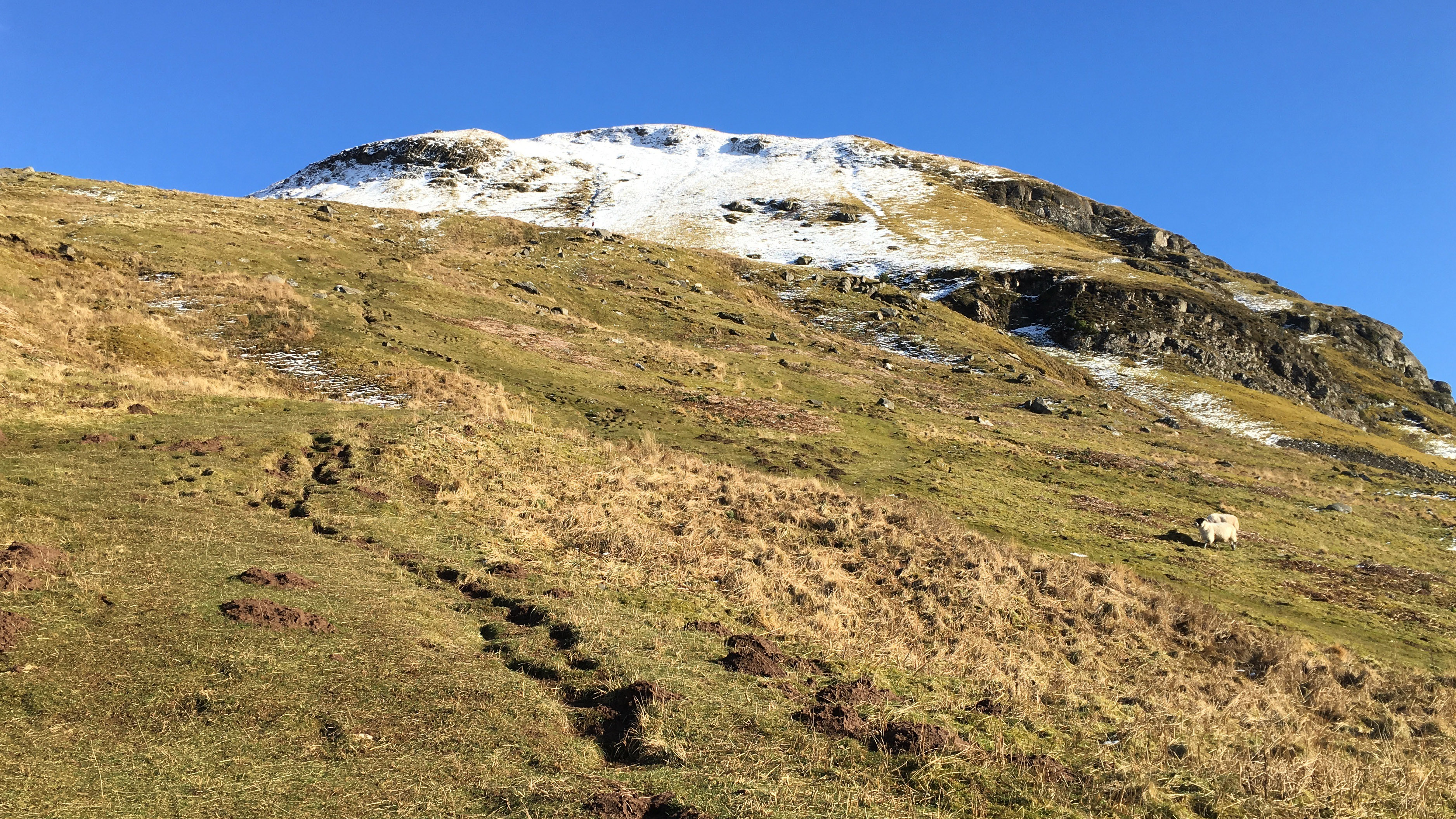
The section to the summit of Dumgoyne starts from an elevation of around 270m and climbs steeply to a high point of 427m.
You can follow a similar path for the first part of the descent, but keep going in a westerly direction. There are several alternative routes that have been created by many hundreds of walkers and runners, and your main aim is to descend steeply westwards to meet the Pipe Track at the foot of the hills again.
Below Dumgoyne hill, you’ll cross a stone wall on a stile, and run on to a more gently descending grassy slope to reach the Pipe Track.
Turn left (south) and run once again on the track to descend back to your outward route. While generally downhill, there are some undulations, as you head back to the start point in Blanefield.
The Dumgoyne Hill loop: why I love it
I lived in the Glasgow area for more than 20 years before moving to the Highlands recently and the easy accessibility to countryside and hills, including the Campsie Fells, never failed to amaze me for all that time.
Dumgoyne is a well-known landmark in a hill range called the Campsie Fells. The hills stretch west to east from Dumgoyne to Denny Muir, with nearby villages including Strathblane, Blanefield and Lennoxtown to the south; Killearn in the west; and Fintry to the north. Earl’s Seat is the highest point of the Campsie Fells at 578m (1896ft) above sea level, while Dumgoyne reaches a high of 427m.
A whisky producer, Glengoyne Distillery, sits at the base of Dumgoyne on the A81.
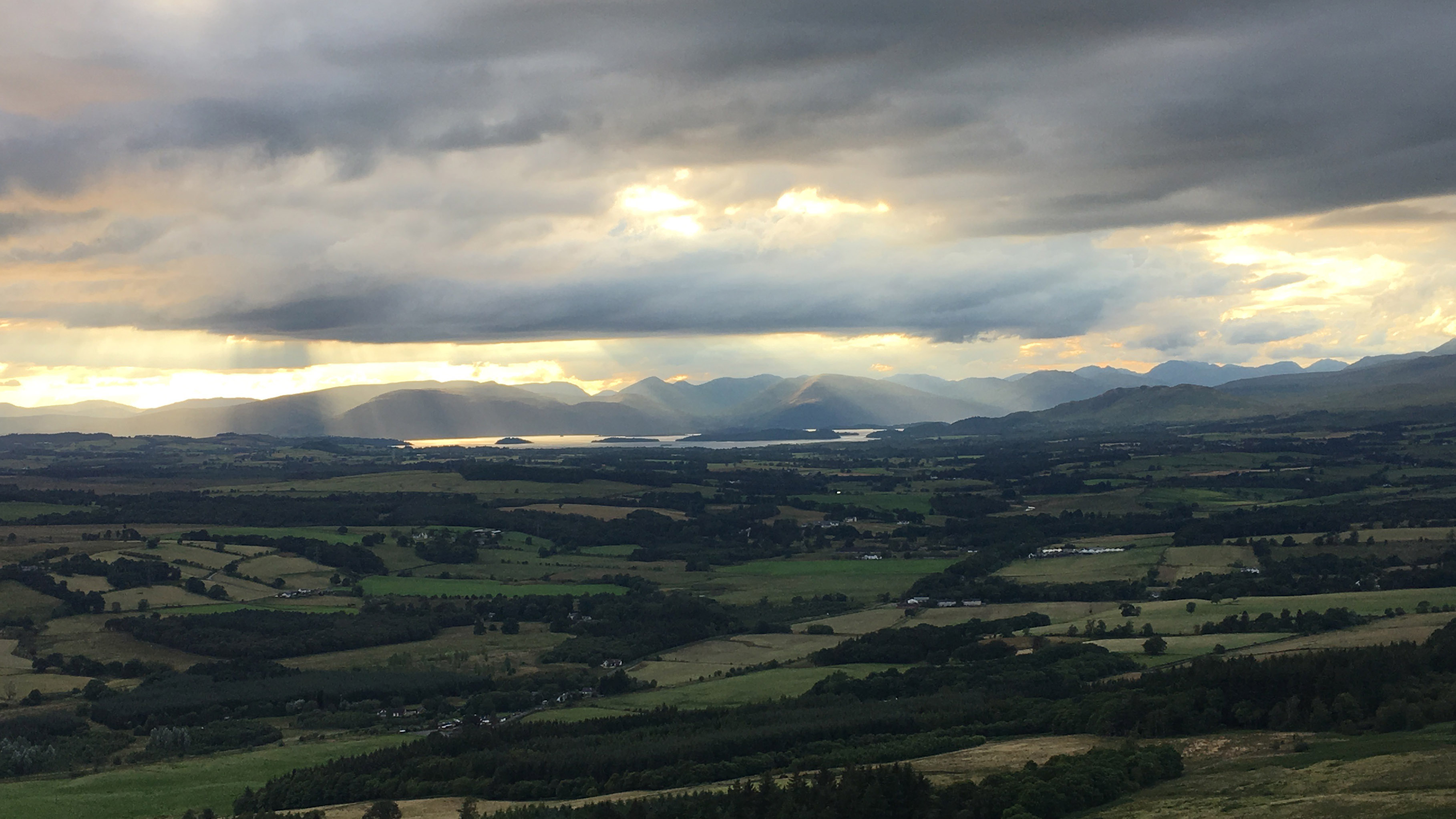
Although it’s a stiff climb to the summit, it’s over fairly quickly and the views on a clear day are superb. You’ll see Loch Lomond to the north, with its myriad small islands, as well as the mountains of the southern Highlands. If you’re lucky with the weather, you may spot Ben Lomond, the most southerly of the Scottish mountains known as Munros.
The run back down the hill is swift and fun, although it’s a good idea to avoid the steepest paths because they can be very slippery.
I love some of the fascinating facts associated with the Campsies. The name of the fells is taken from one of the individual hills in the range, called Campsie, which means “crooked fairy hill”.
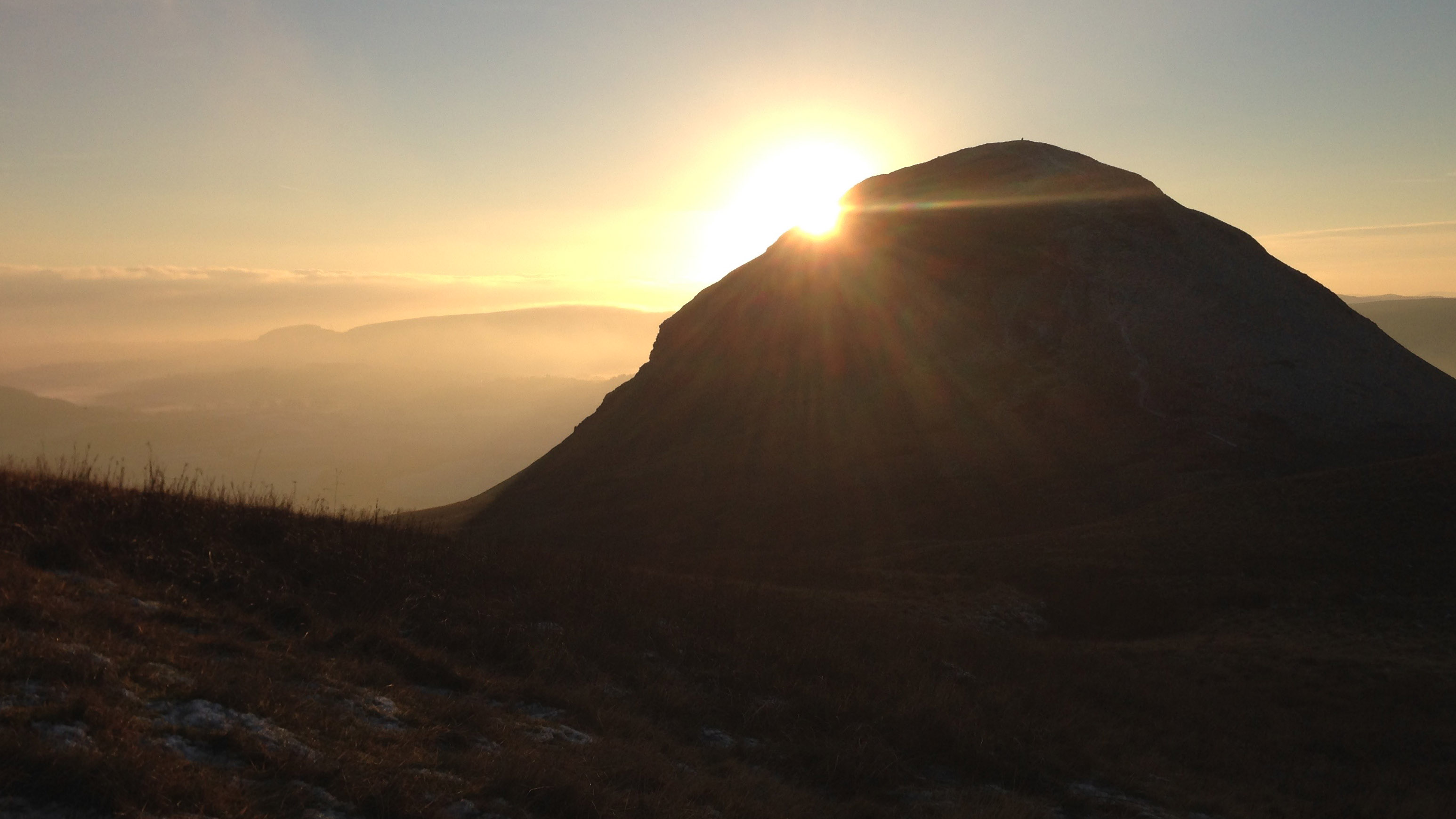
The Campsies are also recorded as the birthplace of Scottish skiing after William W Naismith, from Glasgow, skied the area and became the first person to ski in Scotland in March 1892.
If you remember the Monty Python film The Meaning of Life, you’ll be interested to know it used the Campsies as a location. The scene of an Anglo-Zulu War of 1879, which actually took place in the South African province of Natal, was filmed in the Campsie Fells.
Highlight: Dumgoyne
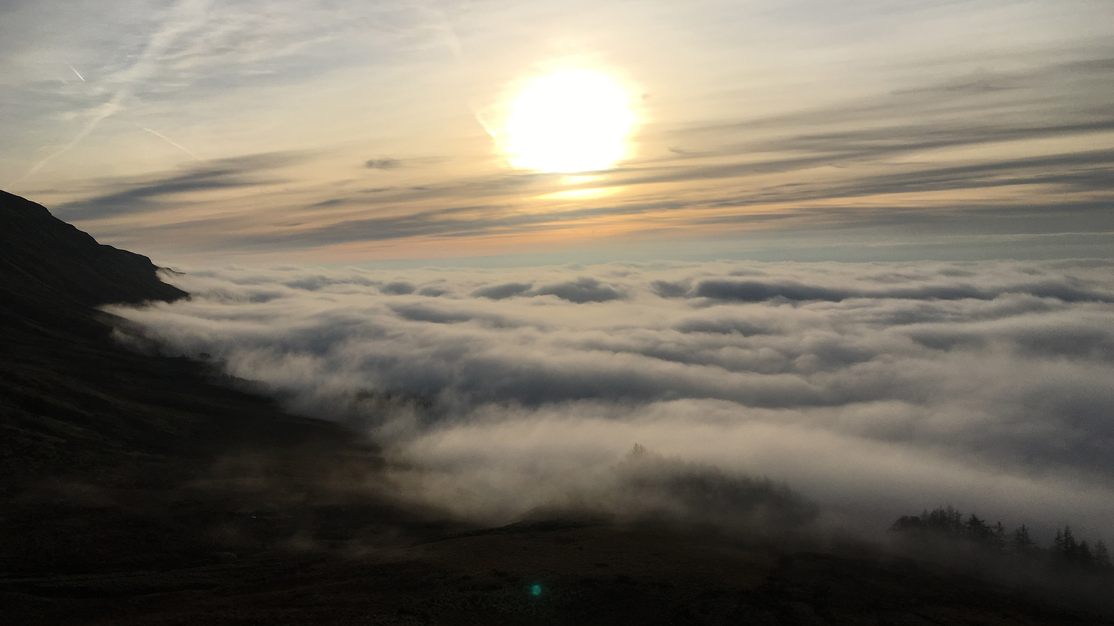
Dumgoyne almost always provides amazing views, regardless of the conditions and seasons, but one very memorable occasion, when I ran with friends through mist and cloud on the Pipe Track and the lower slopes of Dumgoyne, revealed a stunning temperature inversion as we ascended the hill. We popped out above the clouds and into bright sunshine where we could see many hill and mountain summits, also above the clouds. The vistas were truly sublime.
My Favourite Run Collection
To view the other runs in the My Favourite Run series on komoot, click on the Collection below...
You can also check out our My Favourite Hike series.
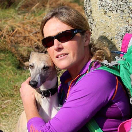
Fiona Russell is a widely published adventure journalist and blogger, better known as Fiona Outdoors. She is based in Scotland and is an all-round outdoors enthusiast with favorite activities including trail running, mountain walking, mountain biking, road cycling, triathlon and skiing (both downhill and backcountry). Aside from her own adventures, Fiona's biggest aim is to inspire others to enjoy getting outside and exploring, especially through her writing. She is also rarely seen without a running skort! Find out more at Fiona Outdoors.

