Map and compass vs GPS: which serves you best when exploring the wilderness?
Has GPS killed off the ancient art of map-and-compass navigation, or will the old-fashioned orienteers have the last laugh?

As someone who is a lover of modern technical gear, as well as tried-and-tested tools for navigation, it’s a difficult decision being asked to choose between a map and compass and a GPS unit.
To help make the choice, I’m going to consider a few of the pros and cons for each, starting with the long-established map and compass.
Old school
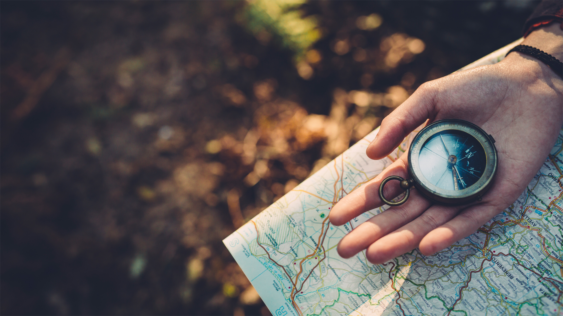
One of the best bits of kit you can pack for an adventure is an up-to-date map, but of course you need the basic knowledge of how to read it. Using a detailed map alongside a compass is a great way to explore a new environment or to revisit an old one. The tactile act of orienting a map and compass to the terrain encourages you to look around, pay attention to your journey and make observation in regards to distance and time – all of which automatically means you take in details that you might otherwise miss, if you were using a GPS system.
Like many people, I think there is a certain level of trust that comes with a printed map and a supporting compass: they will never run out of power; they’re as useful in a valley as they are at the top of a mountain; and if you invest in a waterproof case, the weather conditions pose little risk to your materials.
When you hold a printed map and a magnetic compass, you’re hands-on invested in a very personal experience, tapping into tools and skills that have literally been used by explorers for centuries, and the mental exercise of navigating like this can help form long-lasting memories of a journey.
However, it is only fair in this comparison to acknowledge that a compass, despite its well-earned reputation as a proven and trusted tool for navigation, is not completely failsafe either. Although it’s relatively rare, like any device they can fail as a result of conditions or if they’re not looked after properly. Keeping a compass too close to mobile phones, power lines or other electronic or magnetized gizmos can cause it to suffer reversed polarity, which can lead to false readings.
- How to use a compass: learn this essential hiking skill
- How to read a map: never get lost on a hike again
- Trail tech: the latest gear to help you find your way
- Why learn navigation? We tell you the reasons
Ever evolving tech
In contrast to the hands-on, mentally demanding approach using a compass encourages, once they have selected a destination, users of smart tech such as GPS are typically given a set of 'step-by-step' instructions, and the process then requires little additional input.
Advnture Newsletter
All the latest inspiration, tips and guides to help you plan your next Advnture!
Again, this is not flawless. A GPS unit will tell you approximately how long it ‘should’ take to cover a given distance, but this can sometimes be inaccurate, as the device cannot always take the conditions underfoot into account. This could lead to the user feeling a sense of pressure at the very time they should be feeling a sense of relaxation.
It can also create a sense detachment between the walker and the wilderness they’re passing through – similar to when you punch a destination into your car Sat Nav and then take absolutely no notice of road signs and the places you’re passing through.
Even the latest devices equipped with extra features – such as the ones that allow the user to share a route, add notes or select the option to ‘view the path ahead’ – can create distance between the user and the experience of being in the outdoors.
At this stage, it may sound like I’m favoring the printed map, but let’s look at GPS units. They’ve come a long way since the release of the first devices back in the early 1980s – and particularly since accurate Global Positioning System (GPS) technology was made available to the public by the US government (which still controls it – and can, in fact, turn it off in certain areas if they so desire), when selective availability was lifted in 2000.
On modern units you can obviously still do the basics, like selecting a destination with any number of waypoints along the way, working out your current location and the distance you have traveled, but now they are so much smarter and offer an awful lot more too.
The latest GPS units have a much longer battery life. You can collect and share data along your chosen route, which means you can receive up-to-the-minute accurate updates about changes in everything from path closures to detailed weather reports – something a printed map could never offer. There’s location sharing capability, and we now have the option to download a seemingly endless number of apps with countless more functions.
| Header Cell - Column 0 | Map and compass | GPS |
|---|---|---|
| Usability | Requires training and skill | No training or skill required |
| Reliability | Works wherever you are | Can run out of battery or service |
| Accuracy | Highly reliable, as long as your map is up to date and you take care of your compass | Can give inaccurate data |
| Connection to nature | Requires you to look at your surroundings | Can cause you to detach from your surroundings |
Verdict
In short, I still love a traditional map and compass, and I also really enjoy the functionality of a good GPS system. Basically, I don’t think you should have to choose between the two. I think they compliment each other best when they are used in conjunction with one another and not in an ‘either or’ scenario.
Dwayne came to the UK aged six and spent his formative years in inner-city London where, wrapped up in the world of street gangs, he became a victim of both knife and gun crime. After a life-threatening incident, Dwayne decided to change his life and reconnect to nature and the outdoors, which he’d enjoyed in his early life in the forests and hilltops of rural Jamaica. In 2010, Dwayne successfully set out to become the first black Briton to walk over 400 miles to the magnetic North Pole. Ever since he has lived a life of adventure and exploration, inspiring young people nationwide to explore the ‘great outdoors’ which has earned him the City of London’s highest honour, the Freedom of the City.

