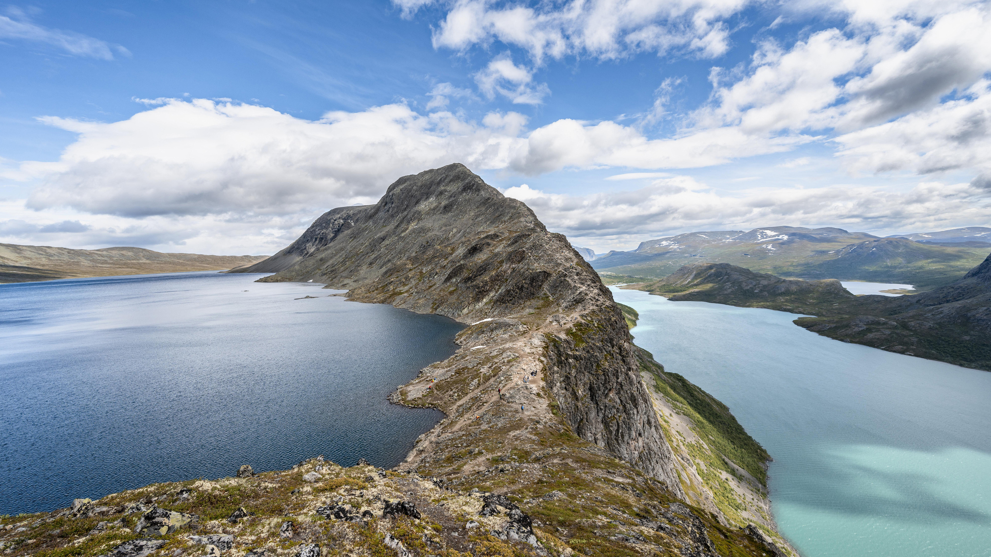
The Continental Divide Trail: America’s most remote long trail
The Continental Divide Trail serves up genuine solitude in the Rocky Mountains, for those foot soldiers brave enough to undertake its rugged challenge
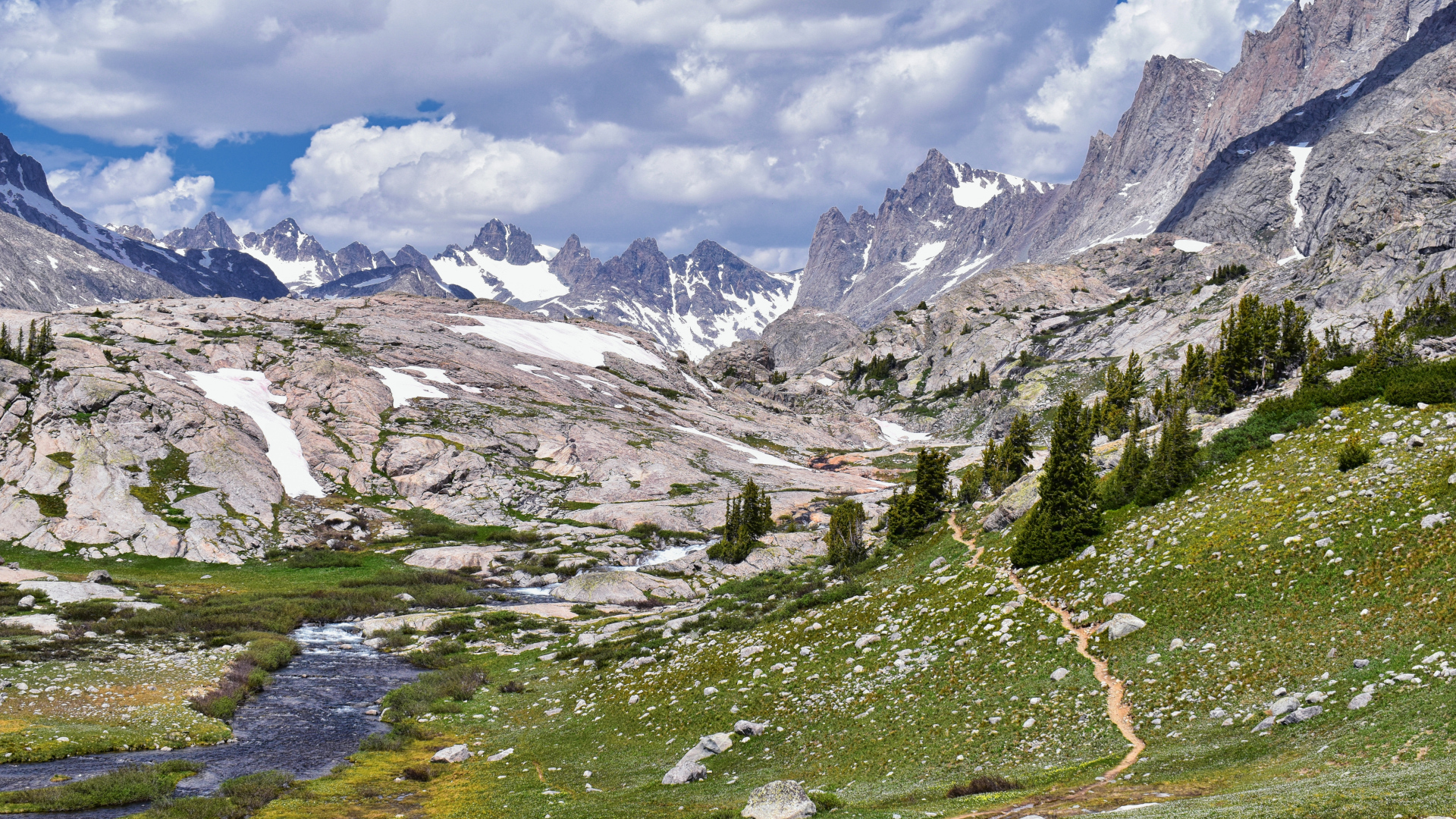
America’s best known Scenic Trails, the Appalachian Trail and Pacific Crest Trail, are known as much for their natural beauty as the sheer volume of hikers who attempt them each year, making it unusual to spend a single night alone during a five-month thru-hike. But did you know that there is another, even longer footpath in the US that is so remote and challenging that only a handful of people attempt it each year? The Continental Divide Trail serves up genuine solitude in the Rocky Mountains, for those foot soldiers brave enough to undertake its rugged challenge.
What is the Continental Divide Trail?
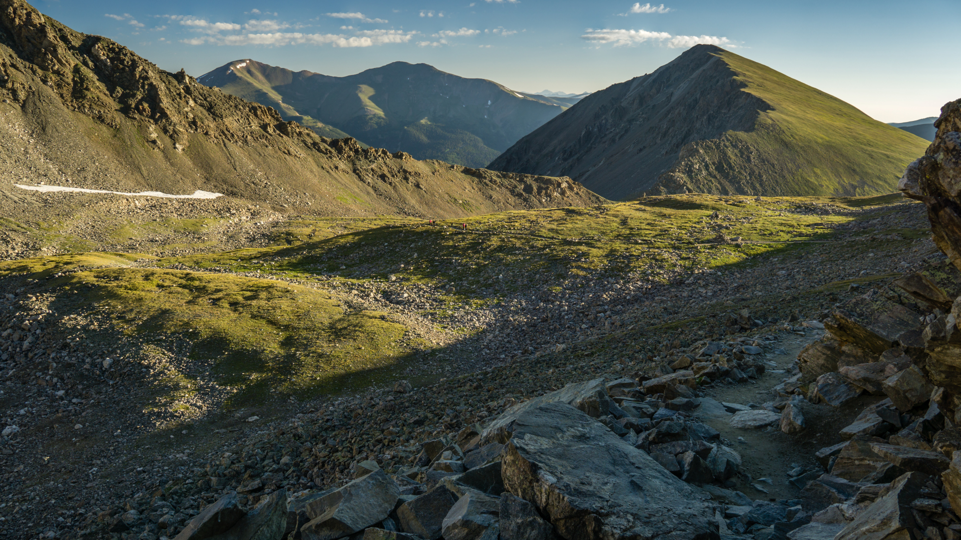
The Continental Divide Trail, or CDT, is a United States National Scenic Trail that follows the Continental Divide, which separates the watershed that divides river drainage into the Pacific and Atlantic oceans in the US. There are 11 National Scenic Trails in the US, consisting of continuous non-motorized long-distance trails that were established to provide outdoor recreation opportunities and preserve areas of natural landscape.
The CDT winds from the US border with Alberta, Canada in the north all the way down to the southern border with Chihuahua, Mexico. It crosses five states on the way: Montana, Idaho, Wyoming, Colorado and New Mexico.
The CDT is about 94% completed and consists of a combination of existing trails and small roads. Because it is still a work in progress, its length varies as the route is finalized, meaning it can be anywhere from 2,700 to 3,150 miles, making it one of the largest conservation efforts in the country. As of writing, there are only 164 miles remaining to be protected.
The CDT is largely a hiking trail, with mountain biking and horseback riding permitted in some areas. Together with the AT and PCT, the CDT forms part of the Triple Crown of hiking in the US.
The origins of the Continental Divide Trail
The CDT is relatively younger than its counterparts the AT and PCT, and it was, in fact, their establishment that inspired its proposal. The first section of the proposed trail was laid by the Rocky Mountain Trails Association in Colorado in 1962 and the trail was established by Congress in 1978.
The trail has been slow to complete and hiking numbers have remained small compared to other Scenic Trails. In 2012 Continental Divide Trail Coalition was established to oversee route planning and maintenance and annual numbers of thru-hikers saw a relative uptick then from the tens to the hundreds.
Advnture Newsletter
All the latest inspiration, tips and guides to help you plan your next Advnture!
How long does it take to walk the Continental Divide Trail?
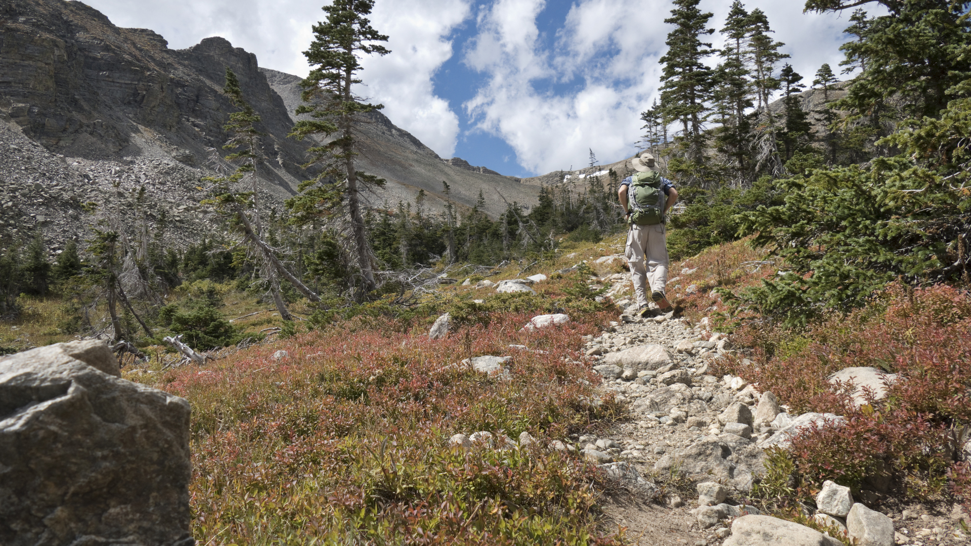
The CDT is considered the most challenging of all the Scenic Trails in the US. It’s also the most remote, and the highest – the lowest point on the entire trail is in New Mexico at 4,189ft above sea level. Only about 150 people per year are thought to complete the thru-hike, compared to about 750 on the Appalachian Trail.
The average time to thru-hike the CDT is about six months and most people hike south to north. If you’re considering it, you’ll want to start by April before it gets too hot in New Mexico, and reach Canada by September before the snow hits.
Do you need permits to walk the Continental Divide Trail?
Though there is no single permit to hike the CDT, permits are required to cross certain areas including National Parks, some state parks and wilderness areas and Indian reservations.
How much does it cost to walk the Continental Divide Trail?

Permits are a drop in the bucket when it comes to the costs of thru-hiking the CDT. Most thru-hikers report spending between $5000 and $8000 on their journey on food, supplies, gear replacements and lodging and that doesn’t include initial gear. You’re likely to burn through several pairs of hiking boots on this long journey.
What is so special about the Continental Divide Trail?
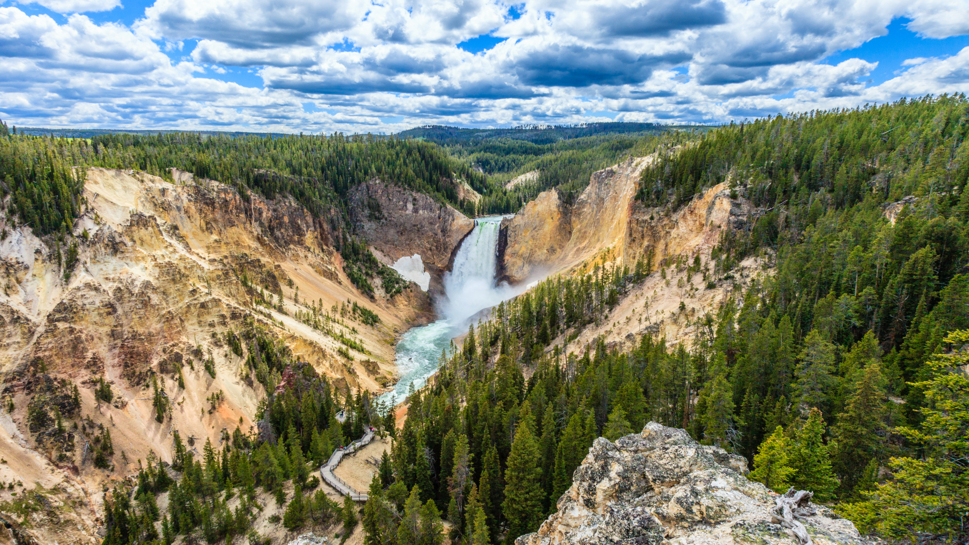
The CDT spans diverse landscapes from tundra to desert, and because of its Scenic Trail status, the ecosystems within those areas are protected. It takes hikers through Glacier, Rocky Mountain and Yellowstone National Parks, and nearby many others, and over the summit of Grays Peak, a Colorado 14er.
In addition to being a hiking trail, it also serves as a living interactive museum of the American West, allowing hikers to learn more about indigenous people in Blackfeet Indian Reservation and follow in the footsteps of explorers Lewis and Clark. And, for now at least, it offers a rare opportunity to experience the wilderness in splendid isolation.
Julia Clarke is a staff writer for Advnture.com and the author of the book Restorative Yoga for Beginners. She loves to explore mountains on foot, bike, skis and belay and then recover on the the yoga mat. Julia graduated with a degree in journalism in 2004 and spent eight years working as a radio presenter in Kansas City, Vermont, Boston and New York City before discovering the joys of the Rocky Mountains. She then detoured west to Colorado and enjoyed 11 years teaching yoga in Vail before returning to her hometown of Glasgow, Scotland in 2020 to focus on family and writing.

