The best hiking in Europe: 10 of the Old Continent’s most unmissable day hikes and thru-hikes
Unsure where to find the best hiking in Europe? Our selection of the best hiking trails on the “Old Continent” has you covered!
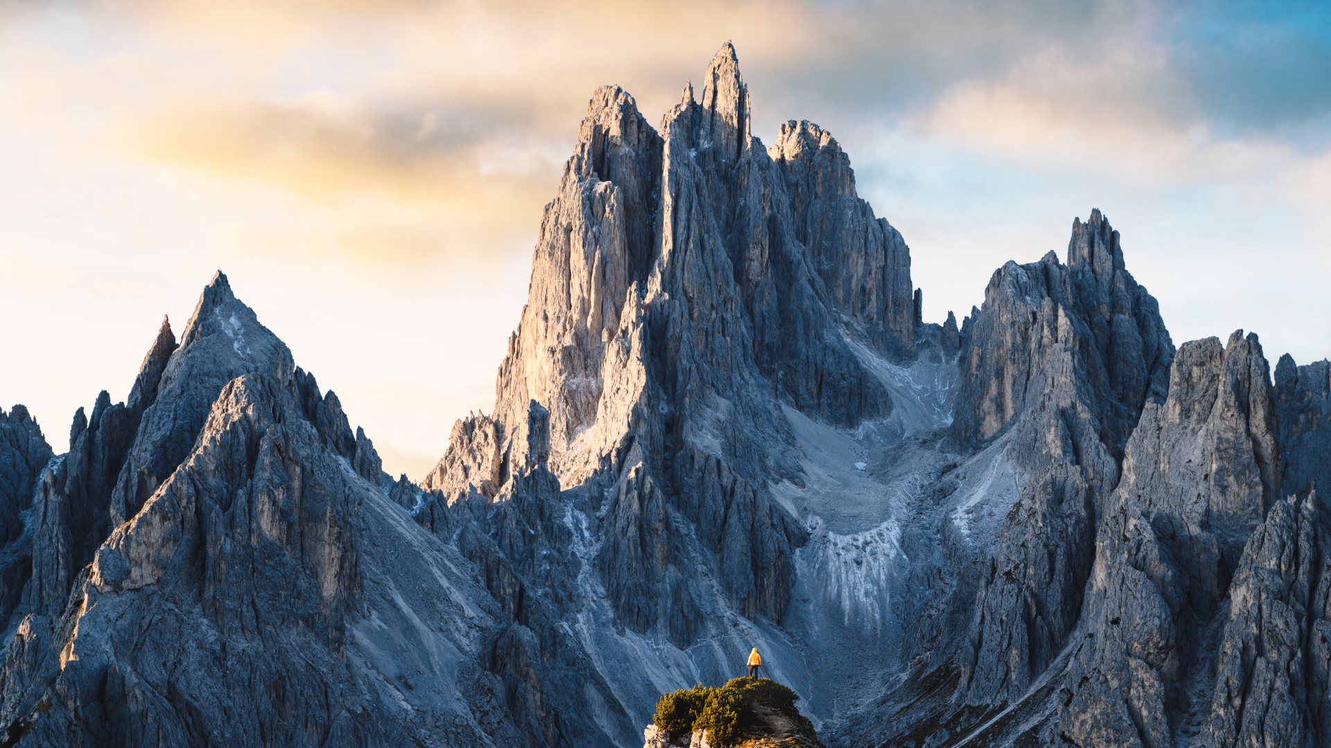
Drawing up a list of a mere 10 of the best hiking trails in Europe was no easy task. After much quibbling, a few tiffs, and a bit of bartering, however, our team of writers and editors have agreed upon a selection of 5 thrilling day hikes and 5 multi-day epics that merit their place on the bucket list of every adventure-loving wanderer of the wilds.
The entries on our list are varied in form, ranging from shorter coastal hikes on some of the Mediterranean’s most exquisite stretches of coastline to week-long Odysseys through some of the continent’s gnarliest and most awe-inspiring alpine terrain. In short, there’s something for everyone!
The best hiking in Europe: the top 5 multi-day hikes
1. Alta Via 1
Location: Italy
Distance: 75 miles (120km)
Duration: 5-8 days
Difficulty: Moderate/strenuous
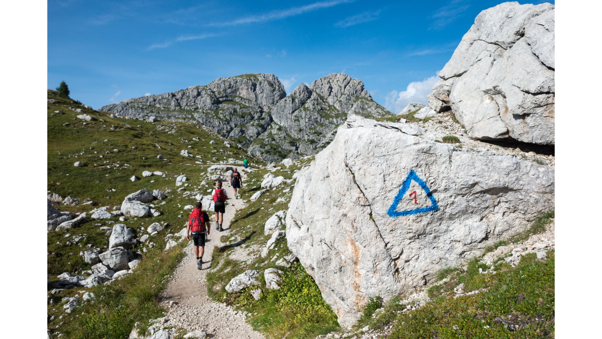
The Dolomites are, for the adventurously minded, the most resplendent jewel in Italy’s jewel-laden crown. A total of 10 Alta Via (“high way”) routes crisscross the range, but for our money the best of the bunch is the epic and peerlessly pretty original, Alta Via 1.
For the aesthetically inclined, this hike is nothing short of a smorgasbord, serving up reams of jaw-dropping scenery around every turn in the trail. Along the way, you’ll be treated to views of some of Italy’s most iconic, storied, and photogenic mountains, hike through dozens of incredibly quaint alpine meadows bedecked with colorful wildflowers, pass a handful of remnant historical sites from WWI’s Guerra Bianca (“White War”), and have the option of hopping onto a few easy via ferrata routes if you’re keen to up the stakes (and stoke levels!) even further.
At 75miles (120km) long and with almost 22,000 feet of total ascent, for this one you’ll need a pair of the best hiking boots, a backpack that’s a comfortable wear day after day, and calves of steel!
2. Tour du Mont Blanc
Location: France, Italy, and Switzerland
Distance: 170 kilometers (110 miles)
Duration: 7-11 days
Difficulty: Strenuous
Advnture Newsletter
All the latest inspiration, tips and guides to help you plan your next Advnture!
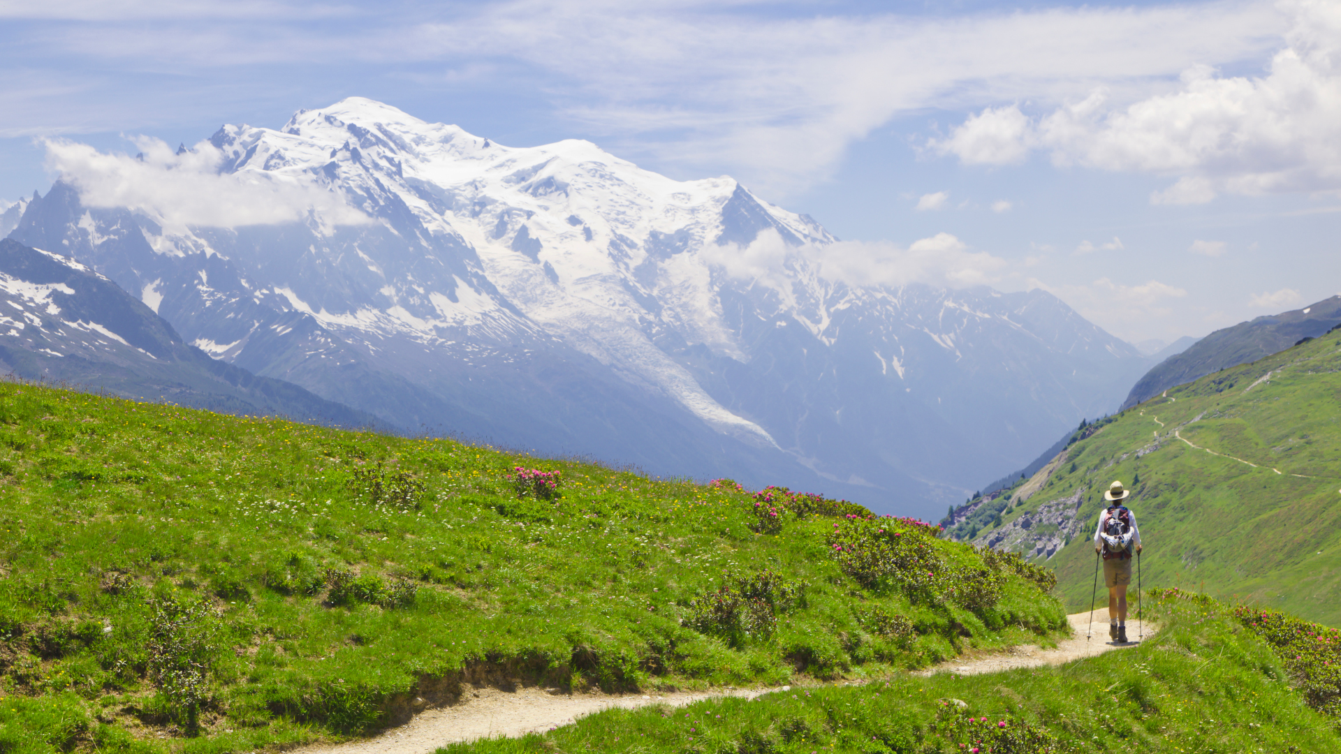
This classic hike is one of the most popular multi-day routes in all of Europe, and for decades has featured at the top of the tick lists of mountain-loving people everywhere. The “Tour” passes through some of the most idyllic mountainous terrain on the planet while circumnavigating the 4,808-meter Mont Blanc, the highest mountain in Western Europe. Along the route, you’ll hike through three countries (Italy, Switzerland, and France), put in nearly 10,000 meters of ascent, and enjoy views of majestic glaciers, exquisite alpine meadows, and some of Europe’s most iconic peaks, among them Grandes Jorasses, Aig d’Argentiere, Aid du Midi, and the Dru.
3. Laugavegurinn and Fimmvörðuhál
Location: Iceland
Distance: 48 miles (77km)
Duration: 3-4 days
Difficulty: Moderate to challenging
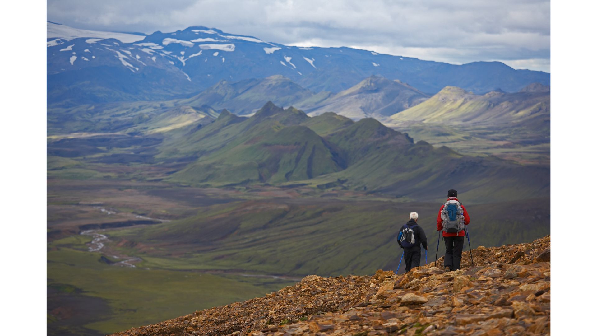
The Laugavegurinn trail is Iceland’s classic hut-to-hut trek, taking in everything for which the land of fire and ice is rightly famed – multi-colored mountains, glaciers, precipitous gorges, lava fields, mile upon mile of pristine wilderness, and a humungous volcano with an all but unpronounceable name – Eyjafjallajökull, which famously shut down all air travel in Europe for a short spell in 2010 after an eruption.
4. Selvaggio Blu
Location: Sardinia, Italy
Distance: 25 miles (40km)
Duration: 4 days
Difficulty: Challenging
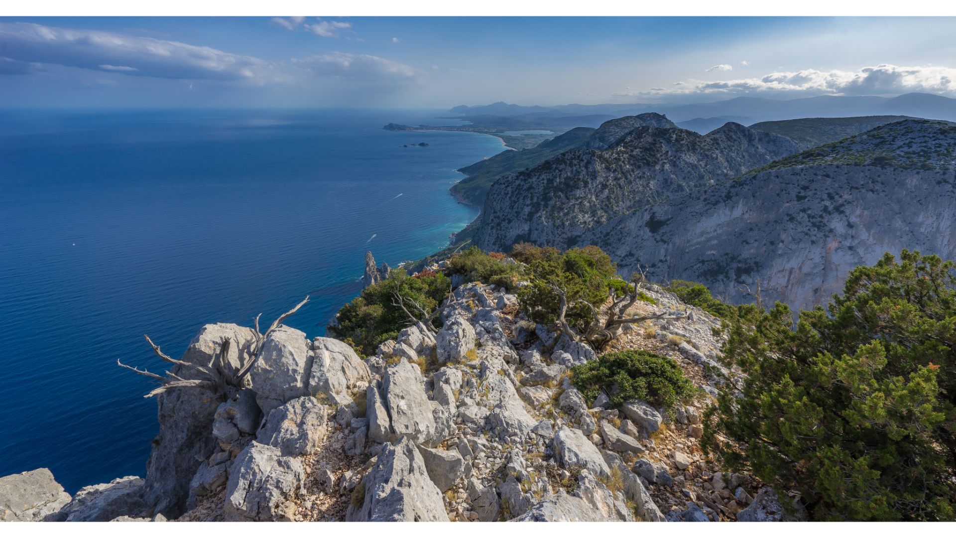
This little-known trail is one for hikers who enjoy a challenge, have a good head for heights, and are keen to explore the “path less traveled,” even if that involves complete disconnection from civilization (the only way off the route is back the way you came or by boat!), pant-filling descents, and the odd airy abseil over towering limestone cliffs.
The route traverses one of the wildest and most remote stretches of Sardinia’s eastern coastline between nightly stopovers on a sequence of utterly idyllic, unspoiled, and otherwise inaccessible beaches. For first-timers, we highly recommend enlisting the services of a local guide – the trail isn’t waymarked and route-finding is notoriously difficult in the latter stages of the route. If you choose to go it alone, come prepared to be fully self-sufficient for the duration, carrying a camping stove, gas/fuel (see: how much fuel to bring backpacking), tent, sleeping bag, a rope for the abseils (these are sometimes left in situ, but bring your own to be on the safe side!), and all other hiking essentials.
5. GR20
Location: Corsica, France
Distance: 112 miles (180 km)
Duration: 10-15 days
Difficulty: Challenging
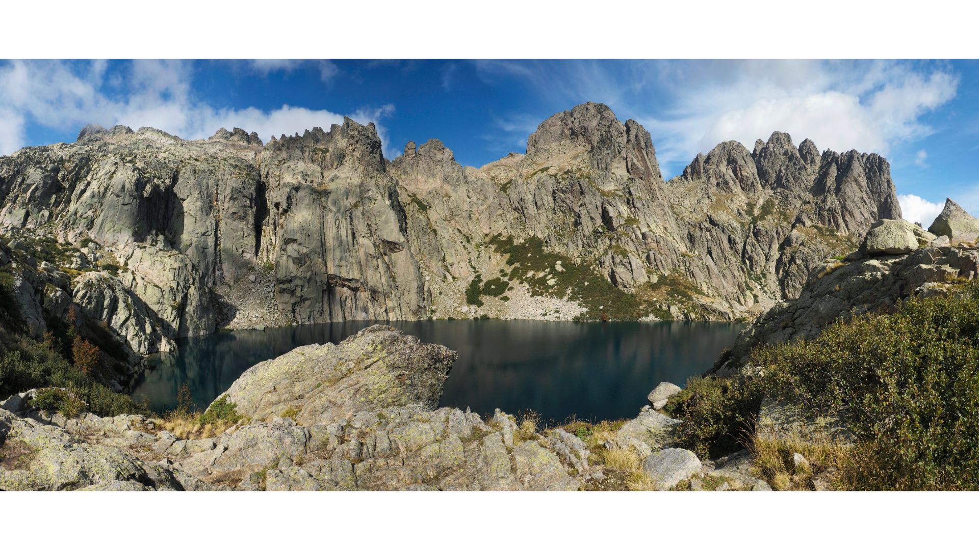
Corsica’s GR20 (Grande Randonnée 20) is renowned for being both one of Europe’s most beautiful treks and one of the toughest. The 112-mile trek traverses the mountainous center of the island from north to south, and along the way passes through some of the most rugged, wild, and challenging landscapes on the continent. On this route, hikers are regaled with uninterrupted views of towering granite peaks, turquoise lakes, and stunning seascapes. With almost 20,000 feet of ascent and more than a few steep, exposed scrambling sections (What is scrambling?), this one poses a true test of mettle for even the most experienced and trail-hardened hikers.
The best hiking trails in Europe: the top 5 day hikes
1. Sentiero Azzuro, Cinque Terre
Location: Liguria, Italy
Distance: 10 miles (16km)
Duration: 5-6 hours
Difficulty: Easy
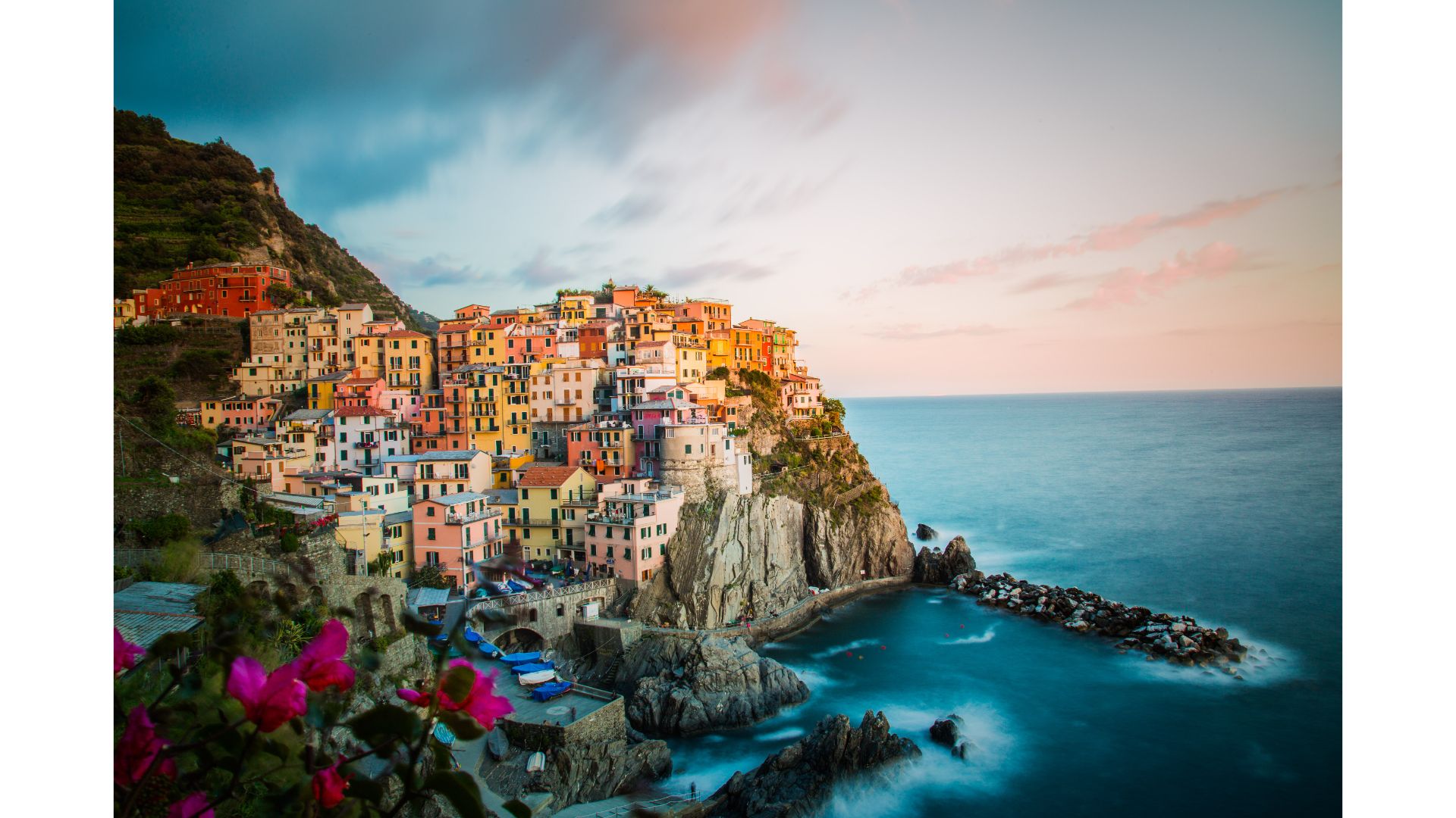
Flanking the coastline of the Italian Riviera between the idyllic coastal villages of Monterosso and Riomaggiore, the Sentiero Azzuro is the ideal hike for adventurers who like to combine their hiking with a little bit of culture, dreamy cuisine, a glass or two of wine, and the odd cool-down dip in some of the most majestic swimming spots the world over.
The trail passes through all five of the gobsmackingly pretty coastal towns from which the region takes its name – Monterosso al Mare, Vernazza, Corniglia, Manarola, Riomaggiore – and serves up a visual feast of delights around every turn in the trail, from dramatic limestone cliffs leering over the azure sea to leafy terraced vineyards and birds-eye views of those almost impossibly quaint and colorful coastal villages. While the Sentiero Azurro itself is easy going all the way, you can crank things up a notch (and escape the crowds) by venturing up any of the myriad connecting trails that feed off the main drag into the hills above.
2. Trolltunga
Location: Norway
Distance: 17.5 miles (28 km)
Duration: 10-12 hours
Difficulty: Moderate to strenuous
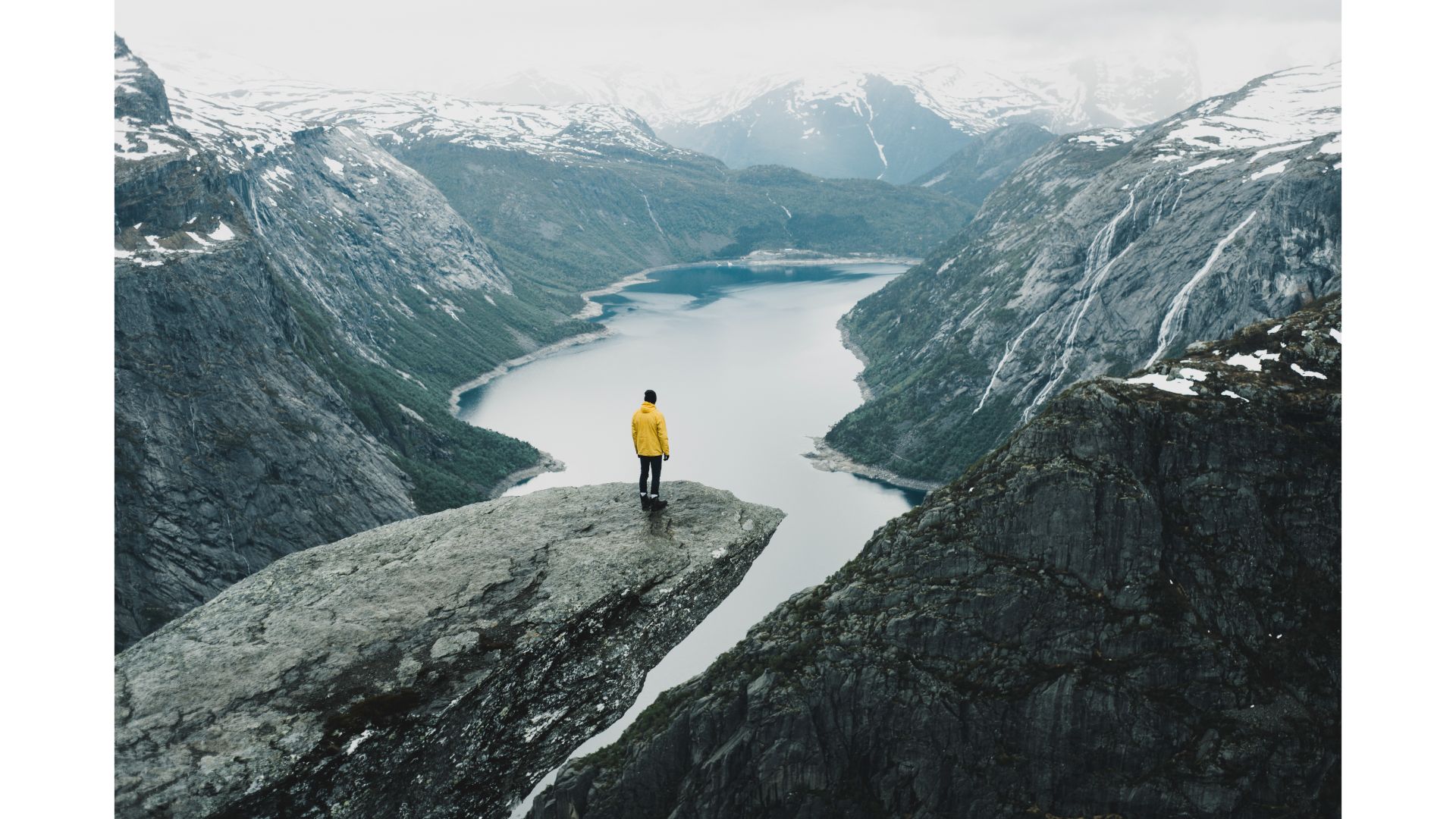
If you haven’t heard of the Trolltunga hike, the chances are you’ve seen at least one part of it while browsing social media – namely, the outlandish slab of rock (the “Trolls Tongue” from which the hike takes its name) that protrudes into the ether some 500 meters above the valley below. Every year, thousands of hikers from all over the world head to Trolltunga to get a snap of themselves standing on the tip of the troll’s tongue, but the hike itself is well worth doing in its own right. Over 17.5 miles of trail, hikers put in 800 meters of ascent while wending their way up an occasionally steep path with views of the cerulean Ringedal Lake, the Folgefonna Glacier, and a slew of stunning snow-capped peaks.
3. Tre Cime di Lavaredo
Location: Veneto and Trentino-Alto Adige, Italy
Distance: 14 miles (23km) from Bagni di San Giuseppe/7 miles (10km) from Rifugio Auronzo
Duration: 6-8 hours (from Bagni di San Giuseppe)/3 hours from Rifugio Auronzo
Difficulty: Moderate
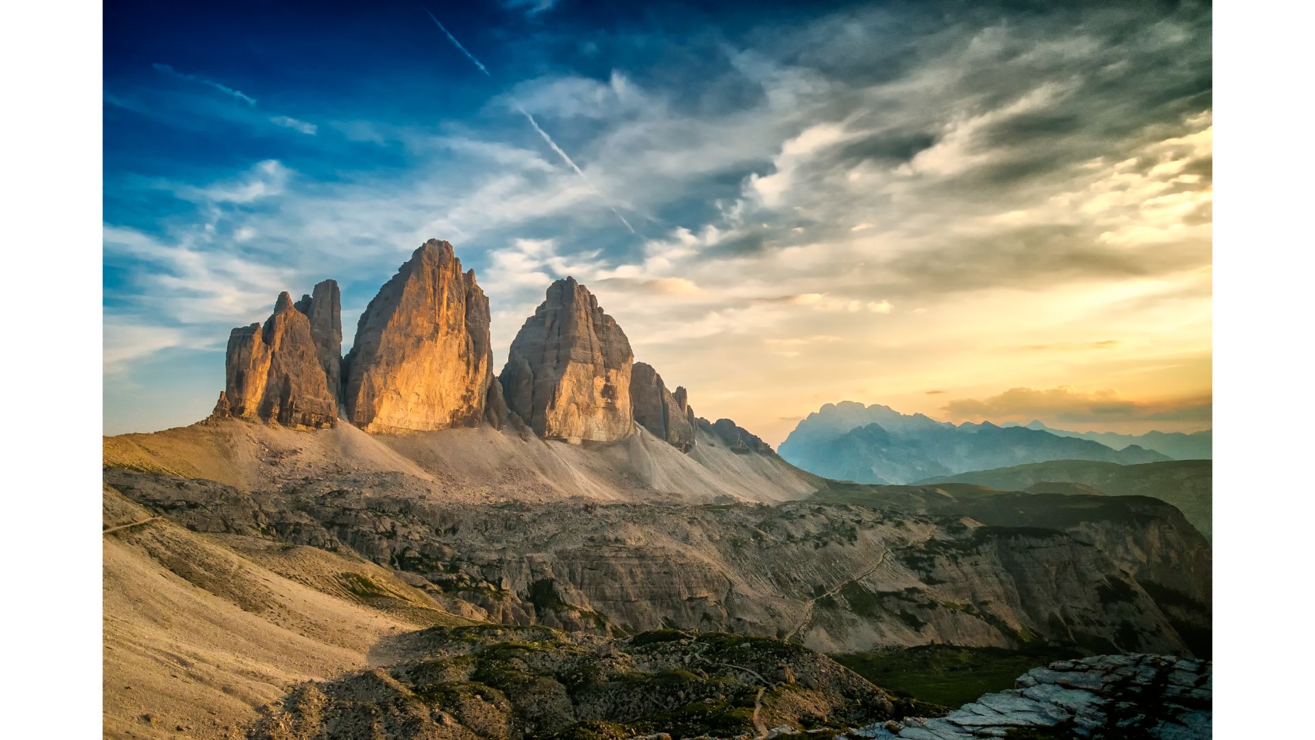
The Tre Cime di Lavaredo (“Three Peaks of Lavaredo”) are possibly the most photographed and iconic mountains on the planet – and, given just one look at the things, it’s very easy to see why! This trio of minaret-like spires are awe-inspiring from all angles, and on the three-hour loop from the Auronzo mountain hut (Rifugio Auronzo), you’ll get to see every inch of them, and probably even spot a few rock climbers precariously poised somewhere on any of the dozens of rock routes that ascend their various faces.
Luckily, the various trails that take you to the Tre Cime let you enjoy far more than the three peaks alone and afford outstanding views of all the major tops of the Sesto Dolomite Group, from the mighty spire of Cima 11 to the fang-like Monte Paterno, which has an awesome, easy via ferrata route that leads up through old WWI tunnels to a summit overlooking the Tre Cime themselves.
While the hike can be done as a three-hour loop from Rifugio Auronzo on the south side of the peaks (reachable by car/bus), we’d highly recommend you start your hike from Bagni di San Giuseppe to enjoy the sumptuous mountain scenery on the approach through Val Fiscalina.
4. Aonach Eagach Ridge
Location: Glencoe, Scotland
Distance: 6 miles (9.5 km)
Duration: 4-6 hours
Difficulty: Challenging
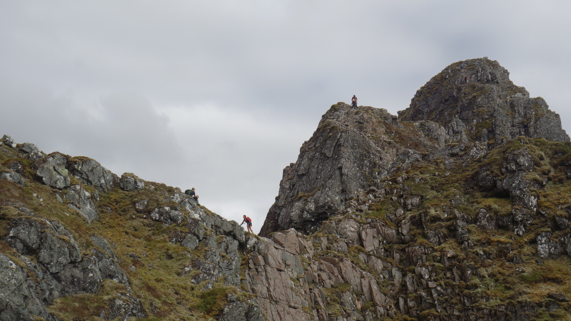
If exposure, moderate scrambling, and sumptuously wild mountain scenery are your thing, then Scotland’s Aonach Eagach Ridge is one not to be missed.
This hike starts off easily enough, climbing steadily from the roadside at the foot of the brooding peak of Bidean nam Bian towards the start of the hostilities, which arrive shortly after the summiting Am Bodach, the first of the three peaks strung along the ridge. From there, things take a swift turn for the “interesting” as the “trail” (scare quotes required) veers first down a steep, exposed rocky escarpment and then enters the infamous “Pinnacles” section of the route, on which you’ll be forced into full-blown scrambling up, over, and around a succession of rocky spires some 400 feet above the nearest landing place. The handholds on this section of the route are plentiful and make negotiating the Pinnacles relatively straightforward in dry conditions, but a good head for heights (and perhaps a change of underwear) is essential nonetheless.
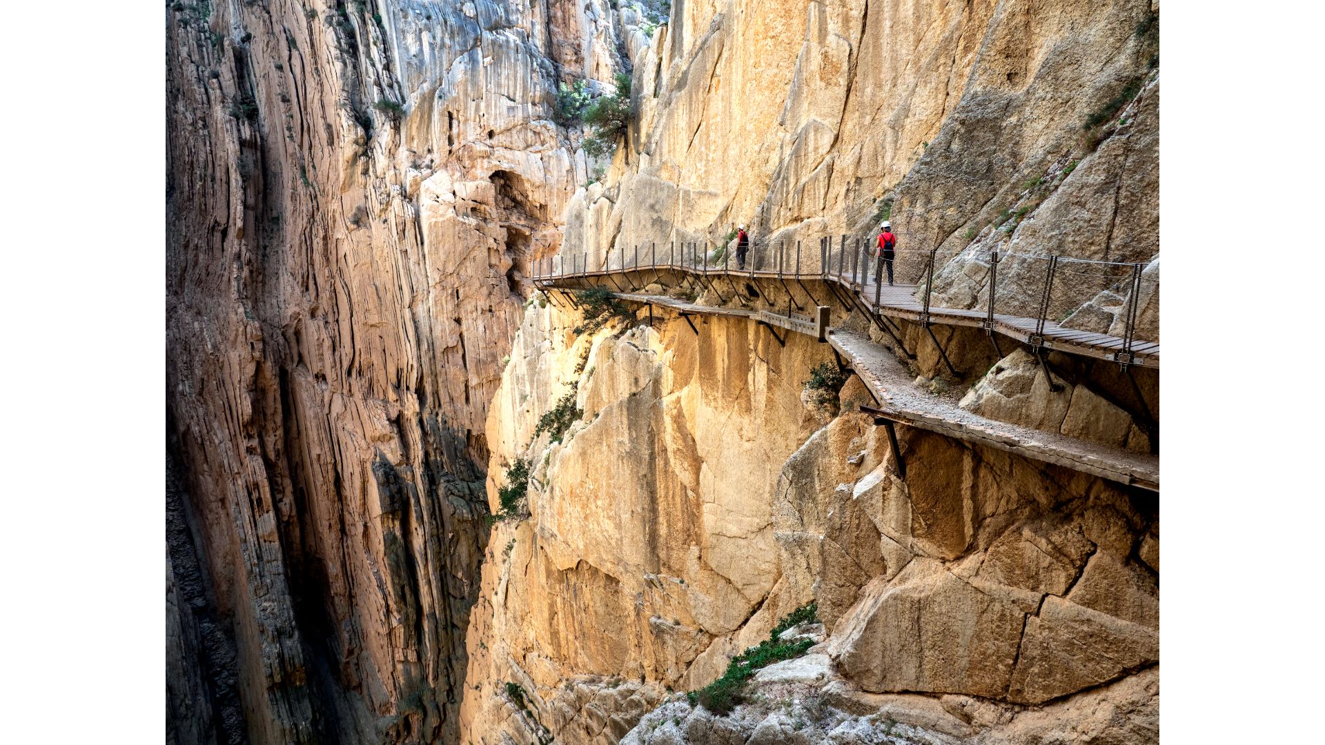
5. El Camino del Rey
Location: Malaga, Spain
Distance: 4.6 miles (7.5km)
Duration: 3-4 hours
Difficulty: Challenging
Another one for the intrepid and steely of nerve, Malaga’s “Way of the King” is a hike frequently featured on lists of the most dangerous hiking trails in the world and categorically not for the faint of heart.
The camino measures around 7.5 km from end to end, but owes its fame – and notoriety – to a 3-kilometer “walkway segment” in the middle that requires hikers to use fixed cables, chains, and (very) airy walkways to clamber over and around the precipitous walls of the gorge, some 100 meters above the valley floor.
Former Advnture editor Kieran is a climber, mountaineer, and author who divides his time between the Italian Alps, the US, and his native Scotland.
He has climbed a handful of 6000ers in the Himalayas, 4000ers in the Alps, 14ers in the US, and loves nothing more than a good long-distance wander in the wilderness. He climbs when he should be writing, writes when he should be sleeping, has fun always.
Kieran is the author of 'Climbing the Walls', an exploration of the mental health benefits of climbing, mountaineering, and the great outdoors.
