Best hikes in Rocky Mountain National Park: Colorado's home to over 100 peaks
Our guide to the best hikes in Rocky Mountain National Park takes you on scenic tours of towering peaks, alpine tundra and dramatic basins all at high altitude
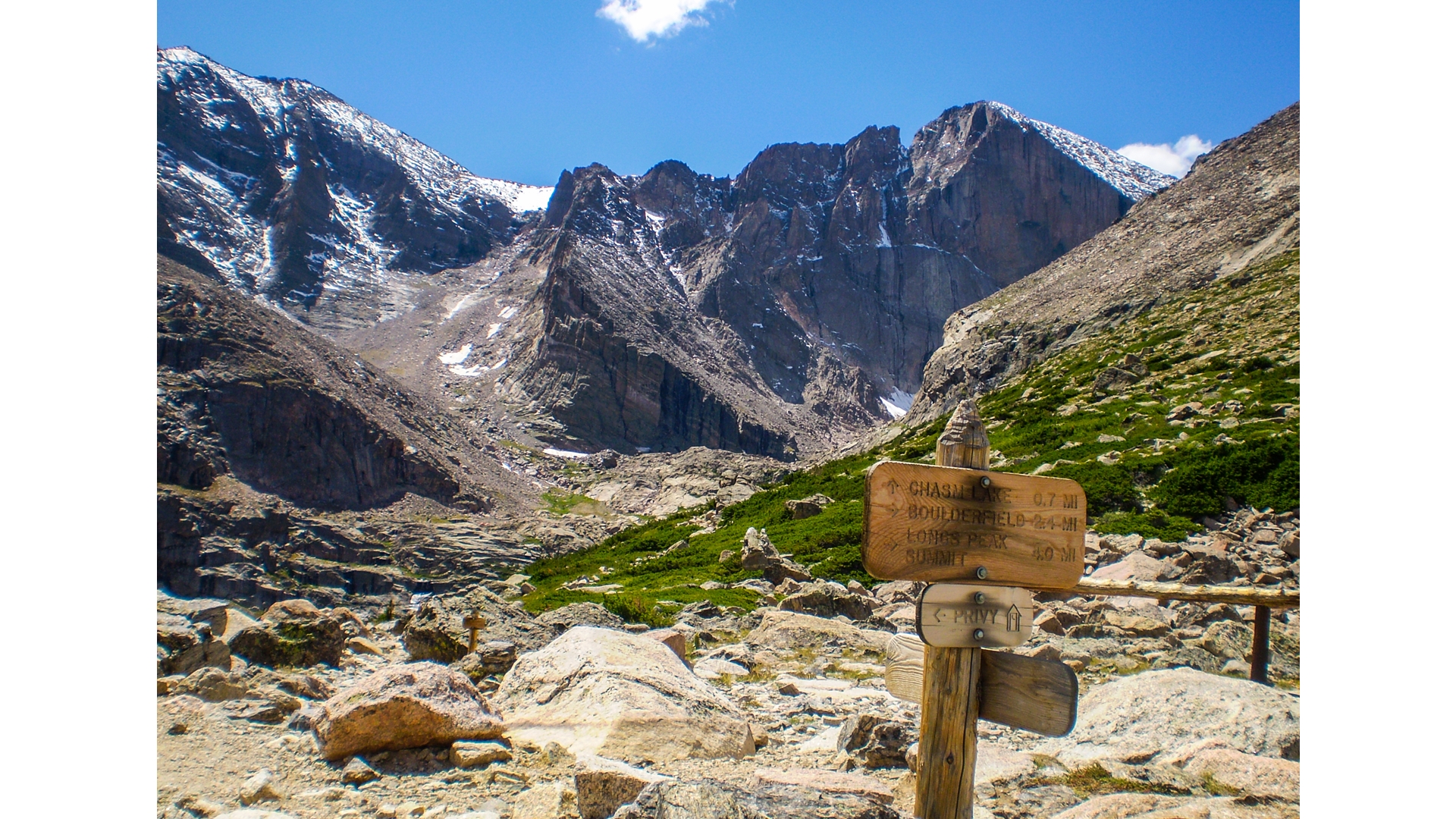
Whether you’re strolling around a picturesque alpine lake or scrambling the Keyhole Route to a rocky summit, the one thing that all the best hikes in Rocky Mountain National Park have in common is pristine preservation of Colorado’s wilderness.
Home to more than 100 peaks over 11,000ft and only an hour and a half drive from Denver, Colorado’s crown jewel makes both a memorable day trip and a rewarding adventure holiday. Rocky Mountain National Park sits near the scenic resort town of Estes Park in northern Colorado and its 415 square miles of stunning wilderness that attracts millions of visitors every year for good reason. The park offers the absolute best of Colorado’s Rockies, from elk, bighorn sheep and moose sightings to turquoise lakes and breathtaking peaks, much of it accessible by car. However, for this guide we take a deeper look at exploring its plentiful trails on foot.
After reading this, you’ll want to grab your hiking boots and load up your backpack to begin your tour of some of the most scenic spots in the country.
Bear Lake Nature Trail
Distance: 0.8 miles
Difficulty: Easy
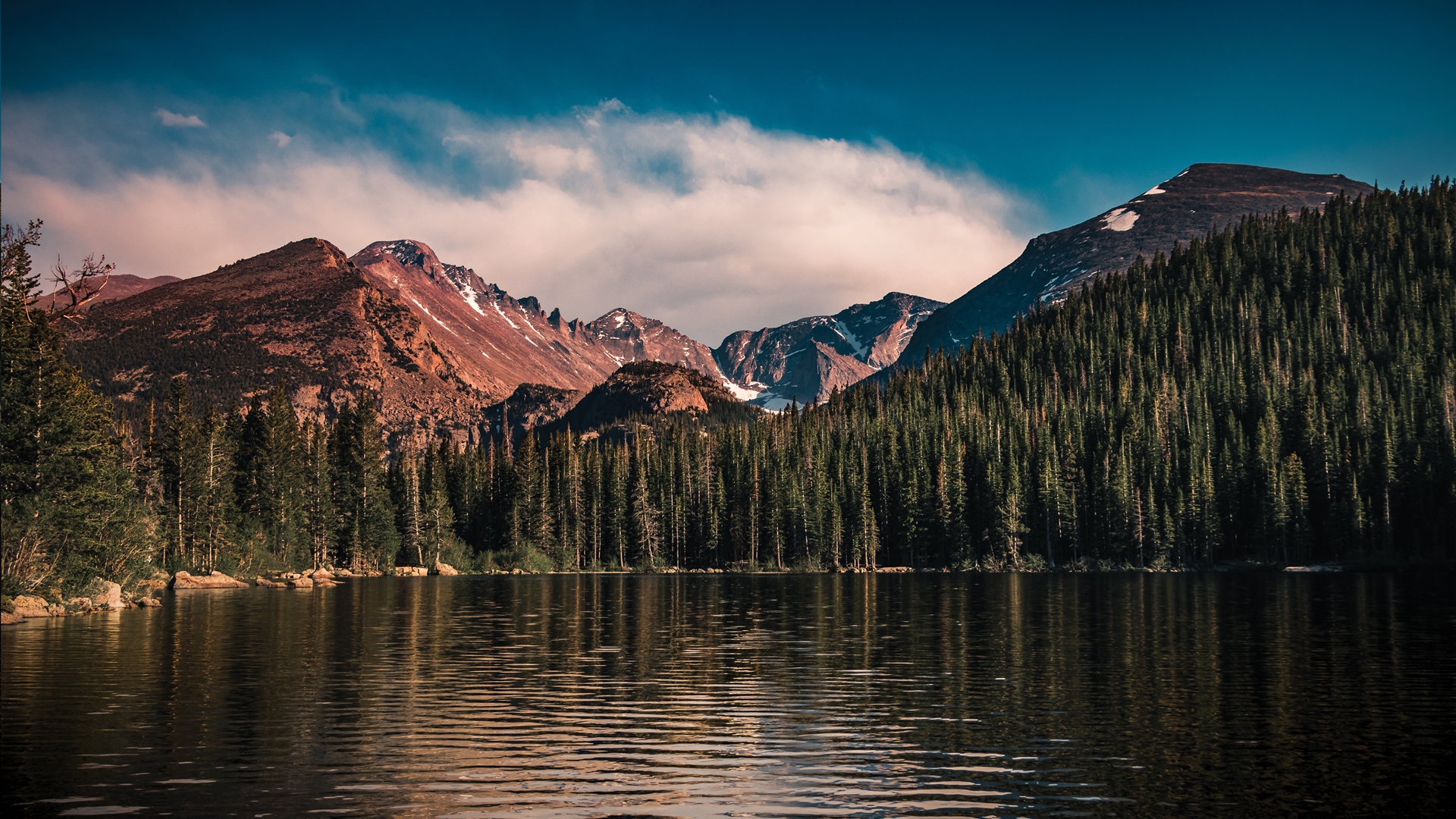
Bear Lake is easily one of the most popular destinations in the park, and while it’s true that its easy rating attracts large crowds, it offers truly spectacular views making it a worthy walk on your agenda.
Beginning at the Bear Lake Trailhead, simply follow the loop around the water’s edge which provides a mostly flat walk. This subalpine lake offers near-perfect reflections of the surrounding mountains on a still day and it’s worth starting early to grab some impressive photographs. Near the beginning of the loop you’ll enjoy the views of Hallet peak. The walk then takes you through lodgepole pine and aspen groves and you’ll be treated to stunning views of Half Mountain beyond the southern shore of the lake.
Emerald Lake
Distance: 3.5 miles
Difficulty: Easy
Advnture Newsletter
All the latest inspiration, tips and guides to help you plan your next Advnture!
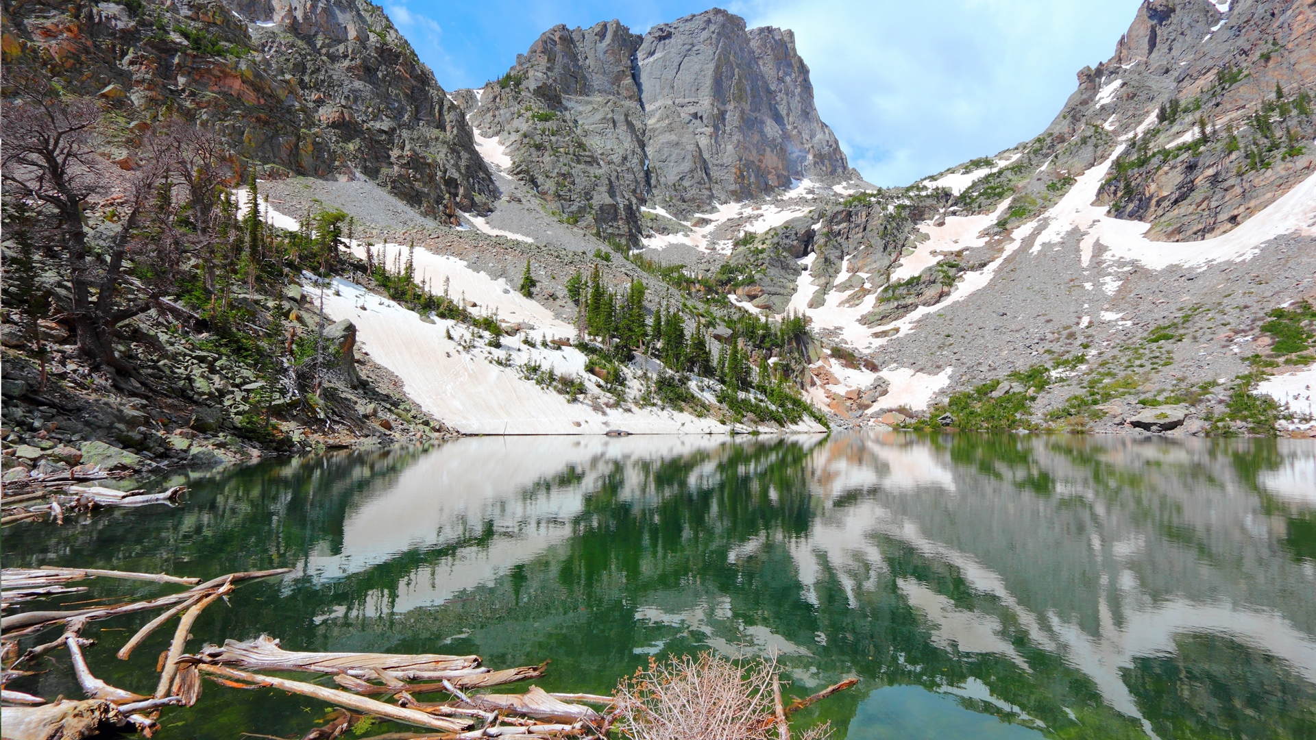
Framed by Hallet Peak in the distance, Emerald Lake is easily one of the most coveted sights in the park. This hike can also be paired with Bear Lake for a longer excursion.
Start out from the Bear Lake trailhead and take a left at the first junction to join the Emerald Lake trail. You’ll start climbing through the forest almost straight away and soon pass pretty Nymph Lake, which makes an excellent pit stop before the steeper climb that follows. Enjoy stunning views of Hallet Peak and Flattop Mountain before reaching Dream Lake. After the lake, you’ll climb through picturesque Tyndall Gorge towards Flattop Mountain finally arriving at Emerald Lake, an idyllic spot for a picnic lunch.
Ute Trail
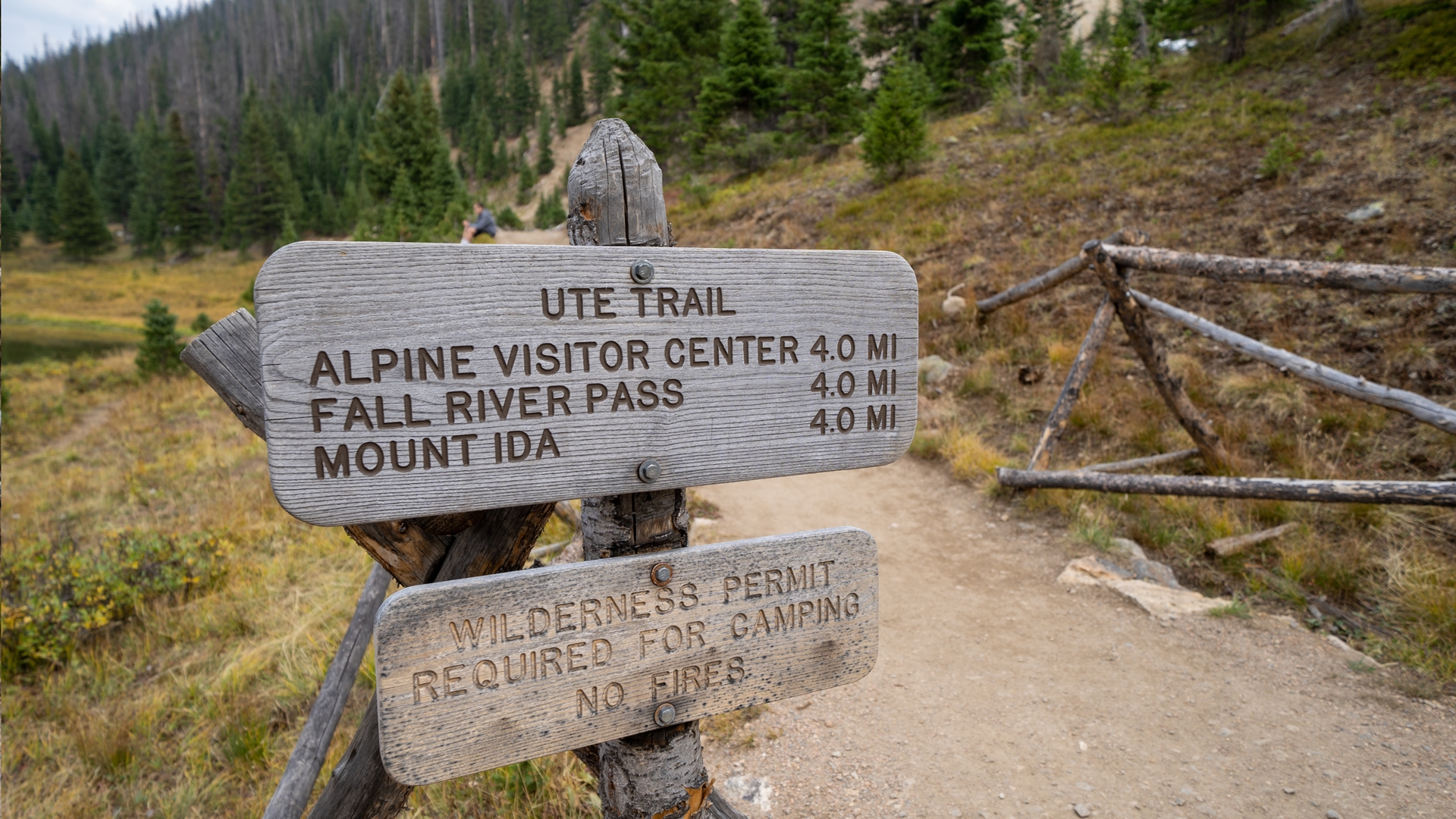
Distance: 4 miles
Difficulty: Easy
The Ute trail was used by Ute and Arapahoe tribes for hunting purposes and today offers incredible high alpine views without substantial climbing involved.
Beginning from the Ute Crossing trailhead means you’ll start above treeline in the alpine tundra and be able to enjoy a relatively flat hike, except for two short climbs. It also promises sweeping views of the park but little shelter from the elements so it's best on a sunny day. After the second climb, you’ll descend slightly until you reach Timberline Pass which is considered the end point for this hike. From this high vantage point, you’ll be able to enjoy spectacular views of Longs Peak, Estes Park and Morain Park.
Chasm Lake
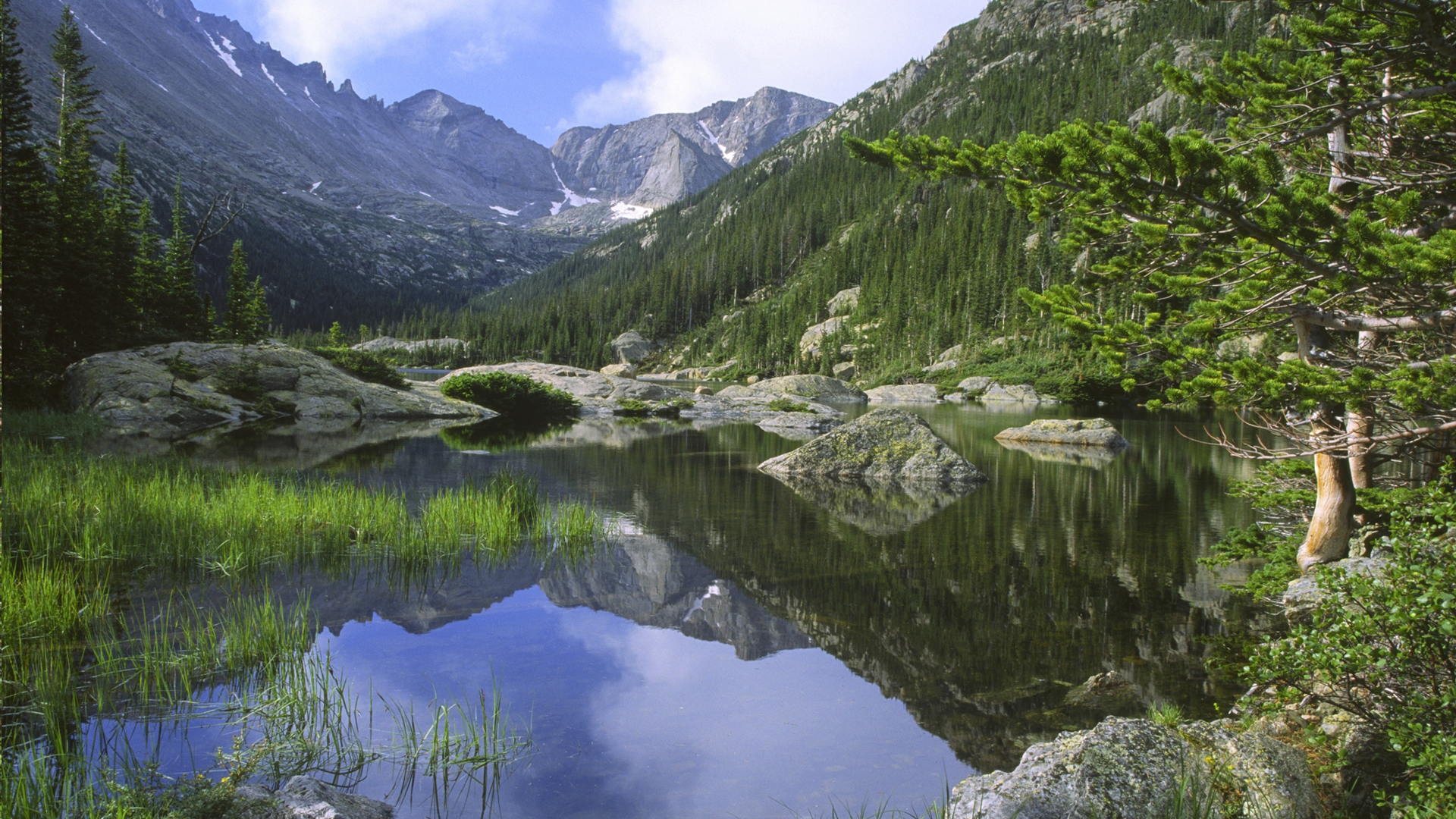
Distance: 8.5 miles
Difficulty: Difficult
Chasm Lake sits in a bowl formed by Mount Lady Washington and Longs Peak and the high cliffs surrounding it make for a stunning backdrop. At almost 12,000ft above sea level, this challenging hike offers a dramatic alpine lake adventure.
You will start out from the Longs Peak trailhead and follow the East Longs Peak Trail for much of this hike. Start early and enjoy the shade of the lush evergreen forest for the first two miles or so. Once you leave the forest you’ll have views of Mount Meeker, Mount Lady Washington and Longs Peak as you climb through subalpine tundra. At about 3.5 miles, arrive at a signposted junction where you’ll leave the Longs Peak trail and follow the Chasm Lake Trail along the wall of a deep gorge which passes over a waterfall before opening into the basin that ultimately leads you to the lake. Expect some easy scrambling towards the end then relax and enjoy lunch at the lake.
Flattop Mountain Trail
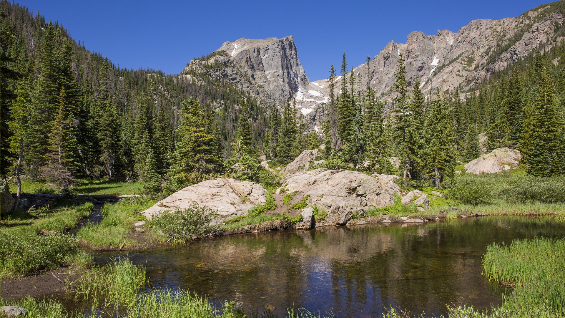
Distance: 9 miles
Difficulty: Difficult
According to the book Rocky Mountain National Park: A History, the Flattop Mountain corridor provided a common route for the Arapahoe tribe to travel between the Rocky Mountains and the hunting lands of the Great Plains. Today it is a well maintained trail offering dazzling views of the surrounding mountains and perfect pit stops at the gorgeous Dream Lake Overlook and Emerald Lake Overlook.
Begin this hike from the Bear Lake Trailhead and start out following the Bear Lake Loop Trail. Skirt the eastern edge of Bear Lake for a short while before taking a right at the first crossroads and beginning your winding ascent through an aspen grove. After about half a mile, you’ll reach the junction with the Bierstadt Lake Trail and take a left. As you start to climb higher, make sure to pause to enjoy the abundant vistas of Longs Peak, the Keyboard of the Winds, Chiefs Head Peak and Pagoda Peak. At the next junction, join the Flattop Mountain Trail. From here, the climb becomes more challenging so be sure to take rest breaks at Dream Lake Overlook and Emerald Lake Overlook and drink in the views of Longs Peak. As the name suggests, the trail culminates with a rather mellower incline and the broad summit allows spectacular views of Notchtop Mountain and Ptarmigan Point.
Ypsilon Lake Trail
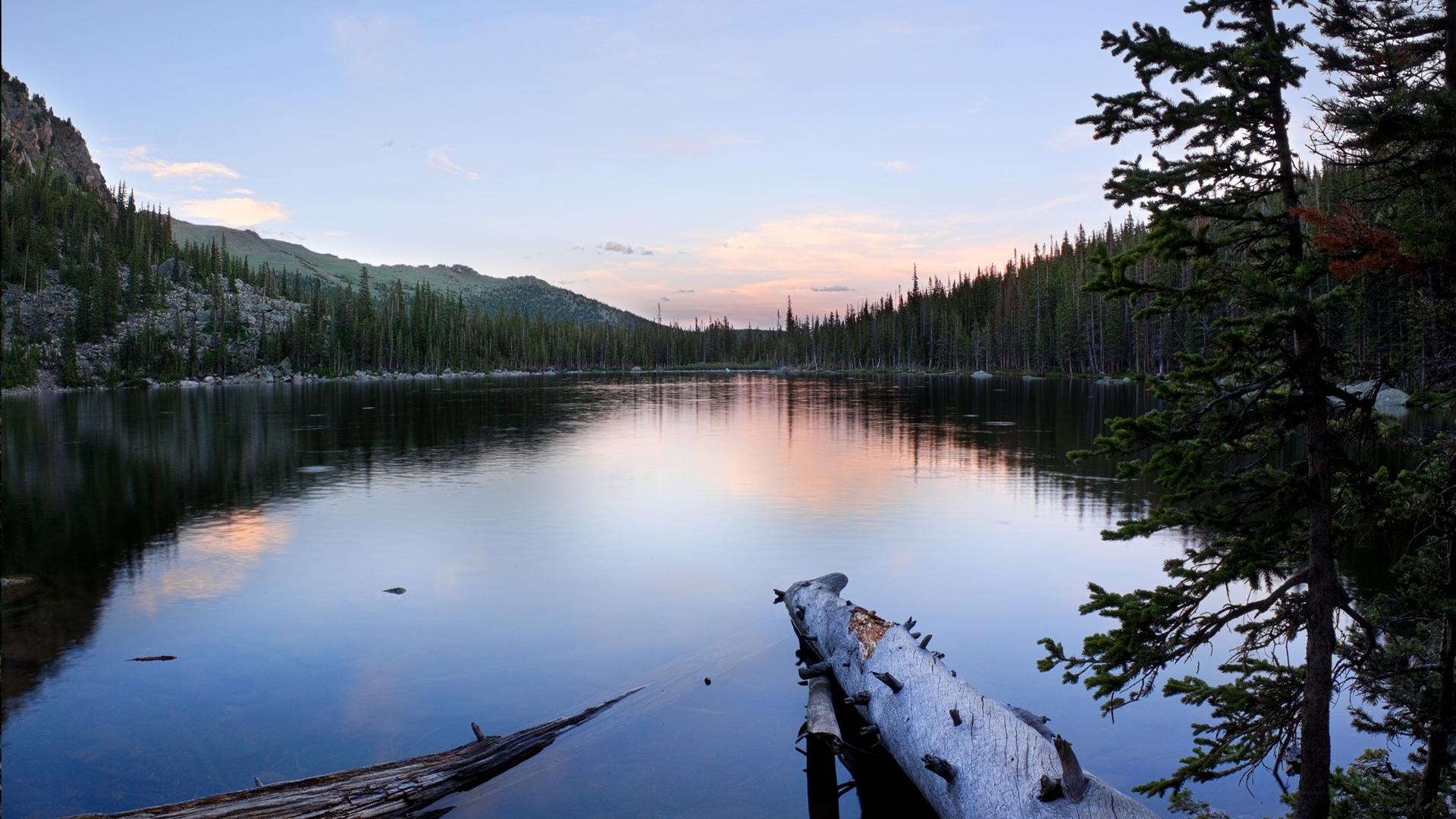
Distance: 9 miles
Difficulty: Difficult
Nestled into the base of Ypsilon Mountain and Mount Chiquita, this waterfall-fed lake provides a charming destination at which to cool off after this challenging ascent.
Starting from the Lawn Lake Trailhead, begin a steep climb through dense pine. After about a mile, reach the banks of the Roaring River which was formerly dammed to create an alpine lake. The failure of the dam in 1982 was catastrophic and a good reminder of the awesome power of nature. You’ll reach the maximum elevation of this trail after about 3.5 miles when the trail flattens out at beautiful Chipmunk Lake, then begins to descend towards Ypsilon Lake. Be sure to make your way around to the opposite side of the lake when you arrive for the best views!
Mount Ida
Distance: 9.3 miles
Difficulty: Difficult
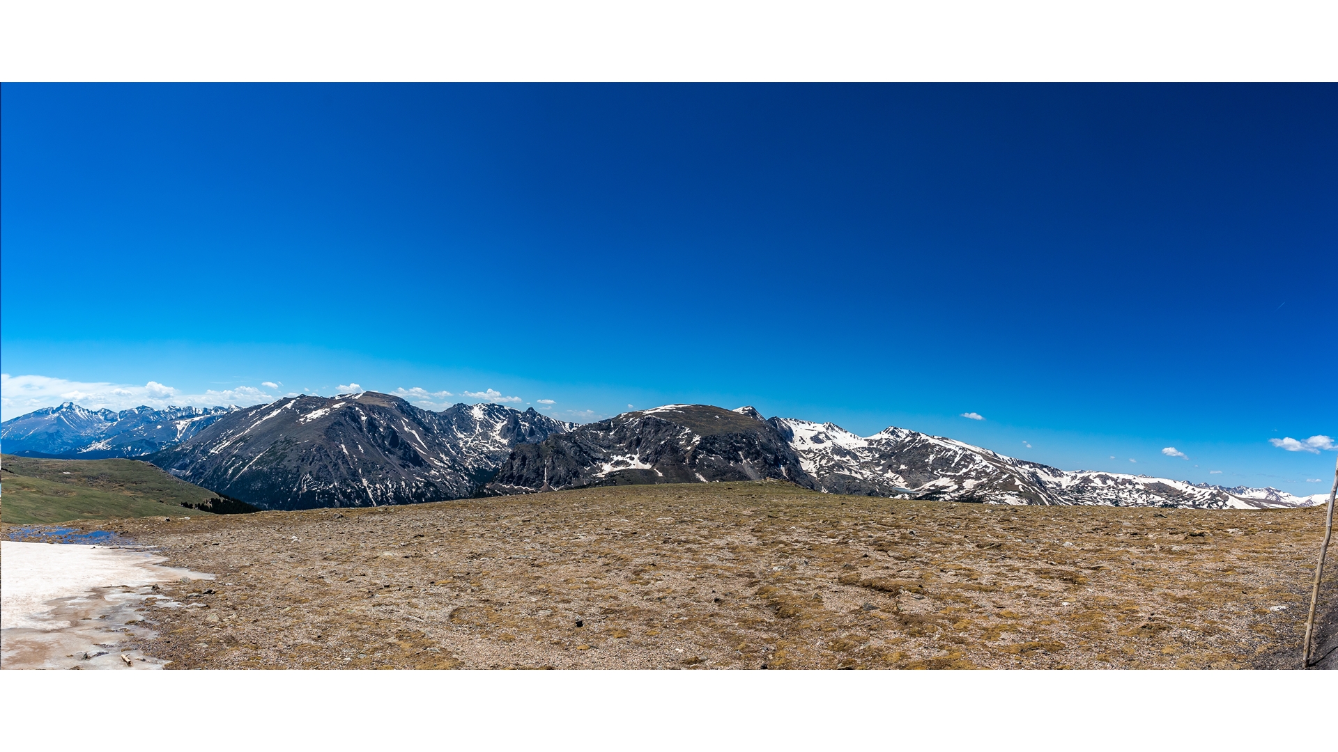
Mount Ida is often voted best hike in Rocky Mountain National Park, and it’s easy to see why. The panoramic views all the way up are absolutely stunning. Though with 2465ft of elevation gain it is rated as difficult, particularly towards the summit, it does not expose you to steep drop offs like some other park favorites.
The trail begins by circling part of pretty Poudre Lake before the ascent through subalpine forest begins. At the first junction, bear right to stay on the trail and soon you will be rewarded with views of the Never Summer Mountains. It’s only about a mile before you’re above treeline and hiking across alpine tundra. The climb gets steeper here and after about three miles you’ll arrive at another junction on top of an unnamed mountain where you’ll be treated to views of Specimen Mountain and Shadow Mountain Lake. Bear right again to descend the saddle between the peak and Mount Ida for about half a mile before beginning the gruelling final push to the summit. The trail can become a little difficult to follow so use the cairns to avoid the boulder field. At the top, enjoy outstanding views of the surrounding mountains.
Longs Peak

Distance: 14.8 miles
Difficulty: Extremely difficult
For many visitors to Colorado, bagging one of the state’s 53 highly coveted 14ers (peaks higher than 14,000 feet) can be top of the list. Long’s Peak is the 15th highest in the state and its location inside Rocky Mountain National Park makes it a popular 14er to summit, but make no mistake: there is nothing easy about this hike.
With 3,825 feet of demanding elevation gain, Longs Peak is not for the faint of heart. It is the highest point in Rocky Mountain National Park and its famed Keyhole Route takes you across treacherous boulder fields, hair-raisingly narrow ledges framed by dramatic steep drops and sheer vertical rock faces and then there’s the long, steep scramble to the summit. If you do attempt this fantastic feat of a hike however, you’ll be rewarded with some of the best views of magnificent Rocky Mountain National Park and its 415 square miles of superb alpine and subalpine terrain.
Julia Clarke is a staff writer for Advnture.com and the author of the book Restorative Yoga for Beginners. She loves to explore mountains on foot, bike, skis and belay and then recover on the the yoga mat. Julia graduated with a degree in journalism in 2004 and spent eight years working as a radio presenter in Kansas City, Vermont, Boston and New York City before discovering the joys of the Rocky Mountains. She then detoured west to Colorado and enjoyed 11 years teaching yoga in Vail before returning to her hometown of Glasgow, Scotland in 2020 to focus on family and writing.

