I went hiking with AllTrails to find out how it's improved accuracy and safety, and now I never want to hike without it
We hit the trail with AllTrails+ to discover how it became synonymous with hiking
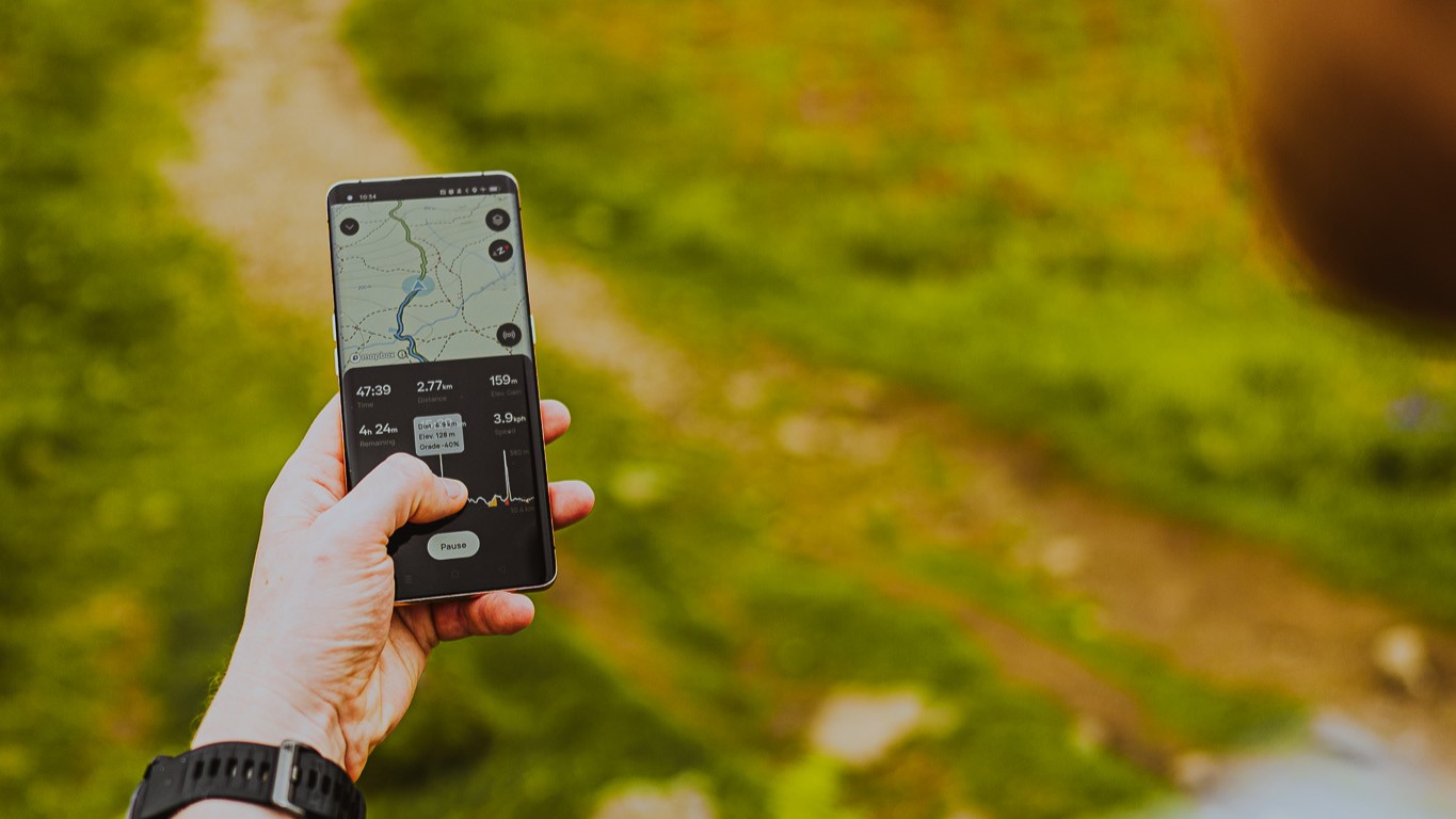
Standing in a hotel lobby with a group of journalists, I’m dressed for the trail in my hiking boots with a waterproof jacket on hand in preparation for the unpredictable weather here in the Lake District. We perform all the typical checks before a hike – water bottle, sunscreen, insect repellent – then we all get on our phones.
We’re here learning all about the AllTrails+ app and, despite the San Francisco-based company entering its 14th year, it’s all a bit new to me. Over the years, I’ve become accustomed to it popping up at the top of my search results when I’m looking up a route, and I’ve used it to find out the length of a hike or try to locate a trailhead. But as for using it to navigate? I’m afraid I’ve been putting it off.
My resistance no doubt has a trace of thinking that paper maps are better, but mostly it’s come down to me not wanting to be on my phone more than I have to when I’m hiking. But here I am, for the greater good, giving it a good college try.
“We want people to get outside and feel confident when they get outside,” explains AllTrails Head of PR Juliana Ead, who’s flown here from California and shows me how to search for the route we have planned today – a 6.4-mile loop taking in Loughrigg Fell, a Wainwright, Grasmere Lake and Rydal Cave – then download it.
Now, she explains, I can put my phone on flight mode for the duration of the hike and avoid pesky pings and a dying battery without losing access to my map. I’m already warming up to the idea.
On our ride to the trailhead, I explore the route. The opening page shows the trail on the map highlighted in green, and a helpful graph details the elevation profile. The 2,000 or so feet of climbing ahead of me takes place over the first half of the hike and looks fairly steady. The descent starts out a bit steep before leveling out, then there’s one more short but steep push at end to get us back to the trailhead – my knees might want my trekking poles for the initial downhill, I think.
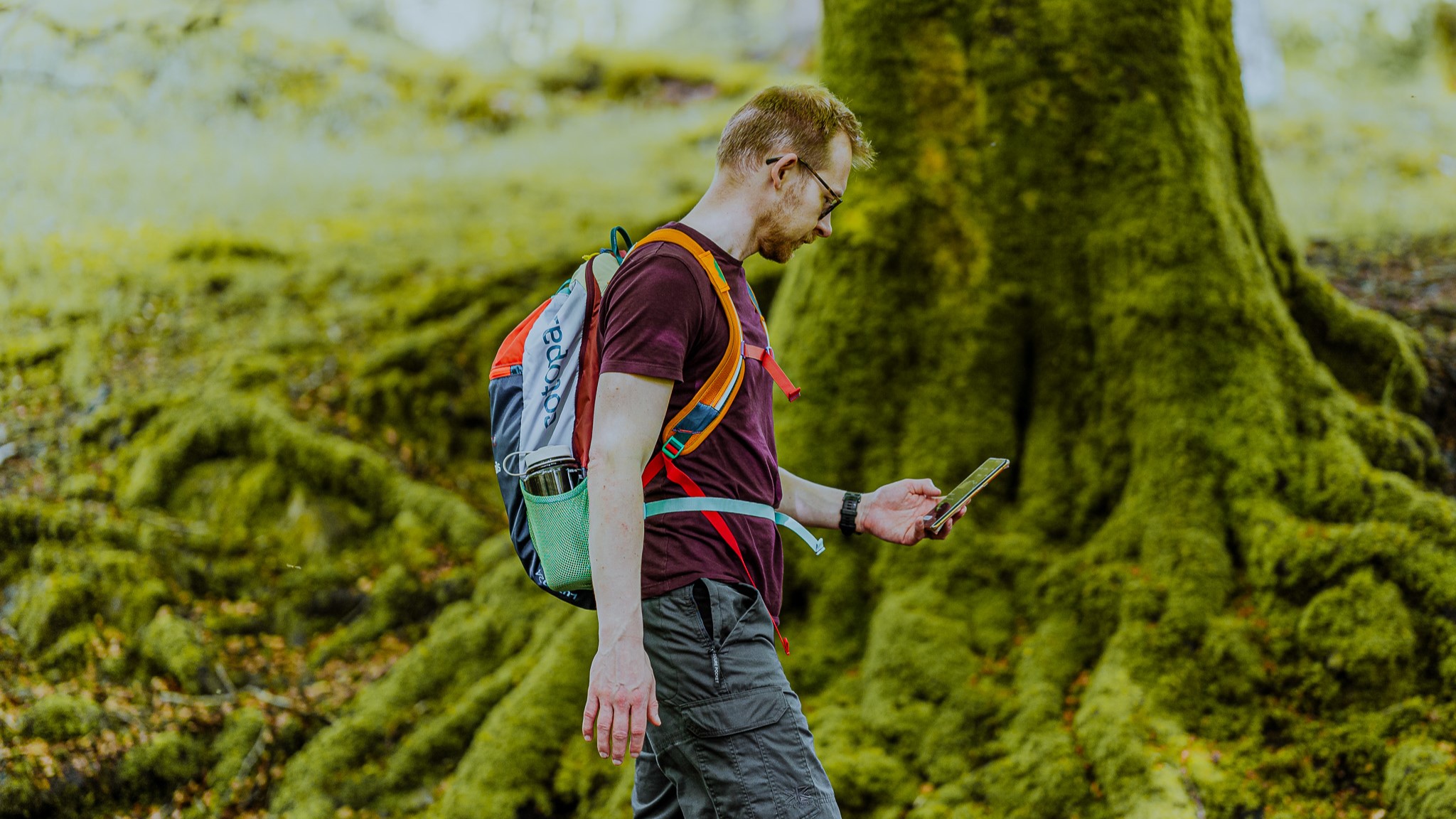
Next, I set up the Live Share function and the app sends a text to my boyfriend letting him know where I’ll be, in case things should fall apart at the seams and he needs to report me missing. I watch a simulated preview of the hike on a 3D map that gives me a better idea of the climbing and terrain. Scrolling down, I see the current weather conditions for the area. I won’t be needing my waterproofs after all.
Advnture Newsletter
All the latest inspiration, tips and guides to help you plan your next Advnture!
Then there are recent reviews from other users who have hiked the trail, describing it as straightforward to navigate with “stunning” views and it sounds like we might be just in time to catch the end of bluebell season.
It’s the reviews that Pitt Grewe, head of AllTrails Public Lands Partnership, says are one of the most compelling features of the app, which only accepts trails from users after verifying them, and updates them using hikers’ reports which might describe a trail being snow-covered or washed out by recent rain.
“It makes a difference to have that most current information. It pulls together a really good way to prepare and know what to expect and that’s what keeps people safe.”
AllTrails launched in 2010 in Silicon Valley, purchasing some 30,000 GPX hiking routes from other organizations to get started. Between massive fundraising efforts, acquiring smaller apps and the surge in interest in the outdoors during the pandemic, AllTrails has emerged one of the most recognizable route-finding apps today. It has over 400,000 trails across the globe, more than 50 million users and was voted the best iPhone app of 2023.
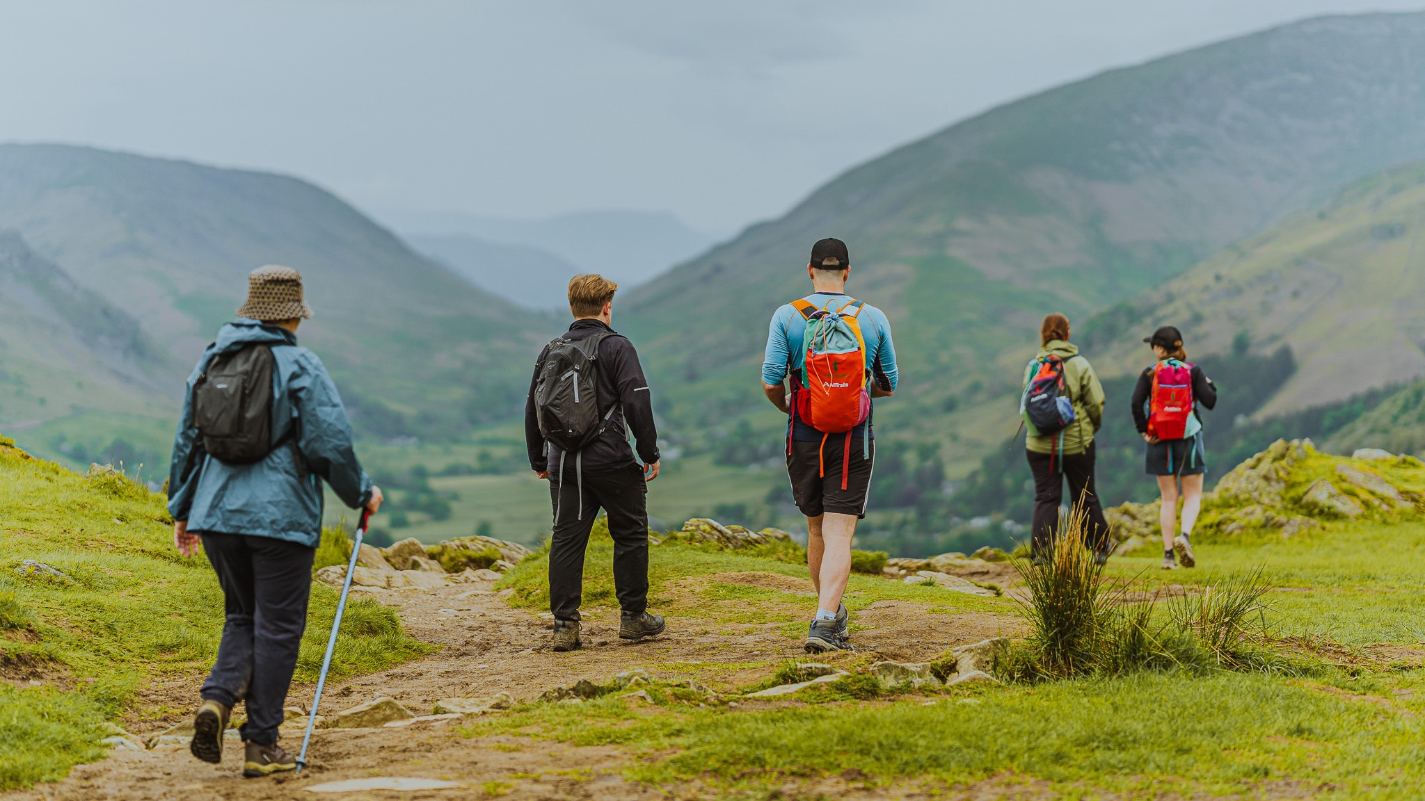
At the trailhead, I hit start on the route and an arrow points me in the right direction as we briefly cross the picturesque town of Ambleside before beginning our climb through a shaded forest. Soon, we break free of the trees and are quickly rewarded by the mountain views I’ve been promised by recent hikers.
As we climb, AllTrails UK Country Manager Gareth Mills tells me that it’s accurate reviews – not necessarily glowing ones – that are crucial to the success of AllTrails.
“We want the honest feedback. We don’t want every review to be five stars because we want the next people who come out here to be prepared and have a good experience.”
As we near the summit of Loughridge Fell, several trails lead in different directions. An avid hiker, I know how easy it is to take a wrong turn in moments like these. We experiment with taking the wrong path and almost instantly, a message flashes up on my phone advising me that I’ve gone off route. I have the option of ignoring it, which in this case I do for a scenic vista, or following the arrow to get back on course.
“The main mission is that we want to get more people outside, particularly the generation that hasn’t been brought up reading maps properly,” says Mills, and it’s quickly clear that you could use the app with no previous navigation experience and most likely get yourself up, and back down, a mountain if you were prepared for the conditions and fit enough.
Despite its useful features and popularity – the app reached over a million paid subscribers in 2021 – AllTrails hasn’t been without its negative press. Last year, SF Gate reported the app was still giving directions to Hawaii’s deadly Queen’s Bath despite the trail being closed at the time, and we’ve previously reported on North Carolina hikers falling into trouble in a quest to view daffodils each February after reviews on AllTrails fail to mention its difficulty and lack of signage.
Today, though, both of those trail descriptions have been updated to warn aspiring adventurers on the potential dangers of the trail, and pressing them to observe closures. Keeping trail descriptions accurate is a constant job in the background of AllTrails, where a Data Integrity Team constantly mines reviews for flag terms like “closed” and “dangerous.”
Meanwhile, the Public Lands Partnership launched earlier this year gives land managers such as National Park officials direct access to trail descriptions so that they can issue alerts and provide updates on conditions. Already, the program has been indicated in a 66 percent decrease in search and rescue efforts in Olympic National Park.
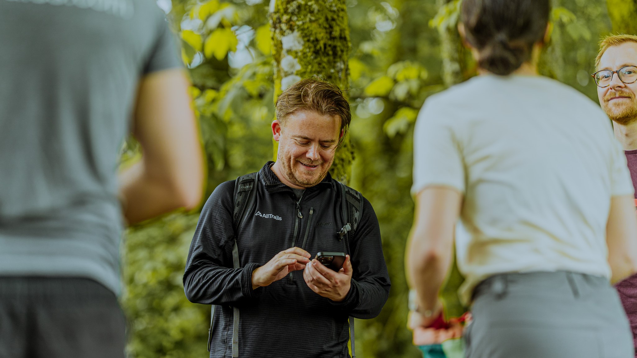
With all this information, is it possible to still get lost on a mountain, or find yourself over your heads on a trail you don’t have the gear or fitness for? Sure, but it’s difficult to say that’s down to incomplete information from AllTrails.
“We all agree that you can’t solve for people making bad decisions, but ultimately you can solve a lot of those problems by just helping people be better prepared,” says Grewe.
As a test, I check out the description of a popular waterfall hike that I used to do regularly in Vail, Colorado. It’s the end of May, so I know the trail will still be snow-covered and treacherous, even if the snow in town has melted. But I’m curious to see if off-season visitors taking advantage of the cheaper hotel rooms in the area will be advised of that. Sure enough, the first reviews I see advise of slippery conditions and the need for traction devices like crampons and poles before attempting this hike.
As Mills says, hikers have been going out unprepared “since the dawn of hiking,” but now they at least have a little more information at their disposal. What they choose to do with it, of course, is up to them.
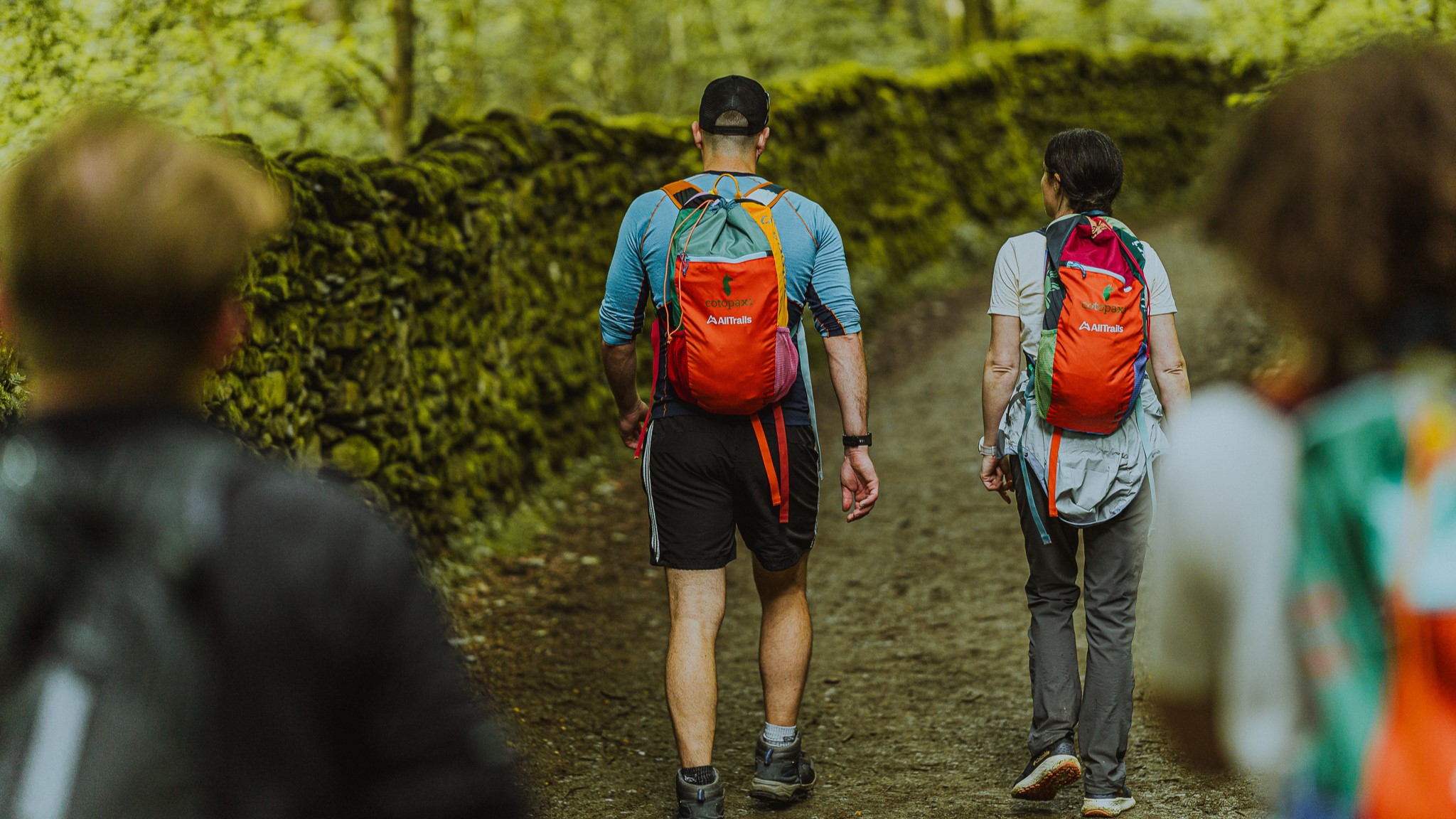
One thing AllTrails users don’t seem to be using the app for is to stoke a sense of competition, something certain other navigation apps have become notorious for.
“AllTrails is built for everybody, to help those that want to go on the half-mile stroll around the pond to help them be happy and healthy to the person who is planning a rugged, multi-day adventure across mountain terrain,” says Grewe.
“It’s a resource to help you be outside the way you want to be outside. There’s no adventure too big or too small.”
When I get back to the trailhead, I hit pause and end navigation. Live Share alerts my boyfriend that I’m safe and I am instantly prompted to share a review of my experience. Ordinarily, when I’m asked to review my Uber driver or a purchase on Amazon, I gripe bitterly about how sick I am of living in a world where we all review everything – and each other – to death. But in this case, I’m keen to let others know what I thought of the hike. It was beautiful, and I don’t want my fellow hikers to miss out, but I also want to them to be aware that there’s some scrambling involved.
I give it five stars, add a few photos, and hope I’m leaving enough to the imagination to allow others to have their own adventure.
Julia Clarke is a staff writer for Advnture.com and the author of the book Restorative Yoga for Beginners. She loves to explore mountains on foot, bike, skis and belay and then recover on the the yoga mat. Julia graduated with a degree in journalism in 2004 and spent eight years working as a radio presenter in Kansas City, Vermont, Boston and New York City before discovering the joys of the Rocky Mountains. She then detoured west to Colorado and enjoyed 11 years teaching yoga in Vail before returning to her hometown of Glasgow, Scotland in 2020 to focus on family and writing.
